VA Section 34 Pictures - Milemarker 1.0 - 3.4
Va 634 - Angels Rest
Move your mouse across the pictures for more information.
mm 1.4: The southbound trail just as it reaches VA 634
Submitted by dlcul @ conncoll.edu
mm 1.4 Parking on VA 634 near Pearisburg. The actual trail crossing is a short distance further up the road.
Submitted by dlcul @ conncoll.edu
mm 1.4: Southbound the trail leaves VA 634 by climbing these steps, thus beginning the climb to Angels Rest.
Submitted by dlcul @ conncoll.edu

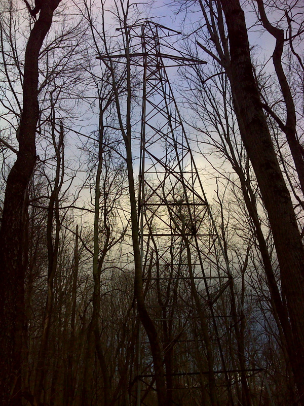
mm 2.4 Abandoned power line tower, one mile trail south of Morris Ave (VA 634). GPS N37.3220 W80.7534
Submitted by pjwetzel @ gmail.com
mm 3.4 Trail sign at Angels Rest. The northbound mileages (those to the right in the photo) do not match those in the newest (6th) edition of the AT Guide to Southwest Virginia.
Submitted by dlcul @ conncoll.edu
mm 3.4 One of the massive boulders in the vicinity of Angels Rest
Submitted by dlcul @ conncoll.edu
mm 3.4 View from Angels Rest towards Pearisburg and the New River
Submitted by dlcul @ conncoll.edu
mm 3.4 View from Angels Rest
Submitted by dlcul @ conncoll.edu