VA Section 34 Pictures - Milemarker 5.7 - 8.7
Powerline - Docs Knob Shelter
Move your mouse across the pictures for more information.
mm 5.7 View to the north from the more westerly (trail south) of the two power line right-of-ways.
Submitted by dlcul @ conncoll.edu

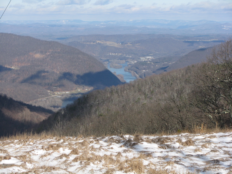
mm 5.7 Telephoto shot of New River just west or Narrows from power line clearing on AT. This is a winter view (January 2012).
Submitted by pjwetzel @ gmail.com
mm 6.0 The more northern (compass east) of the junctions of the AT with an old road. From here the southbound trail follows the old road for almost three miles.
Submitted by dlcul @ conncoll.edu

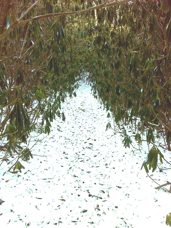
Green (and white) Tunnel. Between mm 6.0 and 8.8, the trail follows an old road, many times through rhododendron thickets like this. GPS N37.2889 W 80.7973. Taken January 2012.
Submitted by pjwetzel @ gmail.com
Flame azalea at approx. mm 6.5.
Submitted by dlcul @ conncoll.edu
Rhododendron bloom at approx. mm 7.5.
Submitted by dlcul @ conncoll.edu
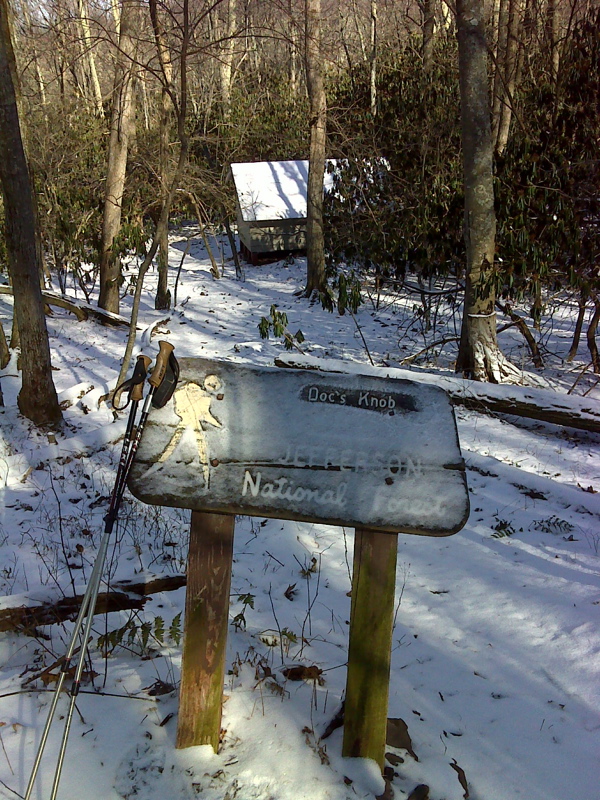
mm 8.7 Sign for Docs Knob Shelter.
Submitted by dlcul @ conncoll.edu

mm 8.7 Access Trail to Docs Knob Shelter
Submitted by pjwetzel @ gmail.com