VA Section 34 Pictures - Milemarker 9.8 - 13.7
Doc's Knob Shelter - Big Horse Gap
Move your mouse across the pictures for more information.
mm 9.8 Docs Knob Shelter. A thru-hiker was attempting to start a fire with wet wood, hence the smoke visible in the picture.
Submitted by dlcul @ conncoll.edu
mm 9.9 The more southern (compass west) of the junctions of the AT with an old road. From here the northbound trail follows the old road for almost three miles. In the other direction the old road continues 0.1 - 0.2 miles to a forest road and a parking area.
Submitted by dlcul @ conncoll.edu
mm 9.9. Parking area. From here an old road can be followed 0.1-0.2 miles to meet the AT near Docs Knob Shelter. This parking area can be reached by following a dirt USFS road about 2 miles from Sugar Run Gap.
Submitted by dlcul @ conncoll.edu

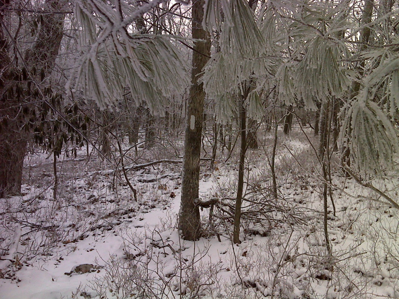
Hoar Frost and an inch of snow between Docs Knob Shelter and Sugar Run Gap. Taken in January 2012. GPS N37.2614 W80.8372
Submitted by pjwetzel @ gmail.com

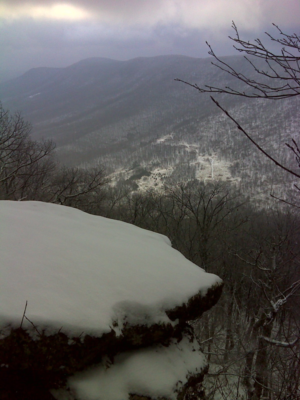
mm 10.7 View of Sugar Run Mountain from rocks near Docs Knob Shelter on a cloudy morning in January. A blue-blazed trail leads to this viewpoint.
Submitted by pjwetzel @ gmail.com
MM 12.1 Sugar Run Gap from trail crossing.
Submitted by dlcul @ conncoll.edu
The AT climbs a small ledge in a rhododendron grove. Taken at approx. MM 12.3.
Submitted by dlcul @ conncoll.edu
MM 13.7 Big Horse Gap taken from trail crossing. Note that USFS 103 bears left. The road straight ahead is gated and probably leads to some sort of transmission tower. Best parking in the area is probably just to right at the intersection.
Submitted by dlcul @ conncoll.edu