VA Section 34 Pictures - Milemarker 13.8 - 17.6
North Junction Ribble Trail - Sugar Run Mt.
Move your mouse across the pictures for more information.

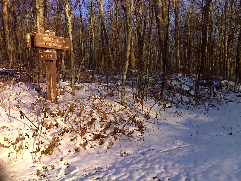
mm 13.8 Ribble Trail marker NOT visible from the AT. Notably there are NO BLUE BLAZES along this section and NO MARKING AT ALL where the Ribble Trail crosses the AT This is at the northern terminus of the Ribble Trail in Big Horse Gap.
Submitted by pjwetzel @ gmail.com

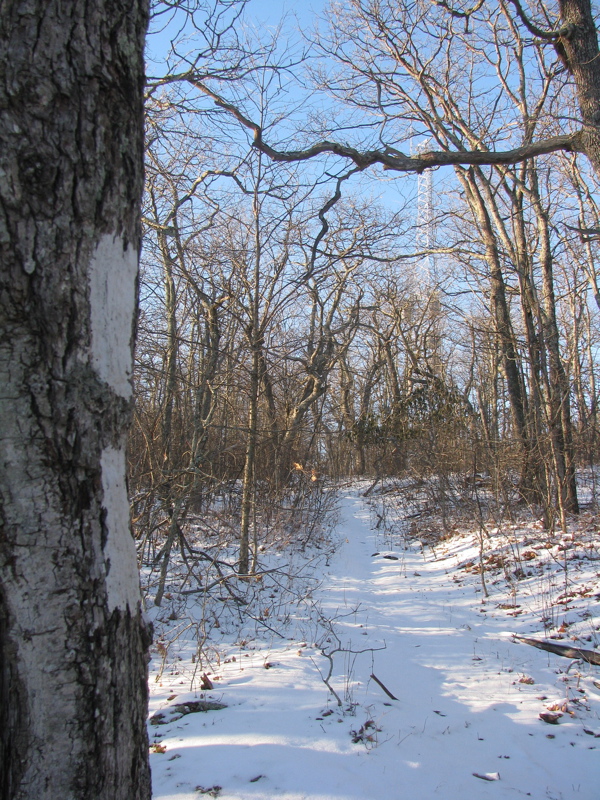
mm 14.5 Communication tower on Sugar Run Mountain. Here AT picks up the old road grade shown and follows it for 2 miles trail-south.
Submitted by pjwetzel @ gmail.com

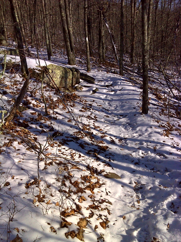
mm 15.5 The trail south end of the old road that the AT follows for 2 miles. Here the road simply ends and the southbound trail continues as a footpath.
Submitted by pjwetzel @ gmail.com
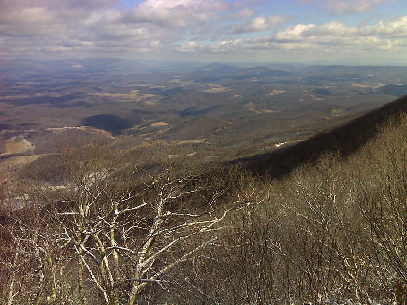
Pearis Mtn and Wilburn Valley from Sugar Run Mtn.
Submitted by atbits @ hotmail.com
mm 16.7 Another view towards Pearis Mountain from near the
summit of Sugar Run Mountain. Unfortunately it was not as nice a day as the
one when the previous picture was taken.
Submitted by dlcul @ conncoll.edu
mm 16.7 View to the northeast
Submitted by dlcul @ conncoll.edu

mm 16.7 Winter (January 2012) view from Sugar Run Mountain
Submitted by pjwetzel @ gmail.com
Approaching the highest point of the trail on Sugar Run Mt.
Taken about mm 17.6
Submitted by dlcul @ conncoll.edu