VA Section 34 Pictures - Milemarker 18.7 - 21.1
Upper Branch Dismal Creek - Bridge
Move your mouse across the pictures for more information.
mm 18.7 Crossing of an upper branch of Dismal Creek. While the crossing was inconsequential in May 2009 when this picture was taken, it can be tricky at times of high water.
Submitted by dlcul @ conncoll.edu

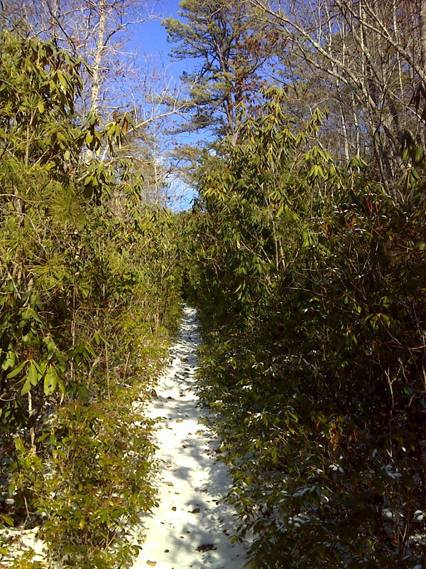
Rhododendron Boulevard in Upper Dismal Creek Valley. GPS N37.2270 W80.8174
Submitted by pjwetzel @ gmail.com
mm 19.3 Junction with trail to Wapiti Shelter.
Submitted by dlcul @ conncoll.edu
mm 19.3 Wapiti Shelter.
Submitted by dlcul @ conncoll.edu
Sugar Run Mtn from Wapiti Shelter.
Submitted by atbits @ hotmail.com
mm 19.5 Campsite near levee along side of former pond
Submitted by dlcul @ conncoll.edu
Small field, possibly an old home site. Shortly beyond this
the northbound trail joins a woods road. Taken at approx. mm 17.8
Submitted by dlcul @ conncoll.edu
Bridge at approx. mm 21.1
Submitted by dlcul @ conncoll.edu