VA Section 35 Pictures - Milemarker 1.0 - 4.1
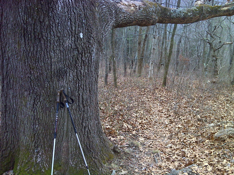
Old Oak - Powerline
Move your mouse across the pictures for more information.

Venerable old oak a mile south of Kimberling Creek. GPS N37.1688 W80.9060
Submitted by pjwetzel @ gmail.com
mm 2.0 The southbound trail reaches the crest of Brushy Mt. It follows the ridge for 2 miles.
Submitted by dlcul @ conncoll.edu
Campsite at approx. mm 3.0.
Submitted by dlcul @ conncoll.edu

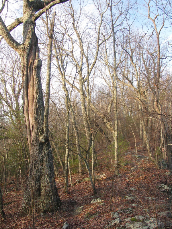
Old oak with lightning injury perseveres, High point of Brushy Mountain between Lickskillet Hollow and Kimberling Creek. GPS N37.1578 W80.9393
Submitted by pjwetzel @ gmail.com
View to the south from approx. mm 3.5.
Submitted by dlcul @ conncoll.edu
Wildflower at approx. mm 3.7. I have looked through wildflower books and I think it is a wood aneome, but I could very easily be mistaken.
Submitted by dlcul @ conncoll.edu
mm 4.0 The southbound trail leaves the crest of Brushy Mountain and begins the descent towards VA 608.
Submitted by dlcul @ conncoll.edu
View to the north from power line right-of-way at approx mm 4.1.
Submitted by dlcul @ conncoll.edu