VA Section 36 Pictures - Milemarker 7.3 - 10.8
One Old road - Another Old Road
Move your mouse across the pictures for more information.
View along trail at approx mm 7.3. The trail follows old roads for quite a distance in this section.
Submitted by dlcul @ conncoll.edu
mm 8.9 Looking west (trail south). The trail turns left from one old road to another near the tree in the center of the picture.
Submitted by dlcul @ conncoll.edu
mm 8.9 Looking trail north. The trail turns right from one old road to another near the tree in the center of the picture.
Submitted by dlcul @ conncoll.edu
After the turn at mm 8.9, the trail follows this old road for at least half a mile. Taken at approx. mm 9.1.
Submitted by dlcul @ conncoll.edu
Fall color at approx. mm 9.8.
Submitted by dlcul @ conncoll.edu
View to the north at approx. mm 10.0.
Submitted by dlcul @ conncoll.edu
View to the east at approx. mm 10.0. The ridge in the picture is apparently all part of Brushy Mt. The AT follows it for most of the way between VA 608 and VA 612.
Submitted by dlcul @ conncoll.edu

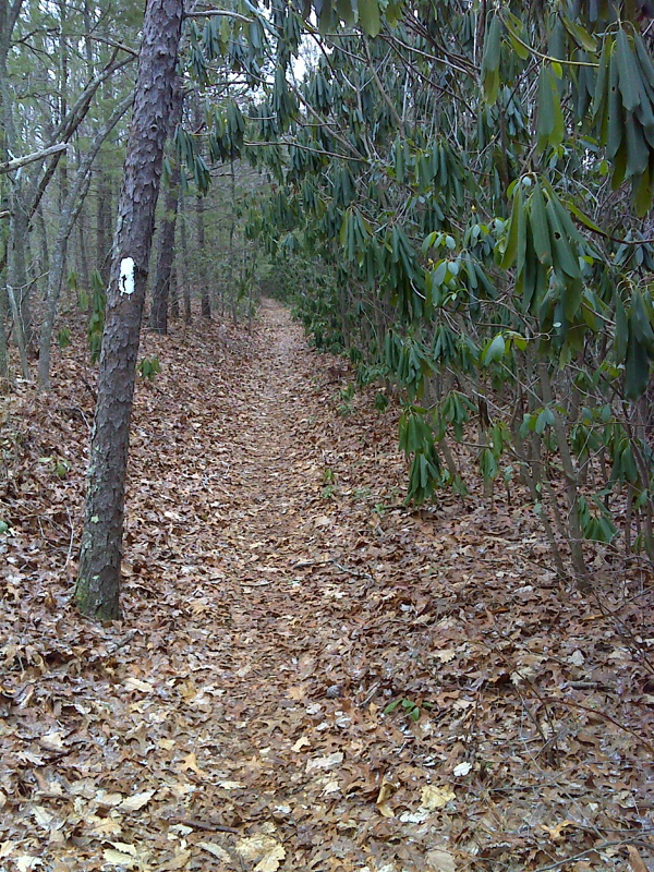
A rhododendron lined old woods road, part of the AT route along the ridge of Brushy Mountain.GPS N37.1359 W80.0836
Submitted by pjwetzel @ gmail.com