VA Section 37 Pictures - Milemarker 2.9 - 4.9
Campsite - Trail Boss Trail
Move your mouse across the pictures for more information.
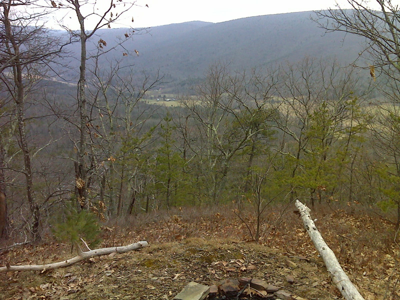
Campsite with a view. Taken at approx. mm 2.9
Submitted by dlcul @ conncoll.edu

Winter View (January 2012) of Hunting Camp Creek Valley from primitive camp site along the Appalachian Trail. GPS N31.1755 W81.1679
Submitted by pjwetzel @ gmail.com

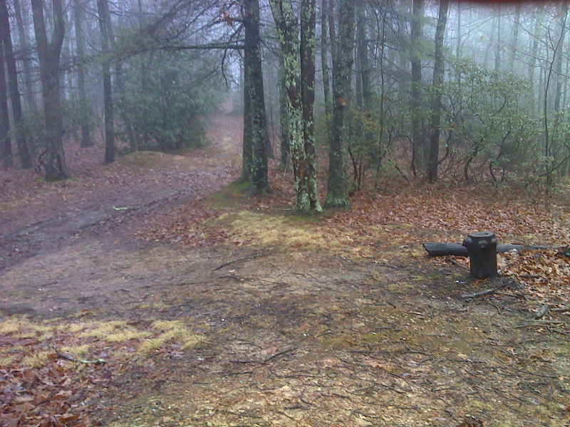
Intersection of unmarked trail to USFS 282 parking and camping area (right fork) with the AT (left). Taken at approx. mm 3.0. GPS N37.1126 W81.1857
Submitted by pjwetzel @ gmail.com

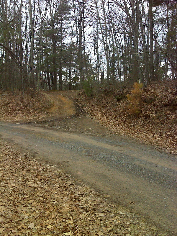
Trailhead/campsite off Wyrick Trail (FS 282). Woods road beyond dirt mounds (left) leads 0.1 mile to AT. Short trail leads to the right, behind logs, directly to the AT just 200 feet away. GPS N37.1135 W81.1844
Submitted by pjwetzel @ gmail.com

Small turn-out parking and camping area on ridge, view from USFS 282 Wyrick Trail. AT access by unmarked trails. GPS N37.1137 W 81.1839
Submitted by pjwetzel @ gmail.com
View back along ridge. Taken at approx. mm 4.5
Submitted by dlcul @ conncoll.edu
View at approx. mm 4.6
Submitted by dlcul @ conncoll.edu
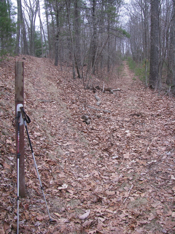
mm 4.9 Junction with the Trail Boss Trail, a now blue-blazed
route that was once the AT. The southbound AT follows an old road to this
point, then goes left on a footpath. The Trail Boss Trail continues
straight ahead initially on the old road. In 2 miles it reaches VA 615
about a hundred yards north of where the southbound AT meets that road.
Submitted by dlcul @ conncoll.edu