VA Section 37 Pictures - Milemarker 6.9 - 7.9
VA 615 - High Water Traail
Move your mouse across the pictures for more information.
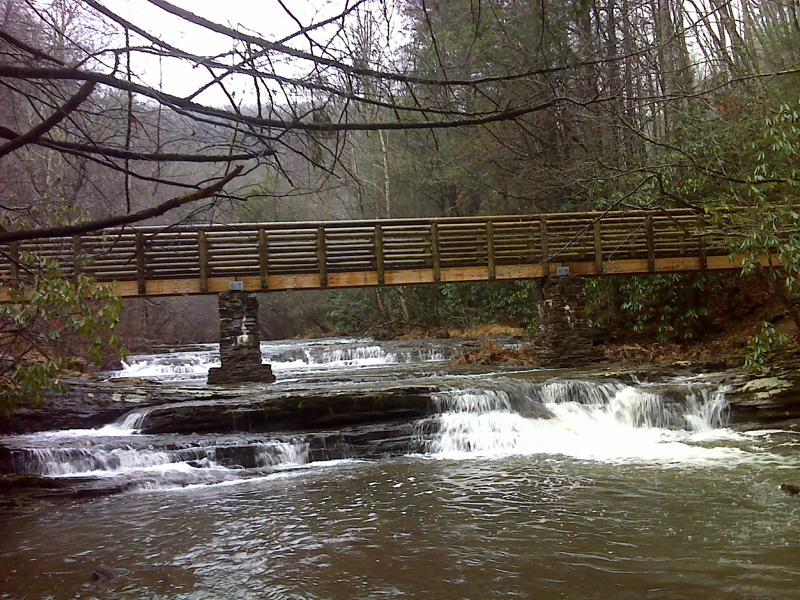
mm 6.9 Southbound from VA 615, AT crosses Laurel Creek on this new footbridge, which also presents excellent views of rapids and small waterfalls.
Submitted by pjwetzel @ gmail.com
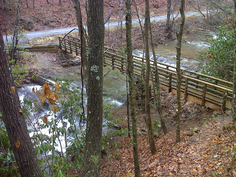
mm 6.9 View of Laurel Creek footbridge and VA 615 from above
Submitted by pjwetzel @ gmail.com
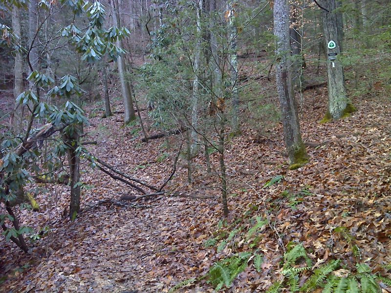
mm 6.9 Blocked, and apparently abandoned Low Water Trail goes straight, newly relocated AT turns right - just south/west of Laurel Creek
Submitted by pjwetzel @ gmail.com
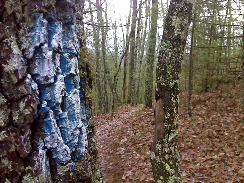
Hybrid blaze on new relocation of AT - blue blaze over-brushed with white. GPS N 37.1655 W81.2055
Submitted by pjwetzel @ gmail.com
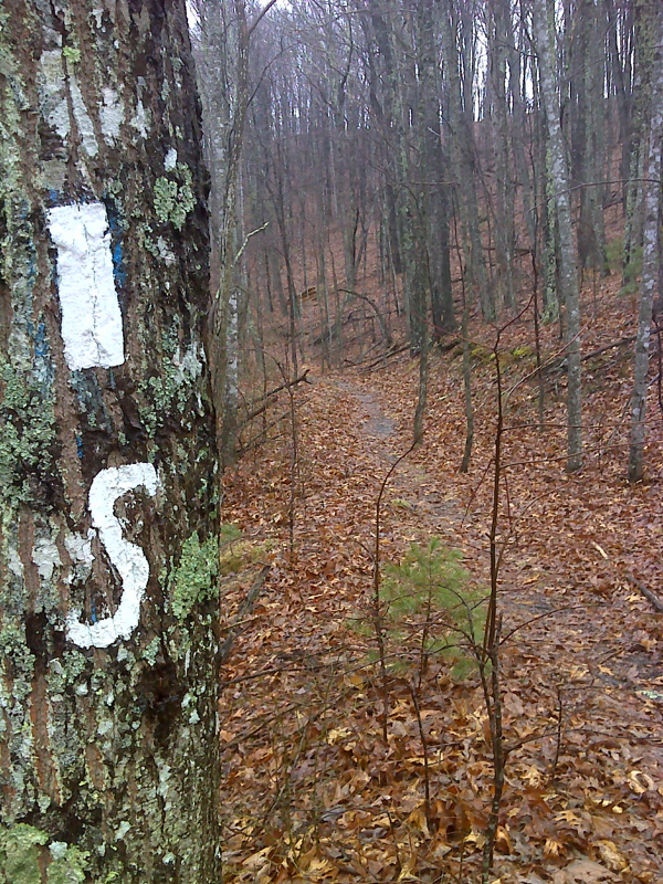
Unusual marking of AT - recent relocation - this at a trail intersection where the AT soutnbound begins to follow an old woods road. It is here that the southbound trail joins the old High Water Route. The road in the opposite direction is now blazed blue and leads to the High Water Trail trailhead. GPS N37.1064 W87.2095
Submitted by pjwetzel @ gmail.com
The next four pictures were taken in 2009 when the AT followed what is called the High Water Trail. The current AT still utilizes all but the most northern (compass east) part. The remainder is now blue-blazed and is called the High Water Trail. It meets VA 615 0.6 miles north of the current AT crossing. Captions have been changed to reflect the current situation.
mm 7.9 Parking near the trailhead for what is once again the blue-blazed High Water trail. For a time this was the route of the AT itself.
Submitted by dlcul @ conncoll.edu
mm 7.9 Additional parking at the High Water trailhead on VA 615.
Submitted by dlcul @ conncoll.edu
mm 7.9 Steps at the trailhead for the High Water Trail at VA 615.
Submitted by dlcul @ conncoll.edu
The now blue-blazed High Water Trail, formerly a route of the AT, follows an old road. The southern part of the old road is now part of the new route.
Submitted by dlcul @ conncoll.edu