VA Section 38 Pictures - 4.3 - 6.2
North of Walker Gap - Chestnut Knob
Move your mouse across the pictures for more information.
In May 2011 there was a new route for the future AT near Walker Gap, the north end at mm 4.3 and the southern end just before the trail reached the road in Walker Gap. It was freshly blazed with parallel white and blue blazes, the latter leading to a good water source. USFS approval of this new route was pending. Apparently this was not forthcoming as in January 2012, the northern part of this reroute was blazed orange with only blue blazes at the southern end. The next three pictures were taken on this relocation. It is a nice stretch of trail avoiding a climb up and over a knob.
The new route of the AT (See next picture) passes several piles of stones piled up by early farmers trying to cultivate the land. Taken at approx. mm 4.5.
Submitted by dlcul @ conncoll.edu
Sign for Walker Gap at intersection with a trail to a water source. Taken at approx. mm 4.7. There are apparently currently (2011) two routes just north of the parking in Walker Gap. The older trail goes over a knoll then descends to the parking. The new route which is (or will be) the official AT route goes around the knob. It has unusual markings of parallel blue and white blazes. This is the route I took.
Submitted by dlcul @ conncoll.edu
Open area on the new route of the AT near the trail to the water source. Taken at approx. mm 4.7
Submitted by dlcul @ conncoll.edu
mm 4.9 The southbound trail as it leaves the old road in Walker Gap and begins the climb to Chestnut Knob.
Submitted by dlcul @ conncoll.edu

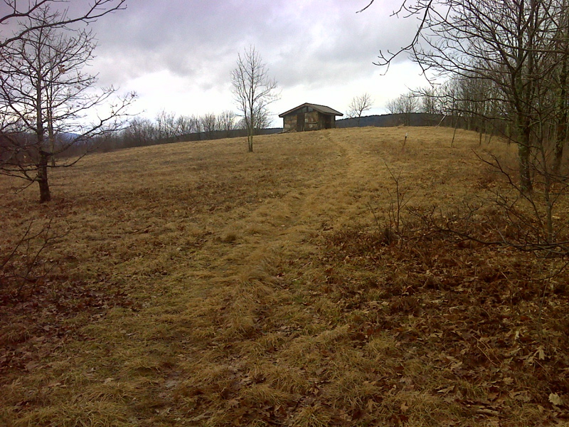
mm 6.2 Chestnut Knob Shelter as seen from where AT southbound emerges from woods after 900 foot climb from Walker Gap
Submitted by pjwetzel @ gmail.com

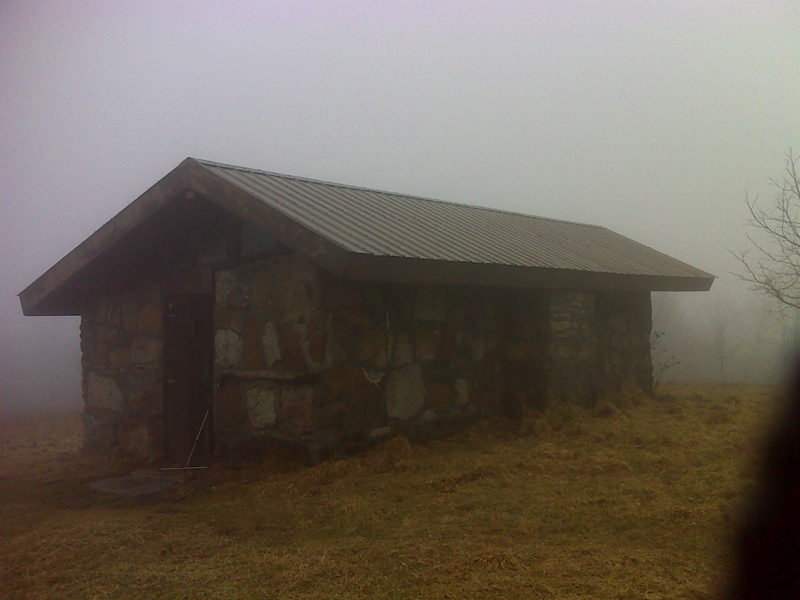
mm 6.2 Chestnut Knob Shelter in the clouds
Submitted by pjwetzel @ gmail.com

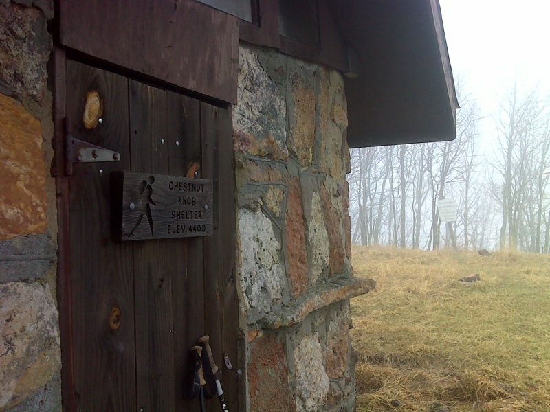
mm 6.2 Front Door of Chestnut Knob Shelter
Submitted by pjwetzel @ gmail.com
mm 6.2 Burkes Garden from Chestnut Knob.
Submitted by atbits @ hotmail.com