VA Section 38 Pictures - Milemarker 16.5 - 17.3
South Knob of Brushy Mt. - VA 42
Move your mouse across the pictures for more information.

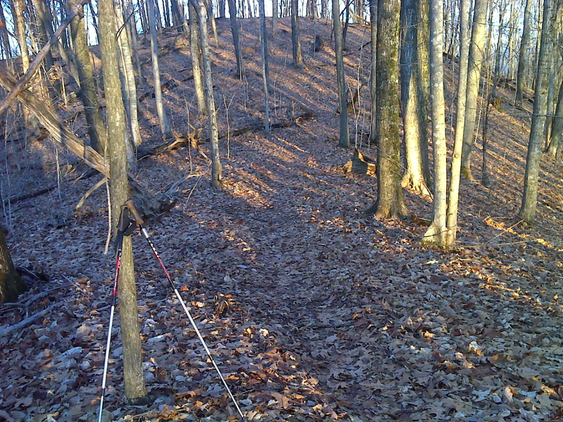
mm 16.5 South Knob on the AT traverse of this portion of Brushy Mountain. From here the southbound trail descends to VA 42. GPS N36.9971 W81.4029
Submitted by pjwetzel @ gmail.com

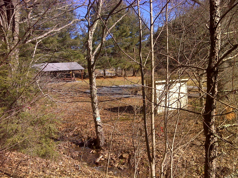
mm 17.3 View of O'Lystery picnic area from the AT. Behind fence in the background is the USFS parking lot. This picnic area is private and should not be used by hikers.
Submitted by pjwetzel @ gmail.com

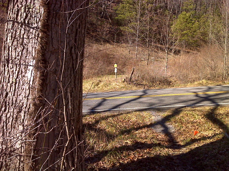
mm 17.3 AT crossing of VA 42.
Submitted by pjwetzel @ gmail.com