VA Section 39 Pictures - Milemarker 0.0 - 1.0
VA 42 - VA 742
Move your mouse across the pictures for more information.

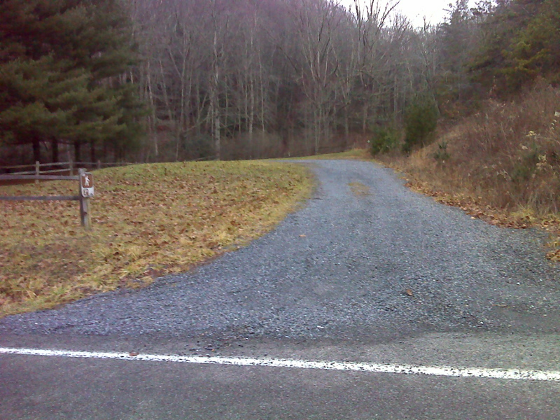
mm 0.0 Parking area on VA 42. The AT is a few hundred feet further east on the other side of the O'Lystery Picnic Area
Submitted by pjwetzel @ gmail.com

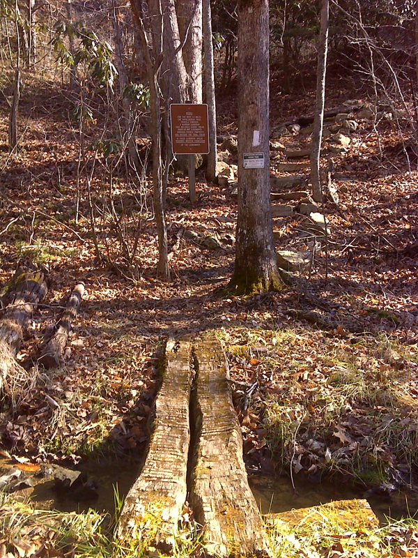
mm 0.0 Footbridge over Possum Jaw Creek immediately south of VA 42 with sign indicating narrow AT corridor on private land easements
Submitted by pjwetzel @ gmail.com
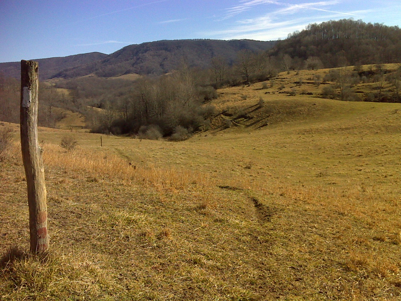
View from pasture just south of VA 42. Taken at approx. MM 0.3.
Submitted by dlcul @ conncoll.edu

Meadow walk between VA 42 and VA 742, Walker Mountain behind. This was taken at approximately the same place as the previous picture on a much clearer day (January 2012). GPS: N36.9808, W81.4056 Submitted by pjwetzel @ gmail.com
View from pasture just south of VA 42.Taken at approx. MM 0.3.
Submitted by dlcul @ conncoll.edu

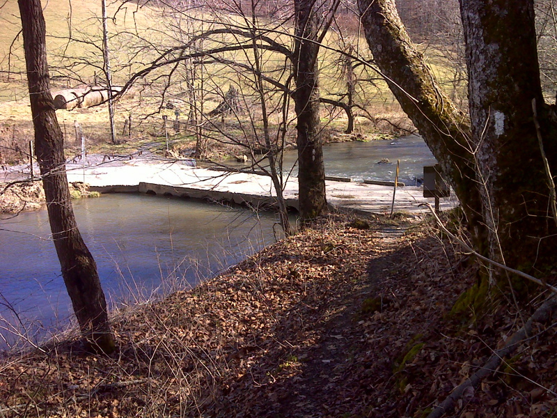
mm 1.0 Crossing of North Branch Holston River via low-water culvert on VA 742
Submitted by pjwetzel @ gmail.com
MM 1.0 Ruins of Tilsons Mill near the trail crossing of VA 742. This was built before the Civil War.
Submitted by dlcul @ conncoll.edu
MM 1.0 North fork of the Holston River taken from the low water bridge at VA 742.
Submitted by dlcul @ conncoll.edu