VA Section 39 Pictures - Milemarker 1.0 - 3.1
North Holston River - Foot of Big Walker Mt.
Move your mouse across the pictures for more information.
MM 1.0 Board walk and flowers (phlox?) along the North Fork of the Holston River just south of VA 742.
Submitted by dlcul @ conncoll.edu
North Fork of the Holston River. Taken at approx. MM 1.2.
Submitted by dlcul @ conncoll.edu
Looking to the southwest as the southbound trail leaves the woods and enters an extensive area of pastures. Taken at approx. MM 2.1.
Submitted by dlcul @ conncoll.edu

mm 2.1 Meadow walk on either side of VA 610 crossing. AT crossing of 610 is near center, small parking area can be seen 300 feet to the left at edge of a small wooded area GPS N36.9647 81.3945
Submitted by pjwetzel @ gmail.com
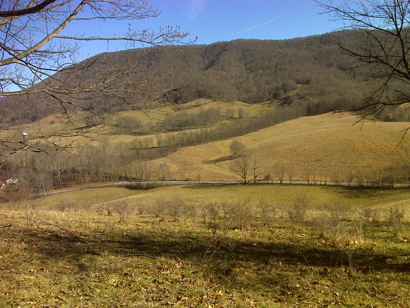
View of Big Walker Mt. from pastures just north of VA 610. Taken at approx. MM 2.2.
Submitted by dlcul @ conncoll.edu

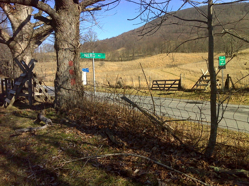
mm 2.4 Stiles at VA 610 crossing. This view is looking southeast towards Walker Mt.
Submitted by pjwetzel @ gmail.com
mm 2.4 - Stile at crossing of VA 610 at the Bland-Smyth County Line. The name of VA 610 changes here from Nebo Road (in Bland County) to Old Rich Valley Road (in Smyth County).
Submitted by dlcul @ conncoll.edu

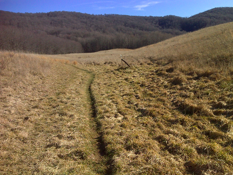
Meadow walk between 610 and Walker Mountain. GPS N39.9641 W81.3897
Submitted by pjwetzel @ gmail.com

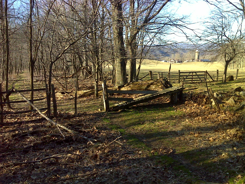
Different kind of stile, just about where the AT leaves meadow walk and enters woods, begins to climb steeply up Walker Mountain. GPS: N36.9621 W81.3859
Submitted by pjwetzel @ gmail.com