VA Section 4 Pictures - Milemarker 0.0 - 2.8
Ashby Gap (US 50) - Sky Meadows State Park
Move your mouse across the pictures for more information.
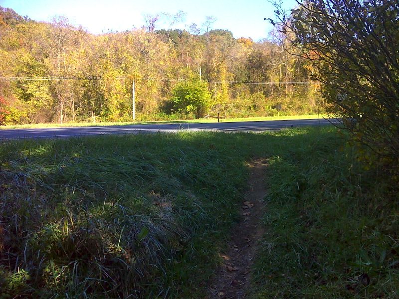
mm 0.0 Crossing of US 50 in Ashby Gap. GPS N39.0168 W77.9652
Submitted by pjwetzel @ gmail.com
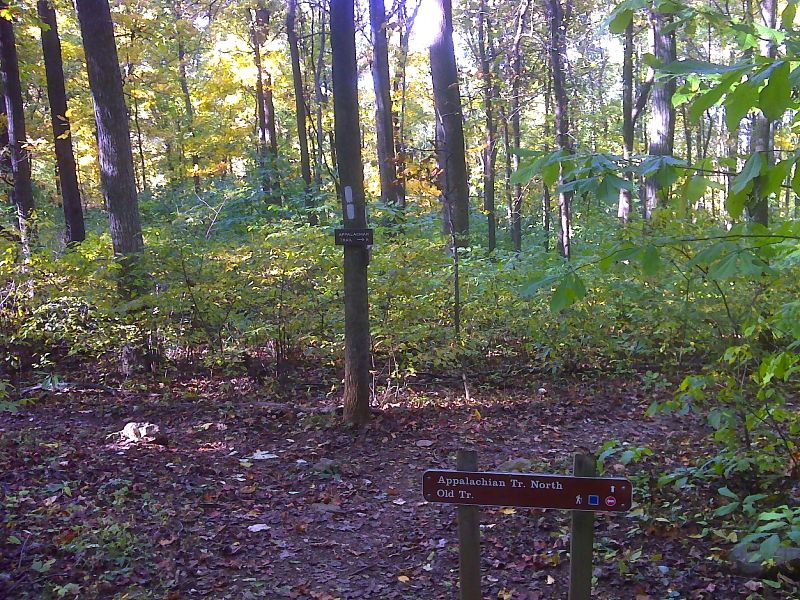
mm 1.1 North Junction with old route route of the AT, now just called the Old Trail. GPS N39.0099 W77.9772
Submitted by pjwetzel @ gmail.com
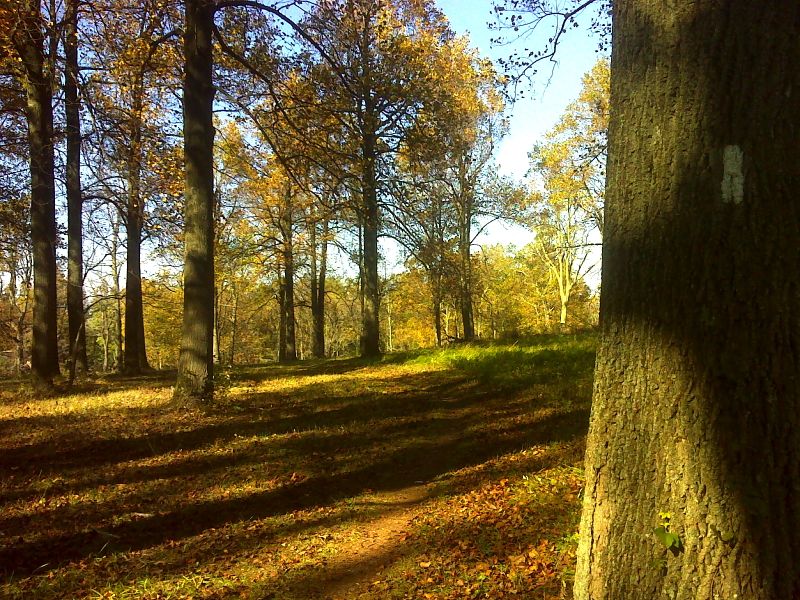
Open mowed woodland as the trail passes through what was the Ovoka Farm. GPS N39.0050 W77.9796
Submitted by pjwetzel @ gmail.com
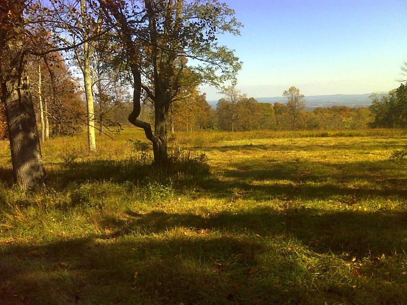
Meadow view as the trail passes what was the Ovoka Farm. GPS N39.0021 W77.9817
Submitted by pjwetzel @ gmail.com
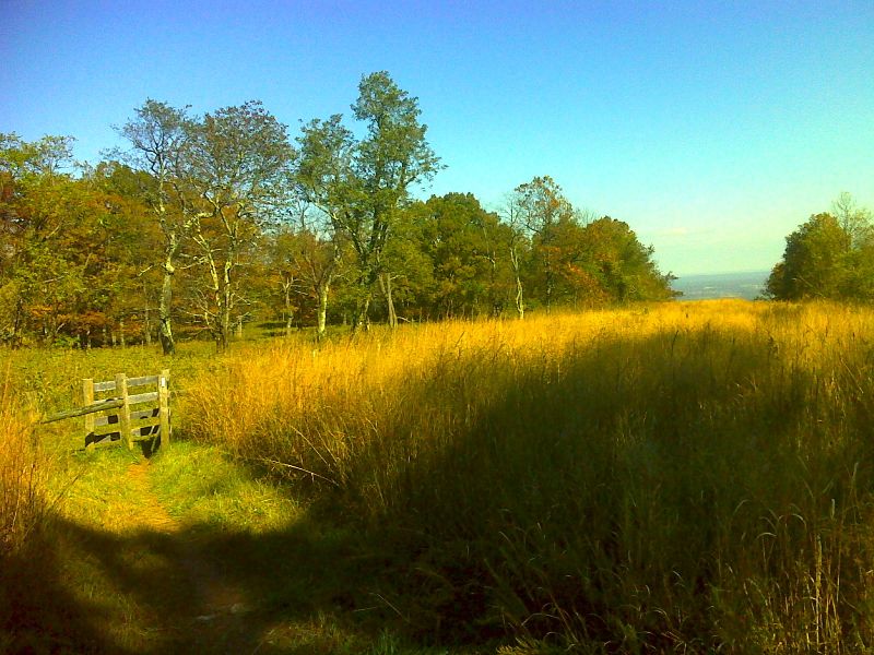
mm 2.5 View from pipeline clearing. GPS N38.9972 W77.9894
Submitted by pjwetzel @ gmail.com
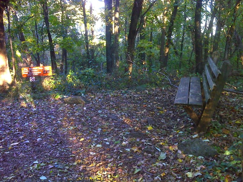
mm 2.6 Bench at junction with trail to Visitor Center in Sky Meadows State Park GPS N38.9954 W77.9906
Submitted by pjwetzel @ gmail.com
Trail head for Sky Meadow State Park. There is an extensive
trail system in the state park. Two of these trails meet the AT, the North
Ridge Trail at mm 2.6 and the Ambassador Whitehouse Trail at mm 1.8.
Submitted by dlcul @ conncoll.edu
mm 2.8 - Turtle laying egg on edge of Appalachian Trail at south border of Sky Meadows State Park.
Submitted by ideanna656 @ aol.com