VA Section 4 Pictures - Milemarker 2.8 - 6.8
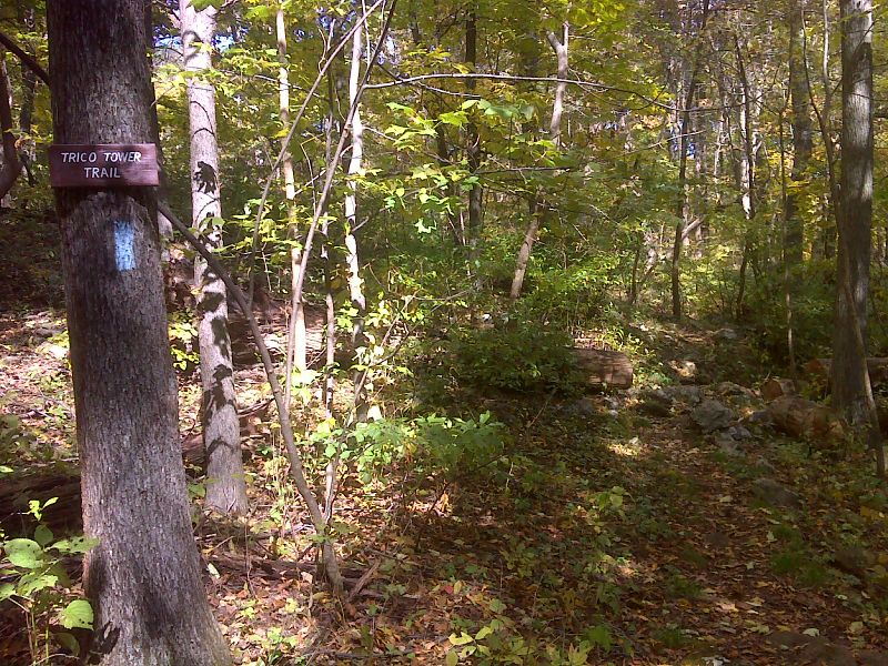
Sky Meadow State Park - Trico Trail to Parking Area 6
Move your mouse across the pictures for more information.

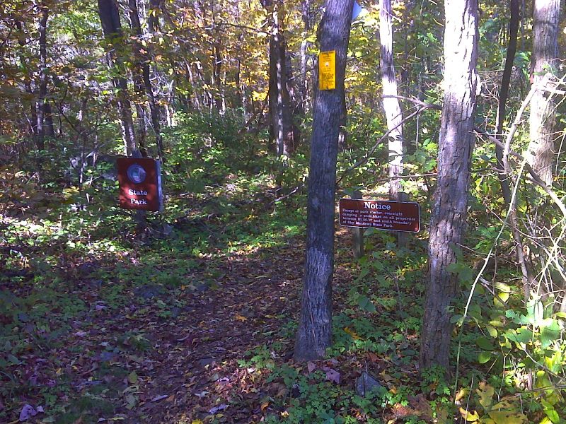
South boundary of Sky Meadows State Park GPS N38.9927 W77.9918
Submitted by pjwetzel @ gmail.com

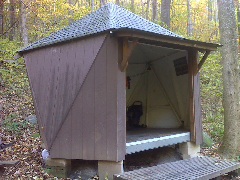
mm 4.9 Dicks Dome Shelter. GPS N38.9695 W77.9972
Submitted by pjwetzel @ gmail.com
G. Richard Thompson State Wildlife Management Area Parking Area 7 - mile 6.3
Submitted by ideanna656 @ aol.com
mm 6.3 Connection to side trail to parking at VA 638
Submitted by at @ rohland.org
Trail between mm 6.3 and 6.8
Submitted by at @ rohland.org
mm 6.8 Trail turns left. Parking area #6 is 0.2 miles to the right.
Submitted by at @ rohland.org

mm 6.8 Side trail to Parking Area 6 near communication towers in Thompson Wildlife Management Area. GPS N38.9509 W78.0263
Submitted by pjwetzel @ gmail.com
mm 6.8 Old road
Submitted by at @ rohland.org