VA Section 40 Pictures - Milemarker 6.3 - 11.5
Glade Mt. - Brushy Mountain
Move your mouse across the pictures for more information.
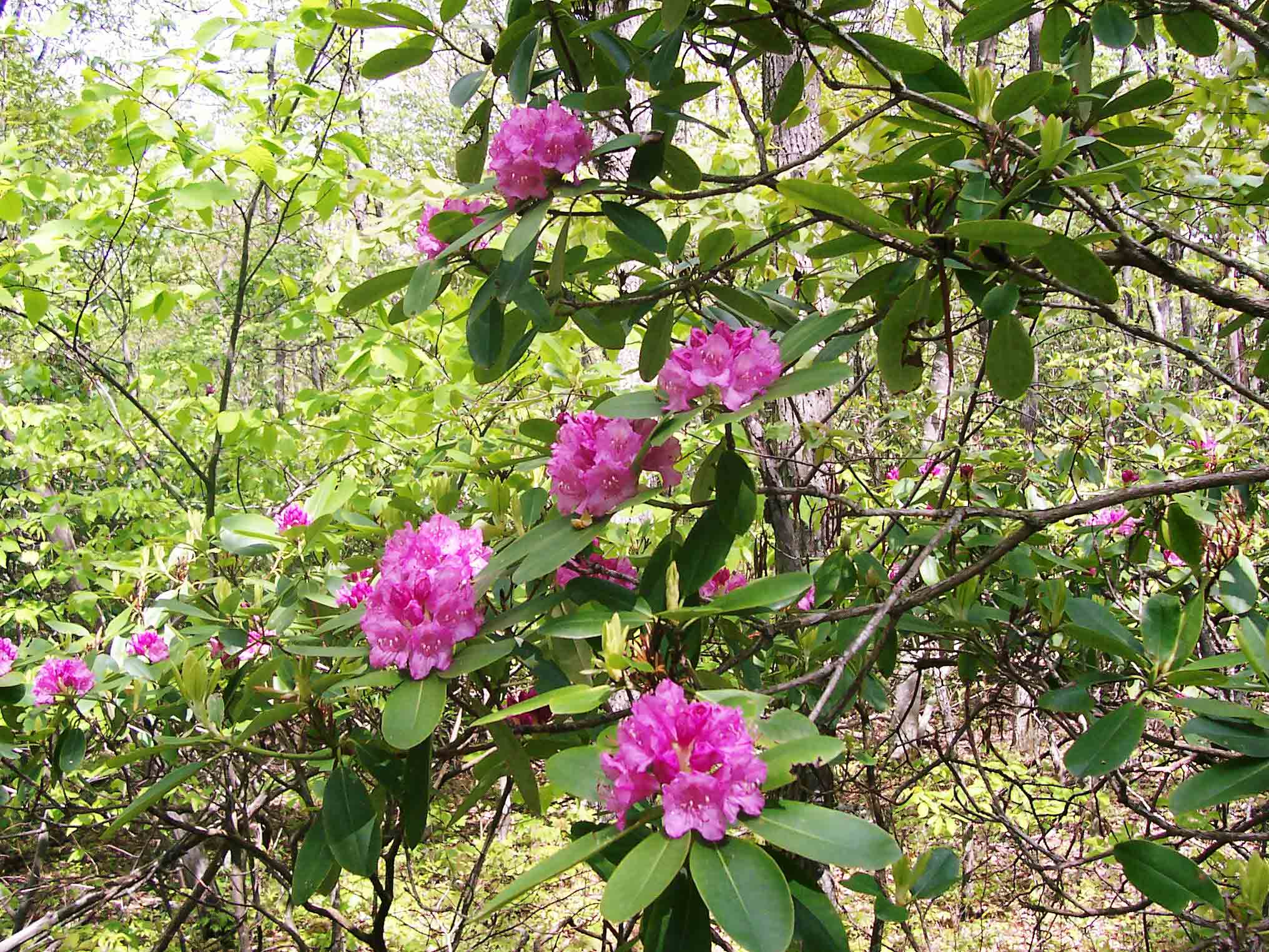
Trailside Rhododendron on Glade Mt.
Submitted by dlcul @ conncoll.edu
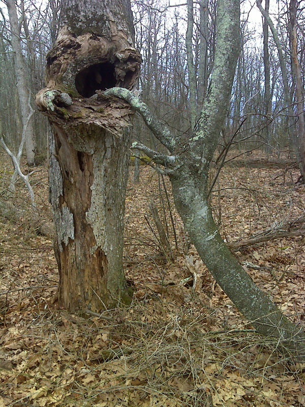
Say ahh, strange tree symbiosis, summit ridge of Glade mountain. GPS N36.8402 W81.3635
Submitted by pjwetzel @ gmail.com
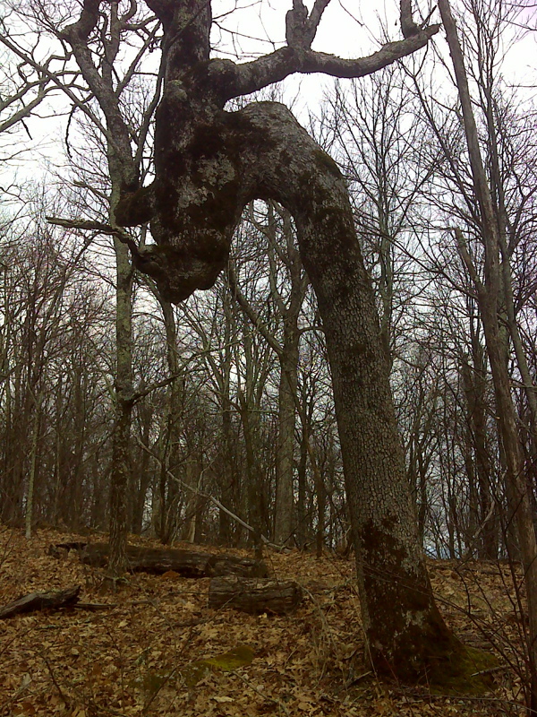
Enchanted forest tree, summit of Glade Mountain. GPS N36.8397 W81.3667
Submitted by pjwetzel @ gmail.com
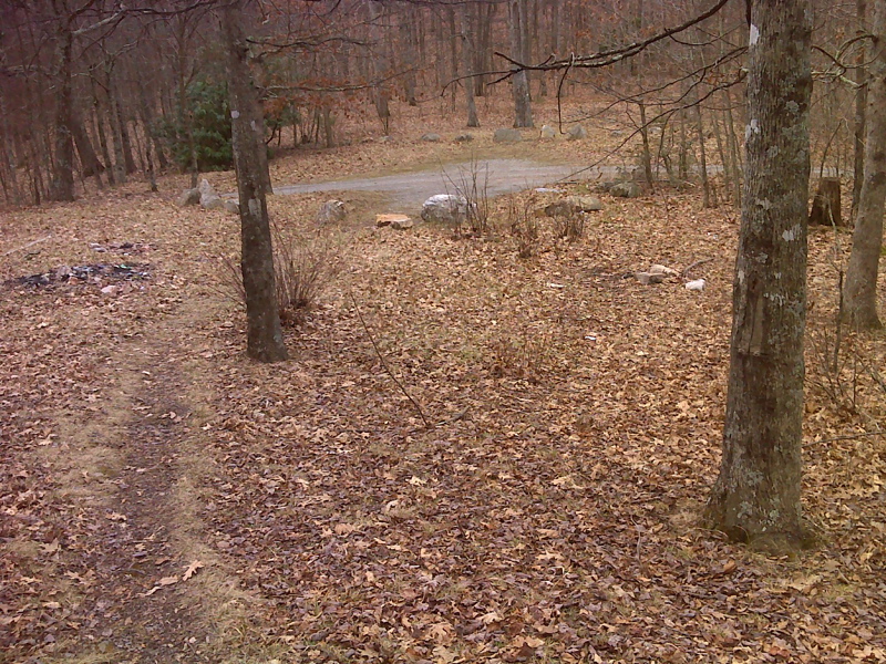
mm 7.4 FR 86 parking area and AT crossing. Reports indicate that road access from the west (Atkins) has been closed by a private landowner.
Submitted by pjwetzel @ gmail.com
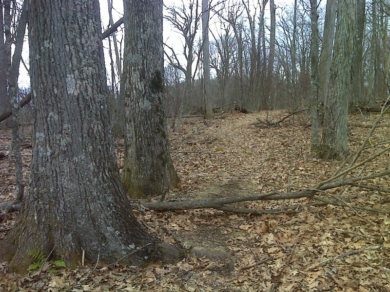
mm 7.8 Two big oaks side-by-side, summit of Locust Mountain.
Submitted by pjwetzel @ gmail.com
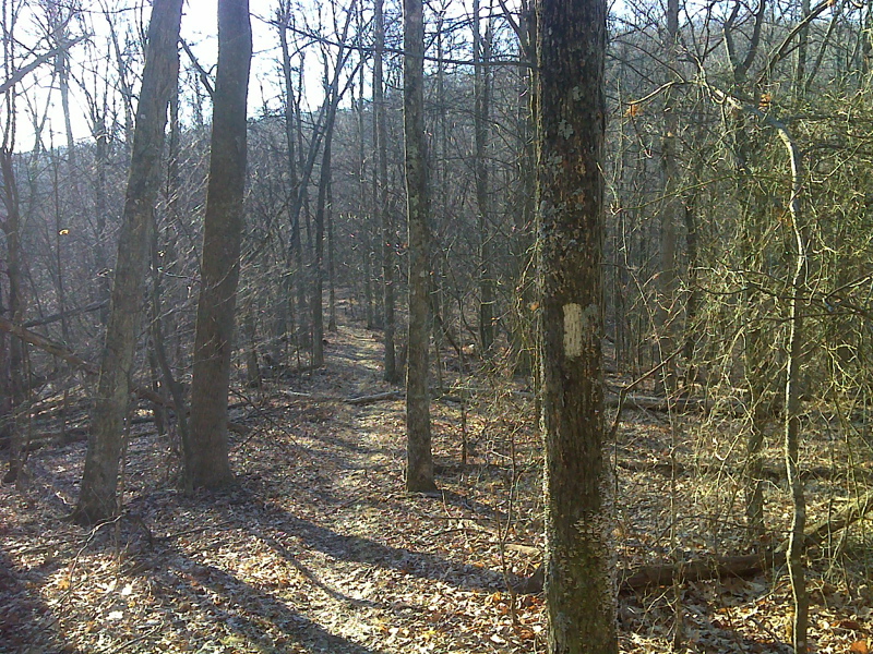
mm 8.2 High saddle, almost like a bridge, between Locust Mountain and Brushy Mountain. GPS N36.8625 W81.3738
Submitted by pjwetzel @ gmail.com
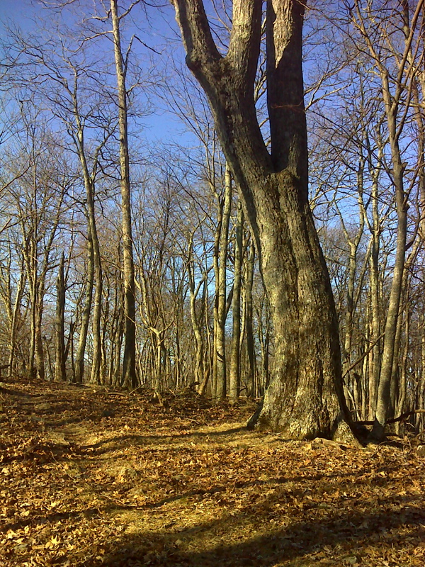
Old oak along Brushy Mountain ridge top. GPS N 36.8202 W 81.3853
Submitted by pjwetzel @ gmail.com
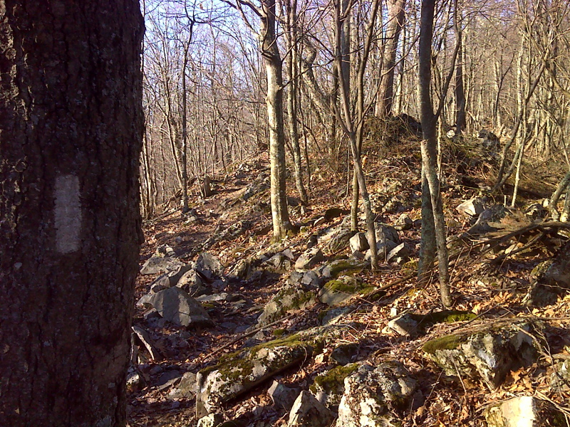
Short rocky section of trail along ridge top, Brushy Mountain. GPS N 36.8202 W 81.387
Submitted by pjwetzel @ gmail.com