VA Section 41 Pictures - Milemarker 0.0 - 4.1
VA 16 - VA 601
Move your mouse across the pictures for more information.
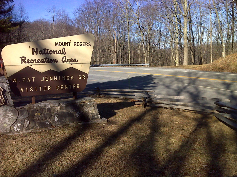
mm 0.0 Shoulder parking area at AT crossing of VA 16 directly across from entrance to Mt. Rogers Visitor Center
Submitted by pjwetzel @ gmail.com
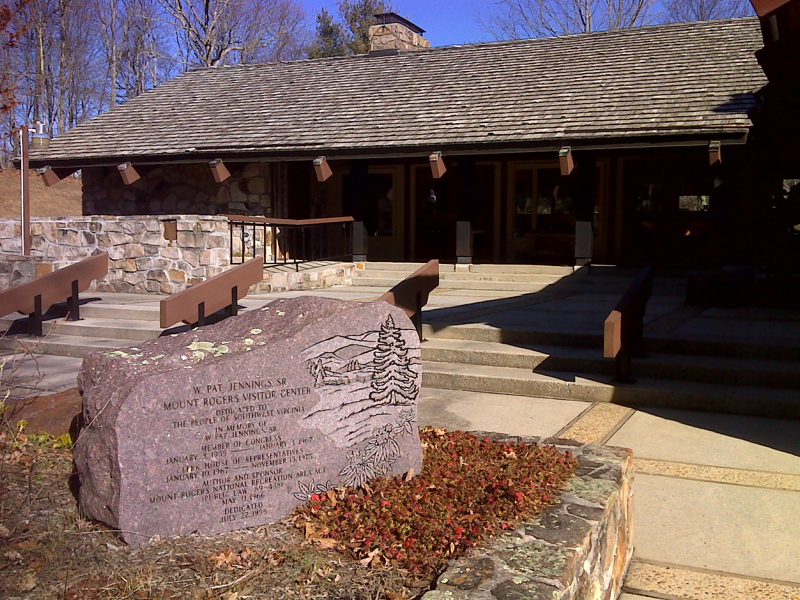
mm 0.0 Mt. Rogers National Recreation Area Visitor Center
Submitted by pjwetzel @ gmail.com
mm 0.1 - Partnership Shelter. A very nice shelter only about 0.1 miles from VA 16 and the Mount Rogers National Recreation Area Headquarters. Water from a piped spigot. Cold shower available. Famous on trail as a shelter where one can order a pizza and have it delivered. Pay phone available at the Headquarters building.
Submitted by dlcul @ conncoll.edu
This area was the scene of extensive manganese mining up through World War II. The trail follows an old mining road for about two miles from MM 0.4 to 2.5. Much of it goes through rhododendron thickets such as seen here.
Submitted by dlcul @ conncoll.edu
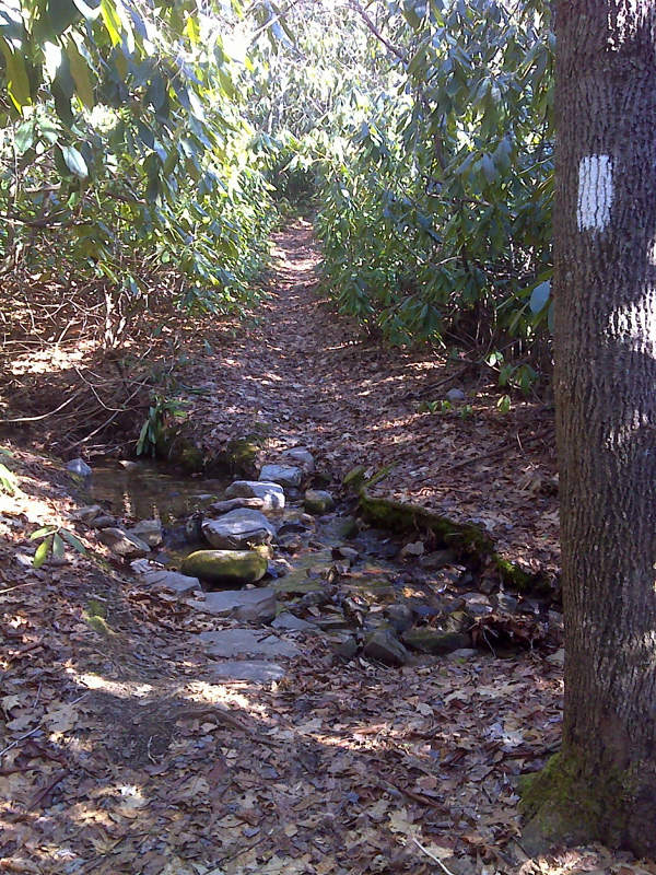
Neatly Placed stepping stones, first stream crossing south of Partnership Shelter. GPS N36.8036 W81.4351
Submitted by pjwetzel @ gmail.com
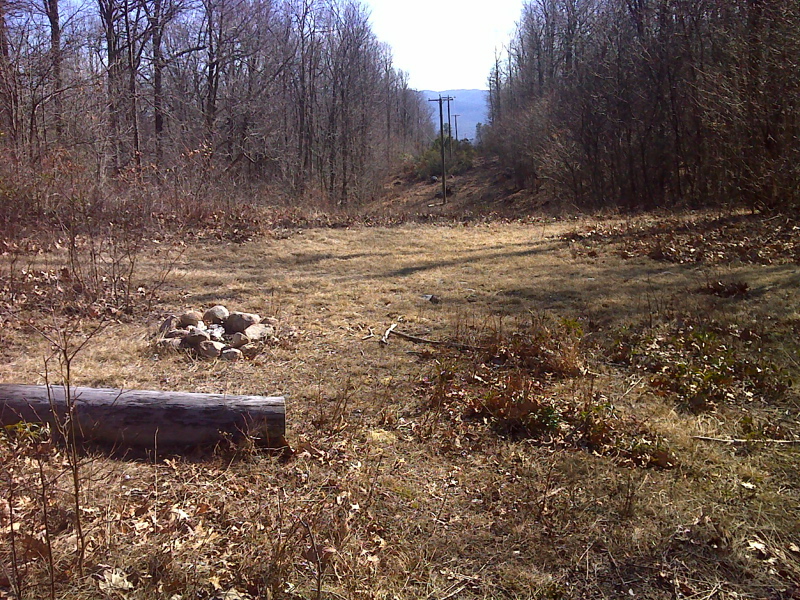
mm 2.5 Limited View east, power line crossing, Brushy Mountain.
Submitted by pjwetzel @ gmail.com
This cluster of vertical rock fragments is at Mile 2.9 of the section, which is at a high point on the crest of Brushy Mt.
Submitted by dlcul @ conncoll.edu
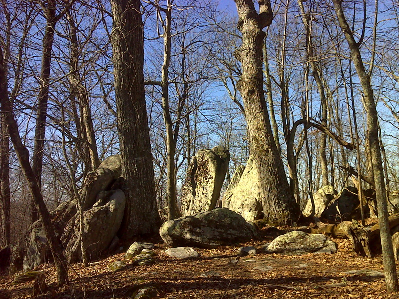
mm 2.9 Winter view of the monoliths and old oaks atop knob along Brushy Mountain, first of half dozen small knobs AT southbound ascends.
Submitted by pjwtzel @ gmail.com
Trail crossing of VA 601 (Mile 4.1). All the parking space available is on the opposite side of the road. This view is looking trail south.
Submitted by dlcul @ conncoll.edu