VA Section 41 Pictures - Milemarker 4.1 - 7.9
VA 601 - S. Fork Holston River
Move your mouse across the pictures for more information.
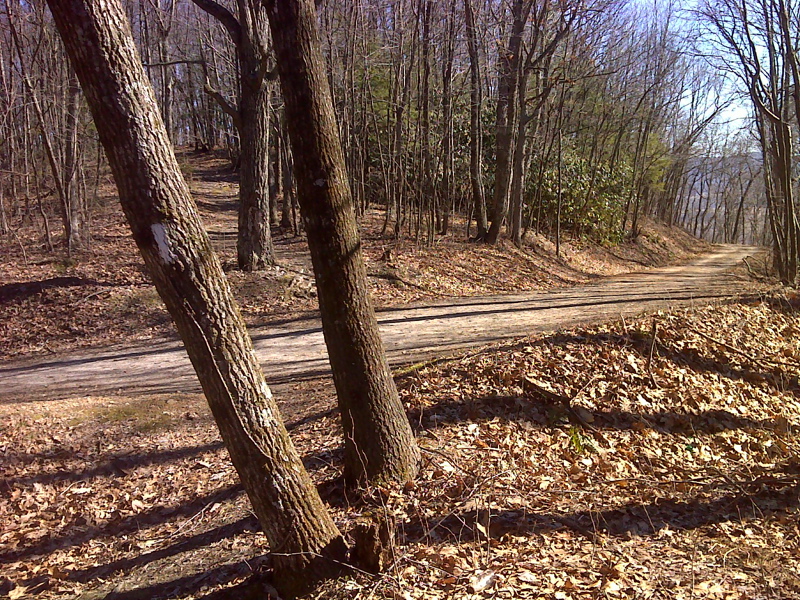
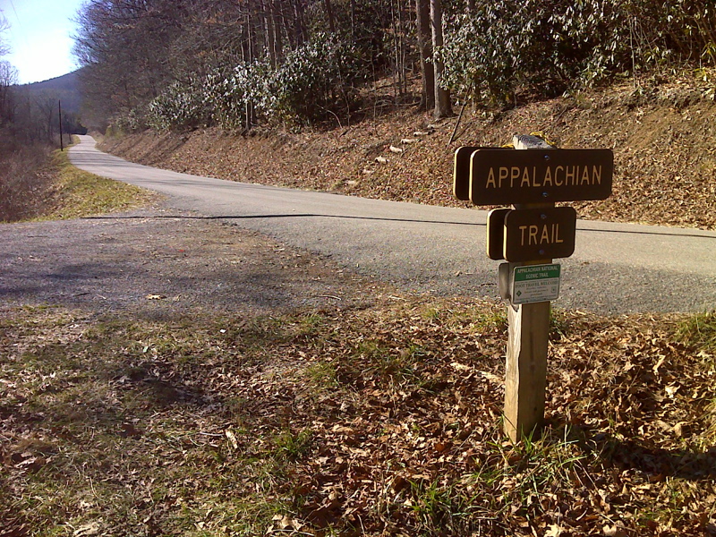
mm 4.1 AT crossing of VA 601 with shoulder parking available, Brushy Mountain ridge This view is looking trail north.
Submitted by pjwetzel @ gmail.com
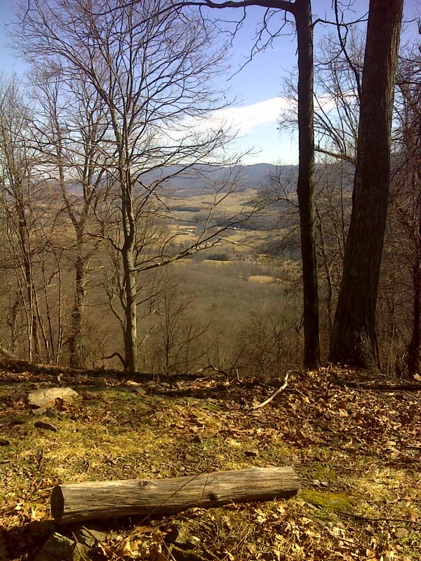
mm 5.5 Trees cleared for limited view of Rye Valley from southernmost knob, Brushy Mountain. GPS N36.7766 W81.4901
Submitted by pjwetzel @ gmail.com
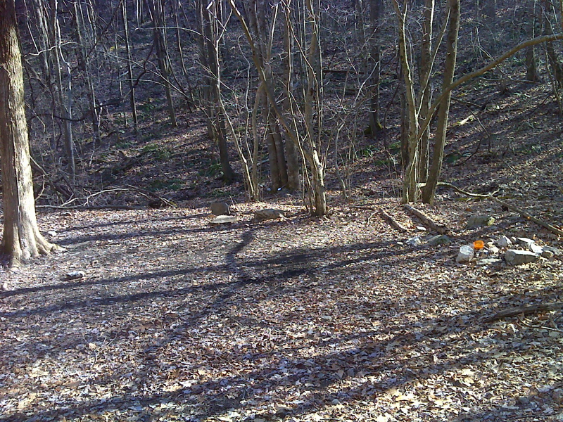
Between the summit of Brushy Mt. and VA 670 there are a number of possible campsites including this one at 2805 feet elevation. seasonal water from small stream behind. This was taken at approx mm 6.9. GPS N36.7724 W81.4889
Submitted by pjwetzel @ gmail.com
Just north of the Holston River, the trail follows an old railroad grade for about half a mile (Mile 7.2-7.7).
Submitted by dlcul @ conncoll.edu
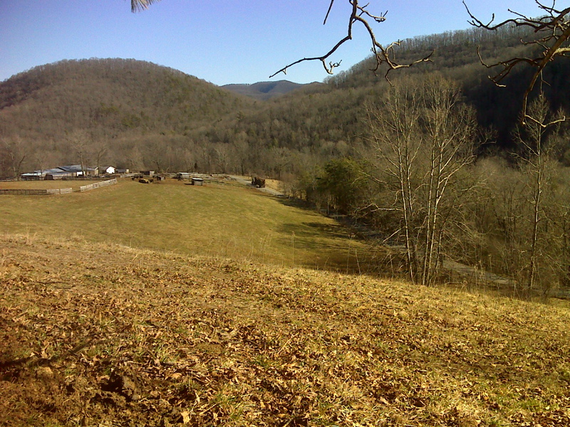
View of VA 670 from fence line a few yards east of AT. GPS N36.7700 W81.4853
Submitted by pjwetzel @ gmail.com
mm 7.9 - Parking area on VA 670. The footbridge across the south fork of the Holston River is in the background.
Submitted by dlcul @ conncoll.edu
mm 7.9. View of the Trail crossing and parking area on Va 670 (Teas Road). The northbound trail goes up the log steps on the right side of the road.
Submitted by pjwetzel @ gmail.com
mm 7.9 - The Holston River foot bridge.
Submitted by dlcul @ conncoll.edu