VA Section 41 Pictures - Milemarker 7.9 - 9.8
S. Fork Holston RIver - Rustic Stile
Move your mouse across the pictures for more information.
mm 7.9 - Crossing the Holston River foot bridge.
Submitted by dlcul @ conncoll.edu
mm 7.9 - South Fork of Holston River from foot bridge.
Submitted by dlcul @ conncoll.edu
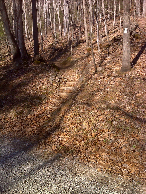
mm 9.2 The northbound AT as it leaves VA 672.
Submitted by pjwetzel @ gmail.com
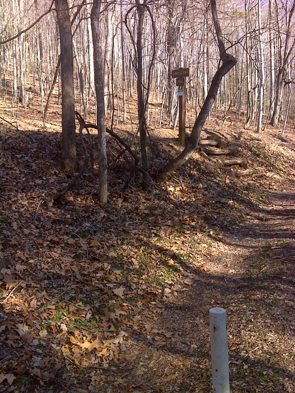
mm 9.2 The northbound AT is following a farm road as it reaches VA 672.
Submitted by pjwetzel @ gmail.com
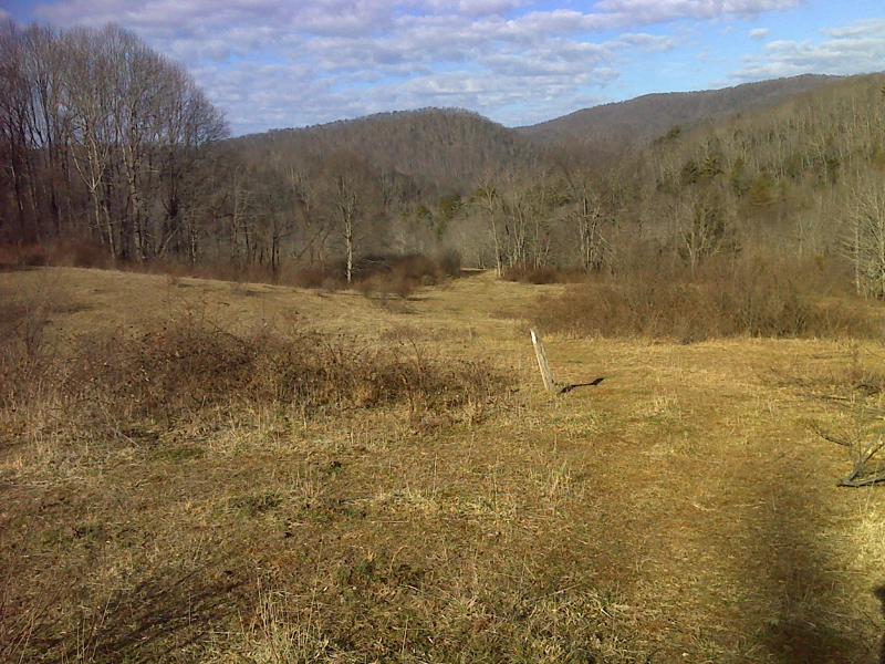
Meadow on AT northbound approaching VA 672. Taken in January 2012. GPS N36.7527 W 81.4906
Submitted by pjwtzel @ gmail.com
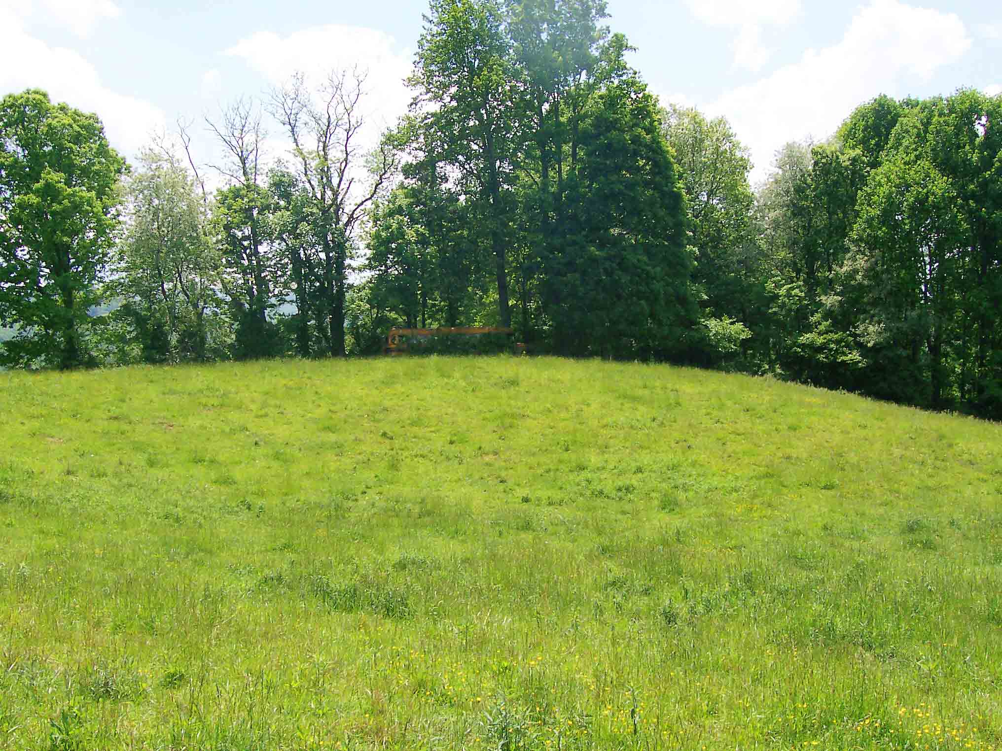
In May 2006 there was this abandoned schoolbus on a hill in the pasture just trail south of VA672. It is apparently gone now.
Submitted by dlcul @ conncoll.edu
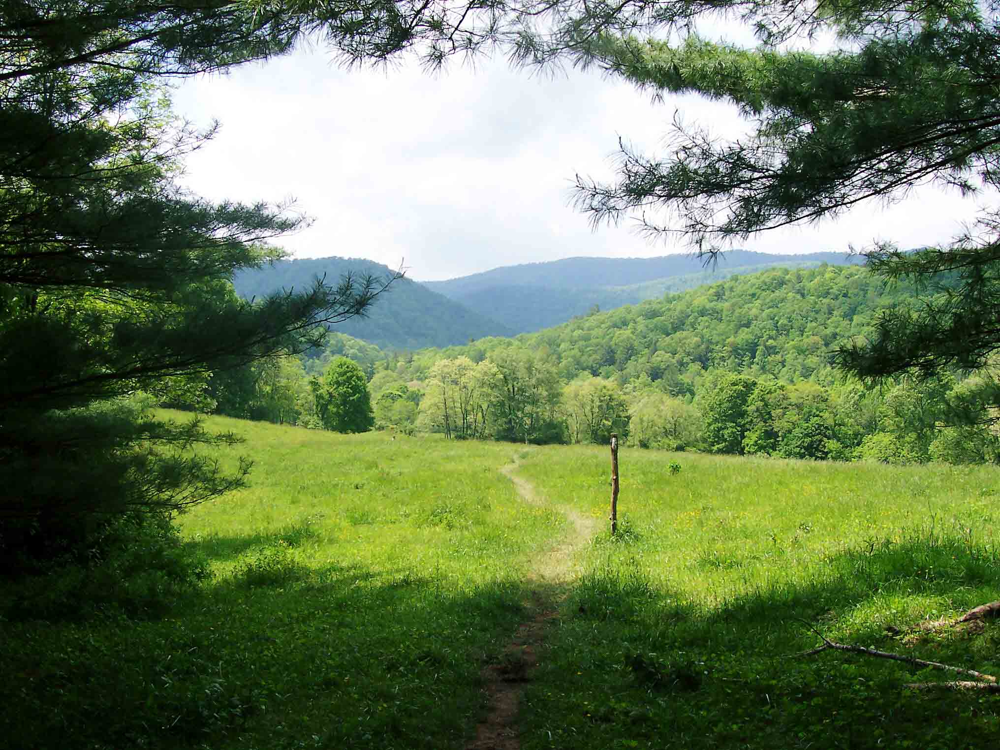
mm 9.7 The northbound AT leaves the woods and starts a traverse of pastures south of VA 672.
Submitted by dlcul @ conncoll.edu
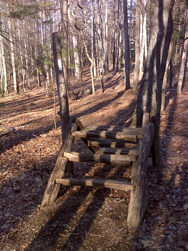
Rustic log stile on AT south of Slabtown Road (VA 672).
Submitted by pjwetzel @ gmail.com