VA Section 41 Pictures - Milemarker 10.7 - 13.2
Trimpi Shelter - Iron Mt. Vista
Move your mouse across the pictures for more information.
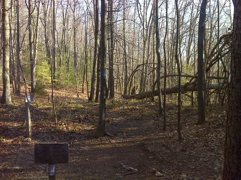
mm 10.7 AT junction with side trail to Trimpi Shelter.
Submitted by pjwetzel @ gmail.com
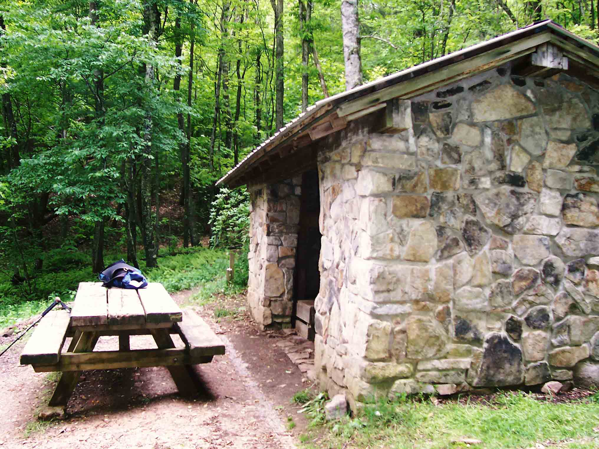
mm 10.7 - Trimpi Shelter.
Submitted by dlcul @ conncoll.edu
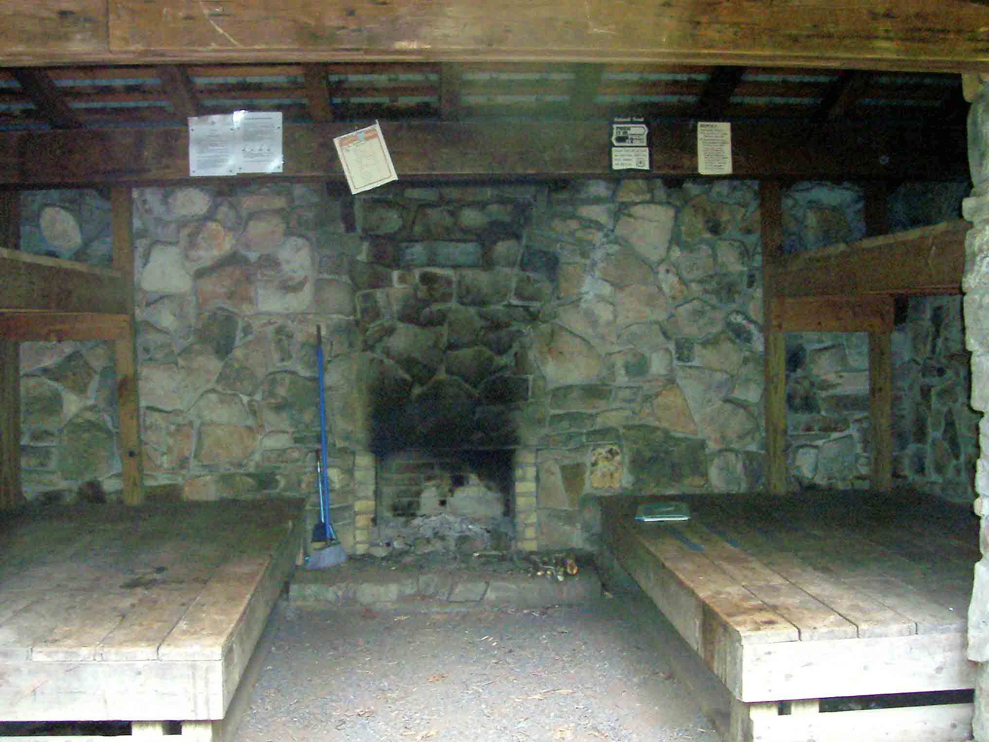
mm 10.7 - Interior Trimpi Shelter.
Submitted by dlcul @ conncoll.edu
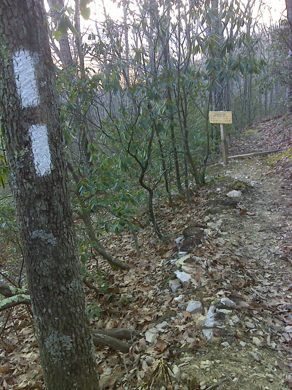
mm 12.3 AT switchback north of High Point where abandoned trail continues straight. GPS N36.7355 W81.4709
Submitted by pjwetzel @ gmail.com
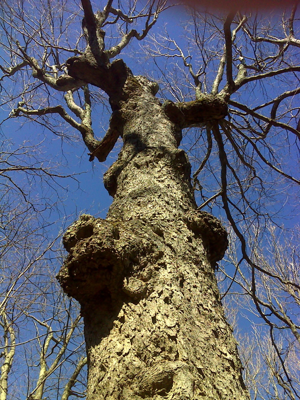
Detail of goblin tree on AT at High Point. GPS N36.733 W81.4745
Submitted by pjwetzel @ gmail.com
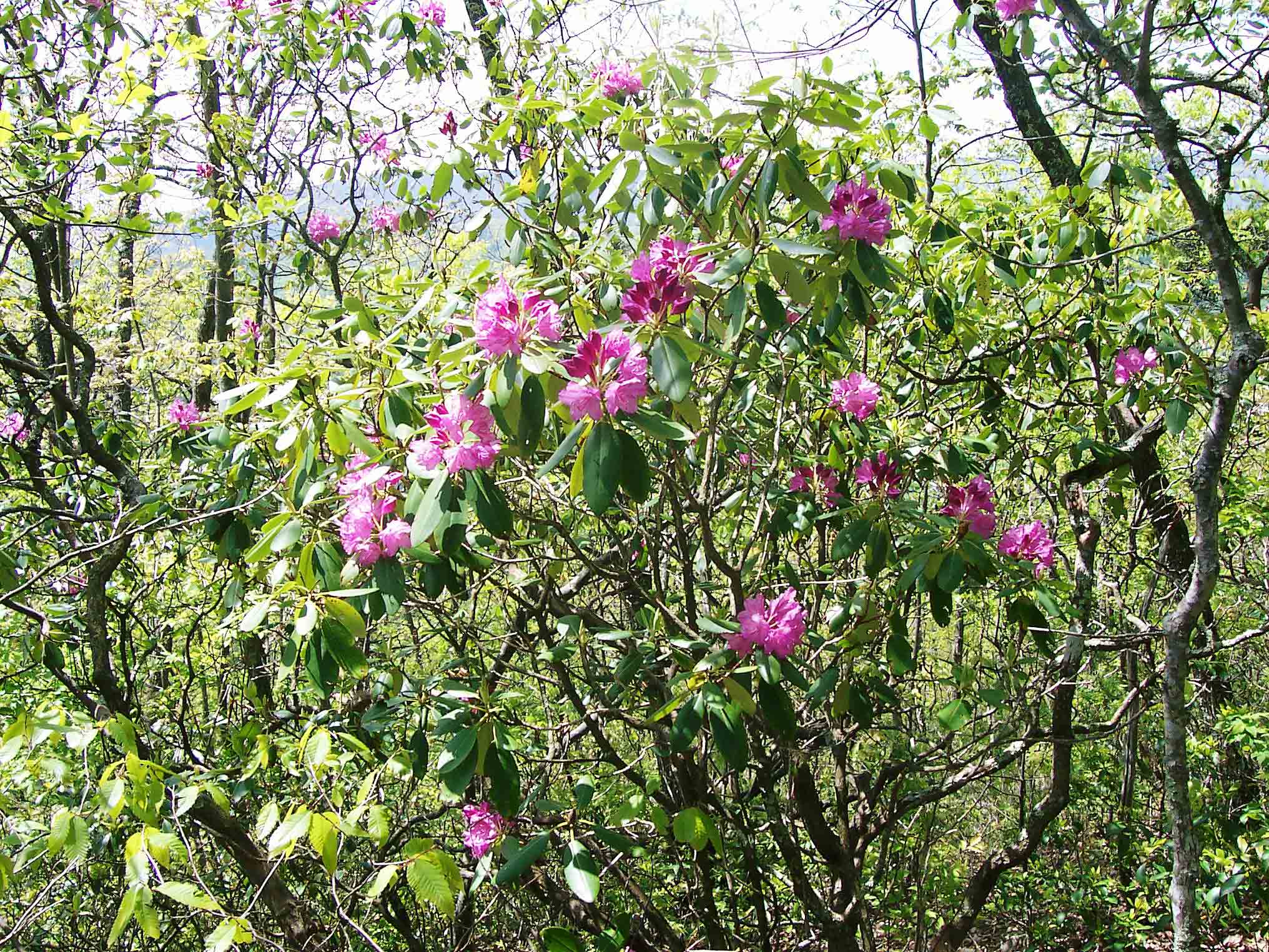
Rhododendron along trail.
Submitted by dlcul @ conncoll.edu
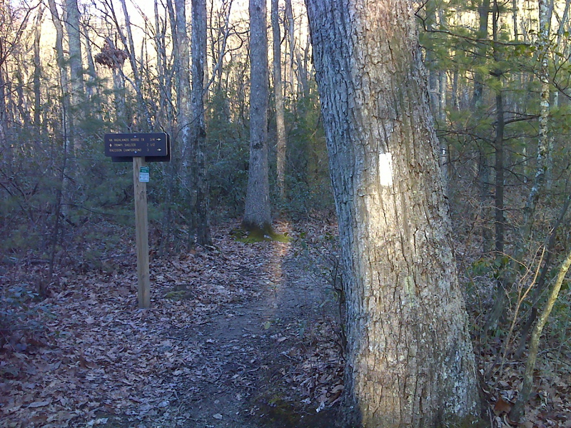
mm 13.1 Junction of AT with trail to Racoon Campground.
Submitted by pjwetzel @ gmail.com
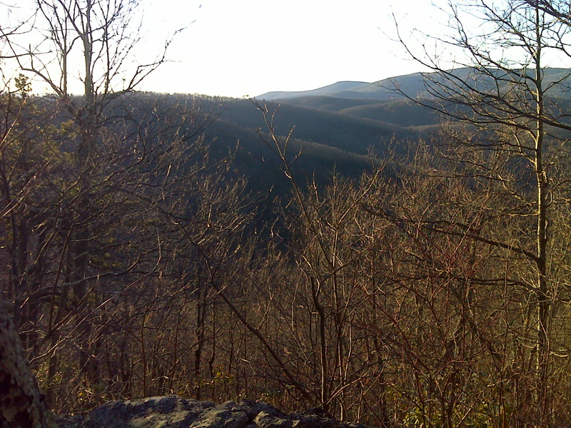
Vista of Iron Mountains looking east from AT north of VA 650. Taken at approx. mm 13.2. GPS N36.7295 W81.4712
Submitted by pjwetzel @ gmail.com