VA Section 41 Pictures - Milemarker 13.3 - 14.6
S. of Racoon Campground Trail - Dickey Gap (VA 16)
Move your mouse across the pictures for more information.
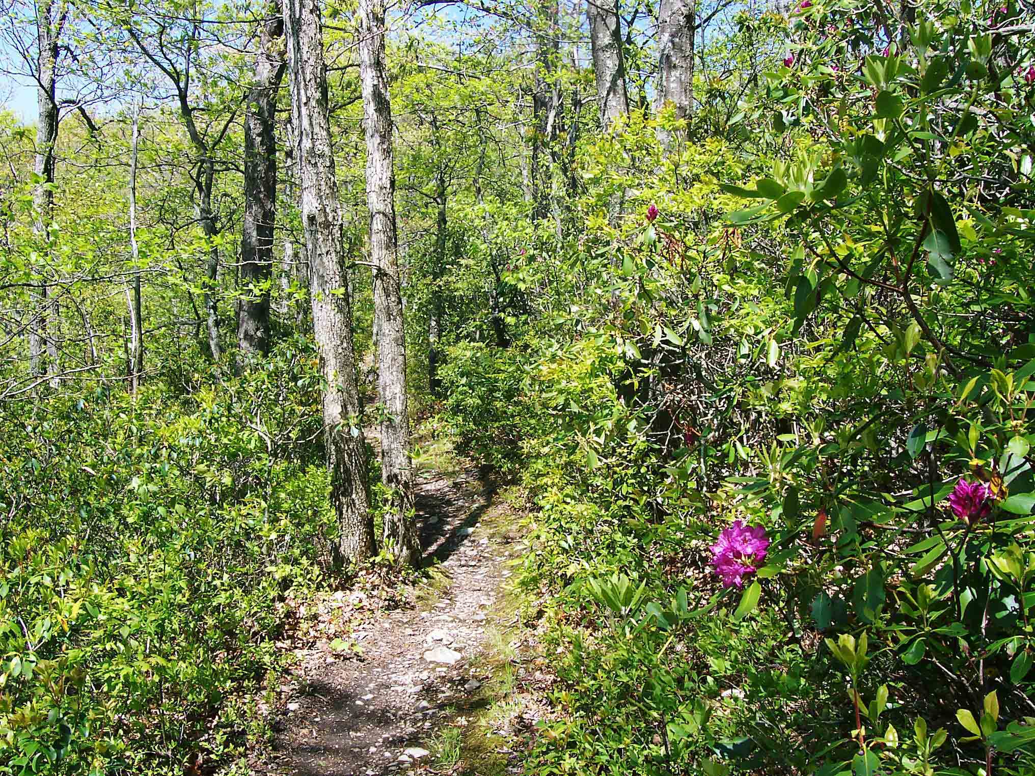
Trail just south of site of Racoon Branch Shelter. Taken at approx. MM 13.3.
Submitted by dlcul @ conncoll.edu
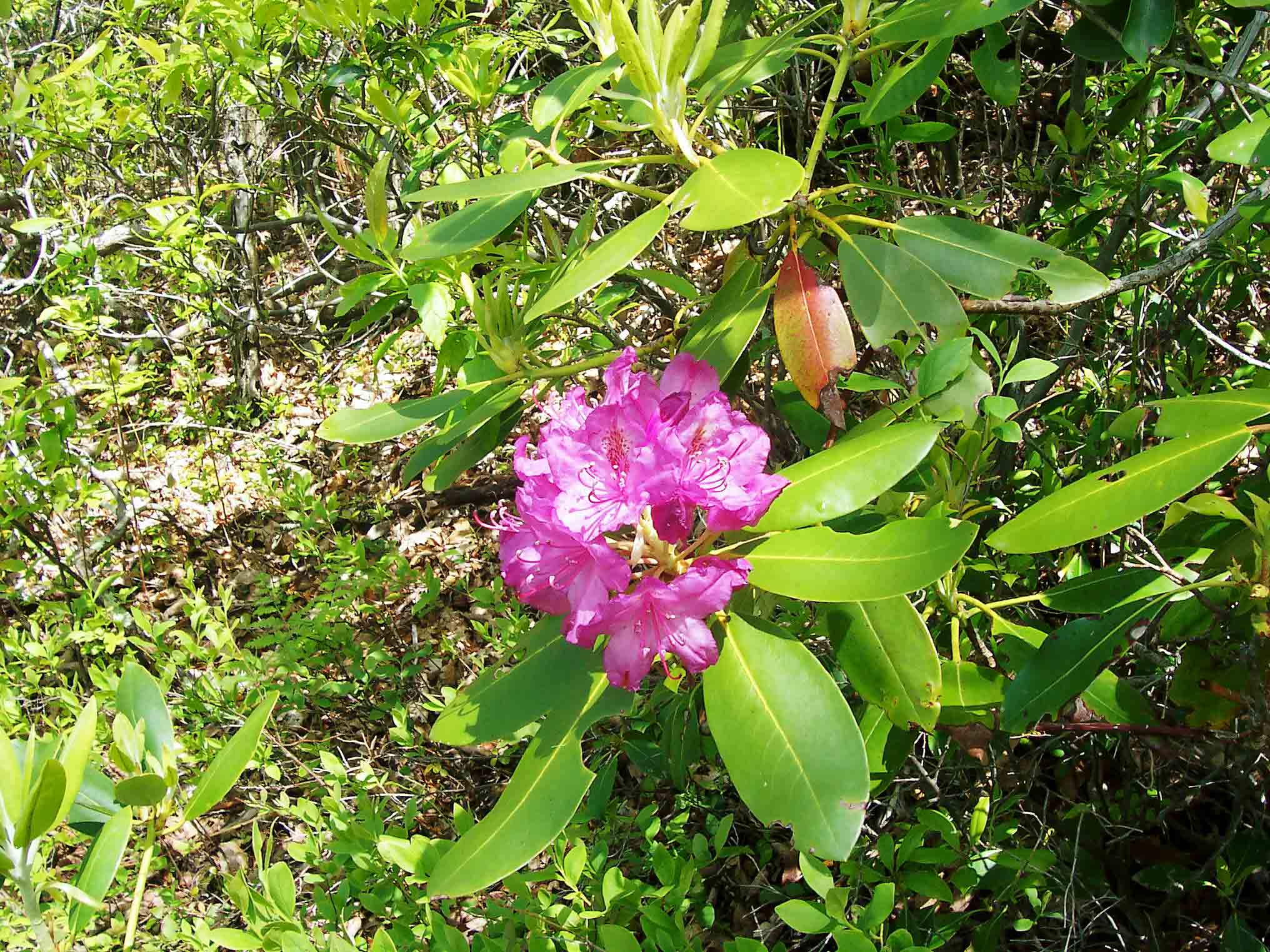
Rhododendron Bloom. Taken at approx. MM 13.3.
Submitted by dlcul @ conncoll.edu
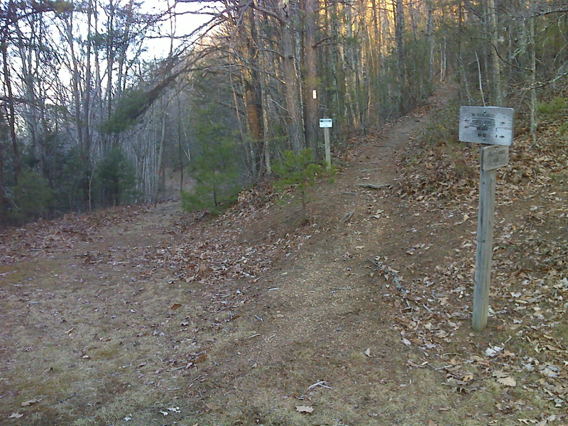
mm 13.8. Junction with the Virginia Highlands Horse Trail which follows the road seen in the picture. The northbound AT goes to the right.
Submitted by pjwetzel @ gmail.com
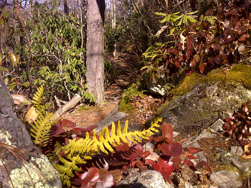
Step-over rock garden on the AT. GPS N36.7162 W81.475
Submitted by pjwetzel @ gmail.com
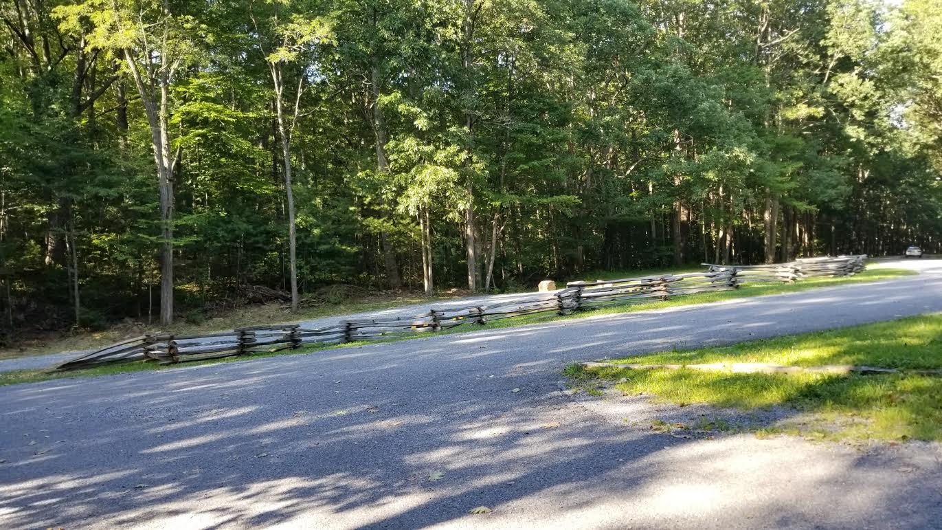
New Parking area (2017) at intersection of VA 42 and VA 650 in Dickey Gap
Submitted by jdm3944 @ comcast.net