VA Section 42 Pictures - Milemarker 0.0 - 4.6
VA 650 - Hurricane Creek Trail
Move your mouse across the pictures for more information.
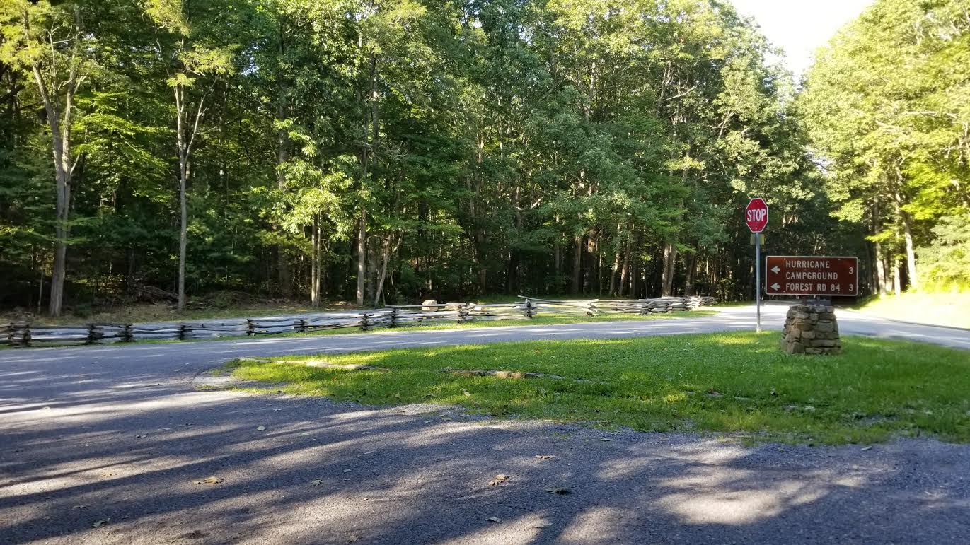
New Parking area (2017) at intersection of VA 42 and VA 650 in Dickey Gap
Submitted by jdm3944 @ comcast.net
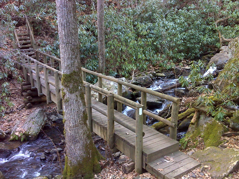
mm 1.2 AT footbridge crossing Comers Creek just below cascade.
Submitted by pjwetzel @ gmail.com
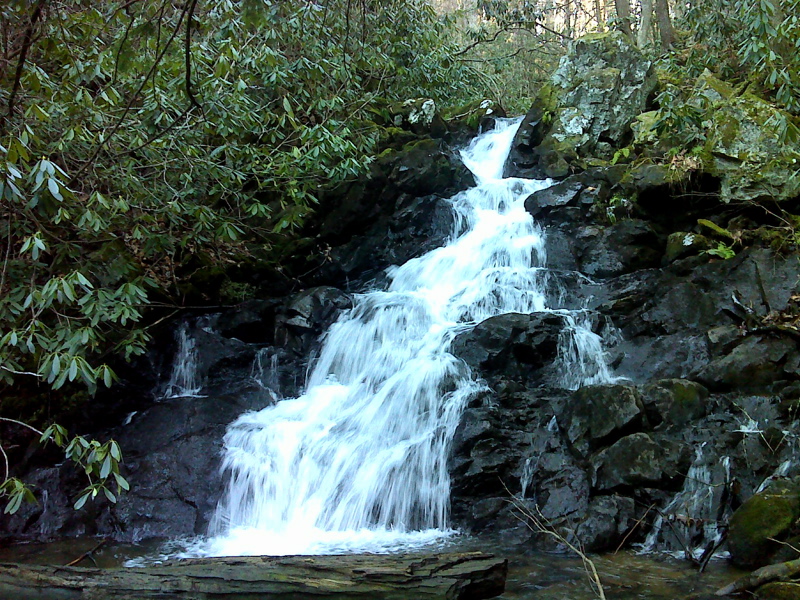
mm 1.2 Comers Creek Cascade. Taken in January 2012.
Submitted by pjwetzel @ gmail.com
MM 1.2 - Comers Creek Falls.
Submitted by dlcul @ conncoll.edu
MM 1.2 - Approaching Comers Creek Falls from the south.
Submitted by dlcul @ conncoll.edu
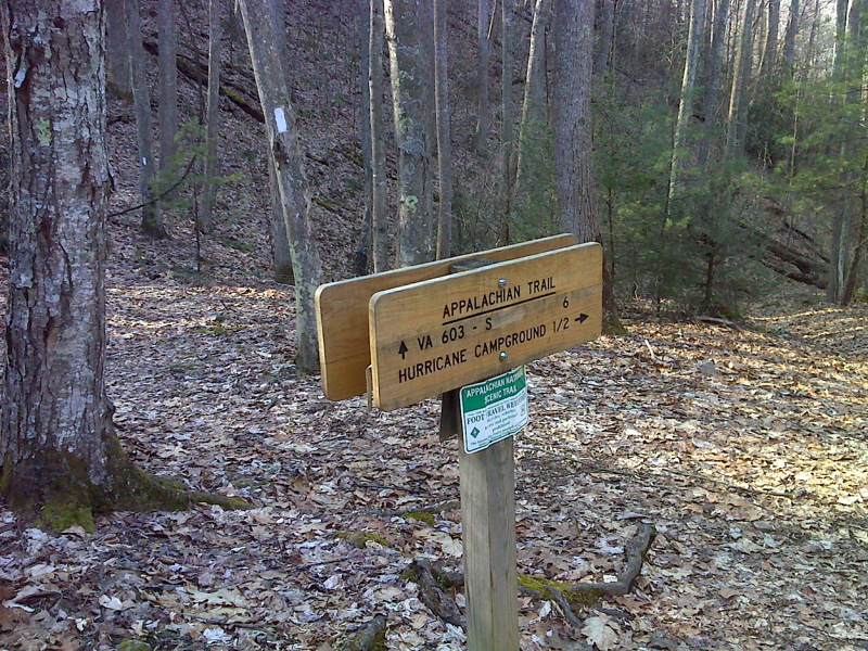
mm 2.1 Intersection of AT with Dickey Gap Trail, which lead 0.5 miles to Hurricane Campground.
Submitted by pjwetzel @ gmail.com
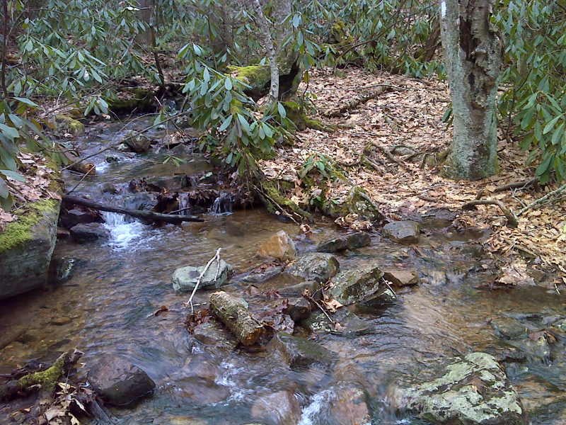
mm 3.8 AT crossing of small stream at 3100 feet elevation, low point at base of Hurricane Mountain summit, north side. From here a short bush whack through open woods leads to FS 84. GPS N36.7194 W81.5037
Submitted by pjwetzl @ gmail.com
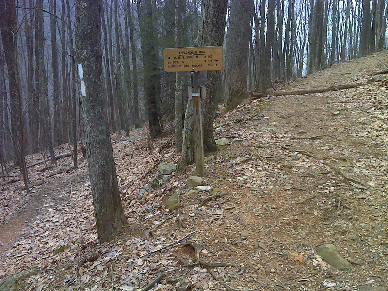
mm 4.6 Junction of AT with Hurricane Creek Trail, AT switches back, southbound trail begins to ascend forest road. same road descends to FR 84 in half mile.
Submitted by pjwetzl @ gmail.com