VA Section 42 Pictures - Milemarker 4.7 - 8.4
abandoned forest road - Fox Creek
Move your mouse across the pictures for more information.
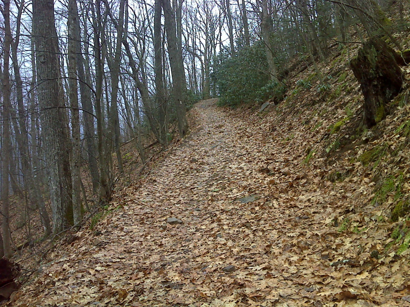
AT southbound ascends toward Hurricane Shelter on this very recently abandoned forest road, still well graded and free of vegetation. The At follow this road from mm 4.6 - 5.9. GPS N36.717 W81.5106
Submitted by pjwetzel @ gmail.com
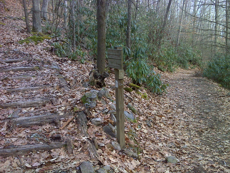
mm 5.2 Junction with side trail to Hurricane Mt. Shelter
Submitted by pjwetzel @ gmail.com
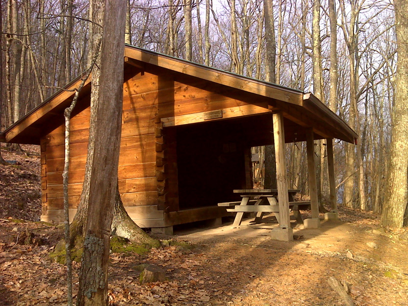
mm 5.2 Hurricane Shelter in the eye - only moment of sunshine all day (2/01/2012).
Submitted by pjwetzel @ gmail.com
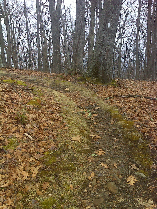
mm 5.9 Point where AT changes direction as it reaches-leaves the summit ridge, north side of Hurricane Mountain.
Submitted by pjwetzel @ gmail.com
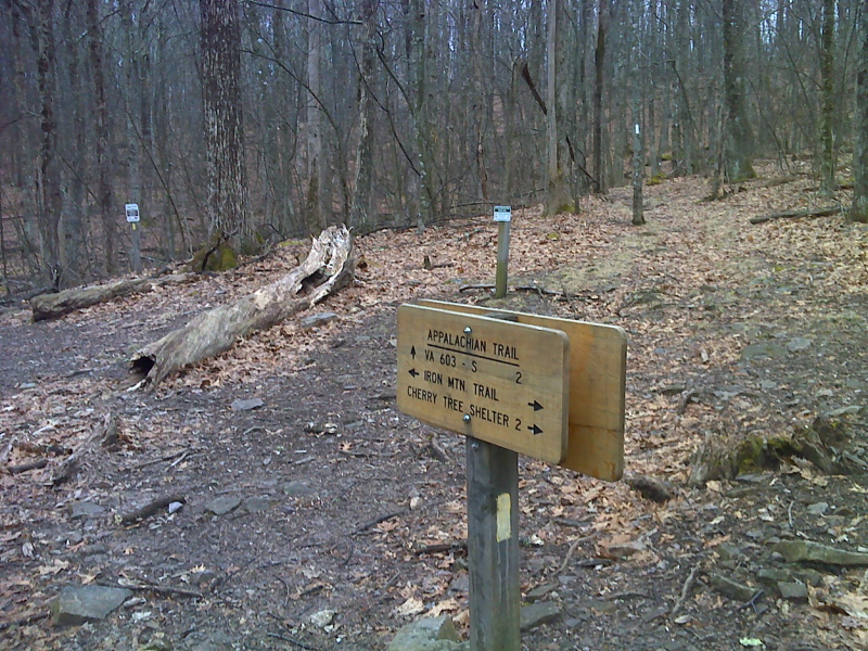
mm 6.2 Intersection with the yellow-blazed Iron Mountain Trail at Chestnut Flats on the ridge crest of Hurricane Mt.
Submitted by pjwetzel @ gmail.com
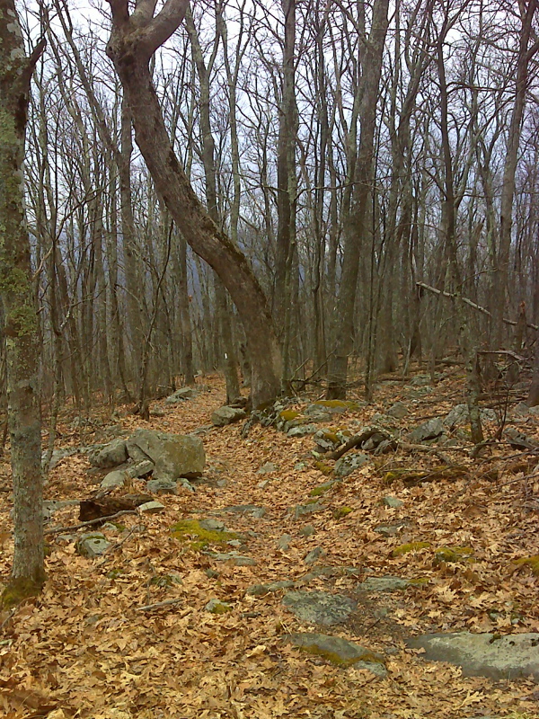
Contorted tree, Hurricane Mountain summit. Taken at approx. mm 6.5.
Submitted by pjwetzel @ gmail.com
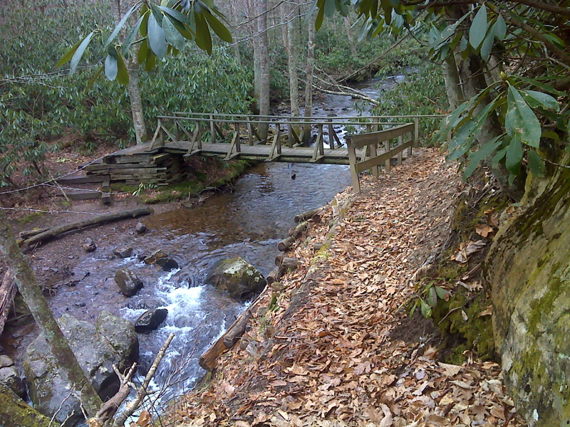
mm 8.4 Footbridge where AT crosses Fox Creek near VA 603
Submitted by pjwetzel @ gmail.com
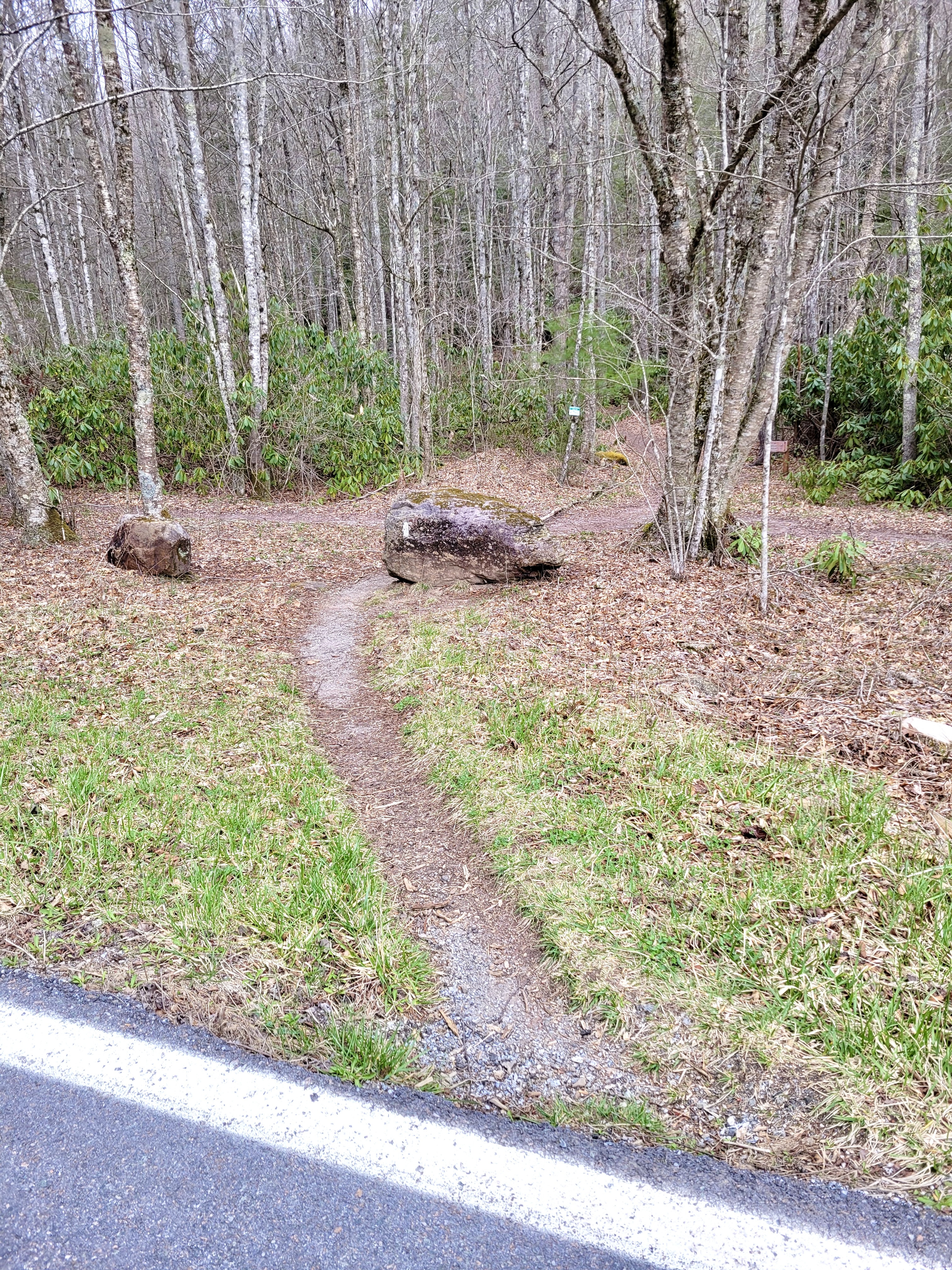
mm 8.4 AT crosses VA 603
Submitted by cabincellars@yahoo.com