VA Section 43 Pictures - Milemarker 4.8 - 5.8
The Scales - Stone Mt.
Move your mouse across the pictures for more information.
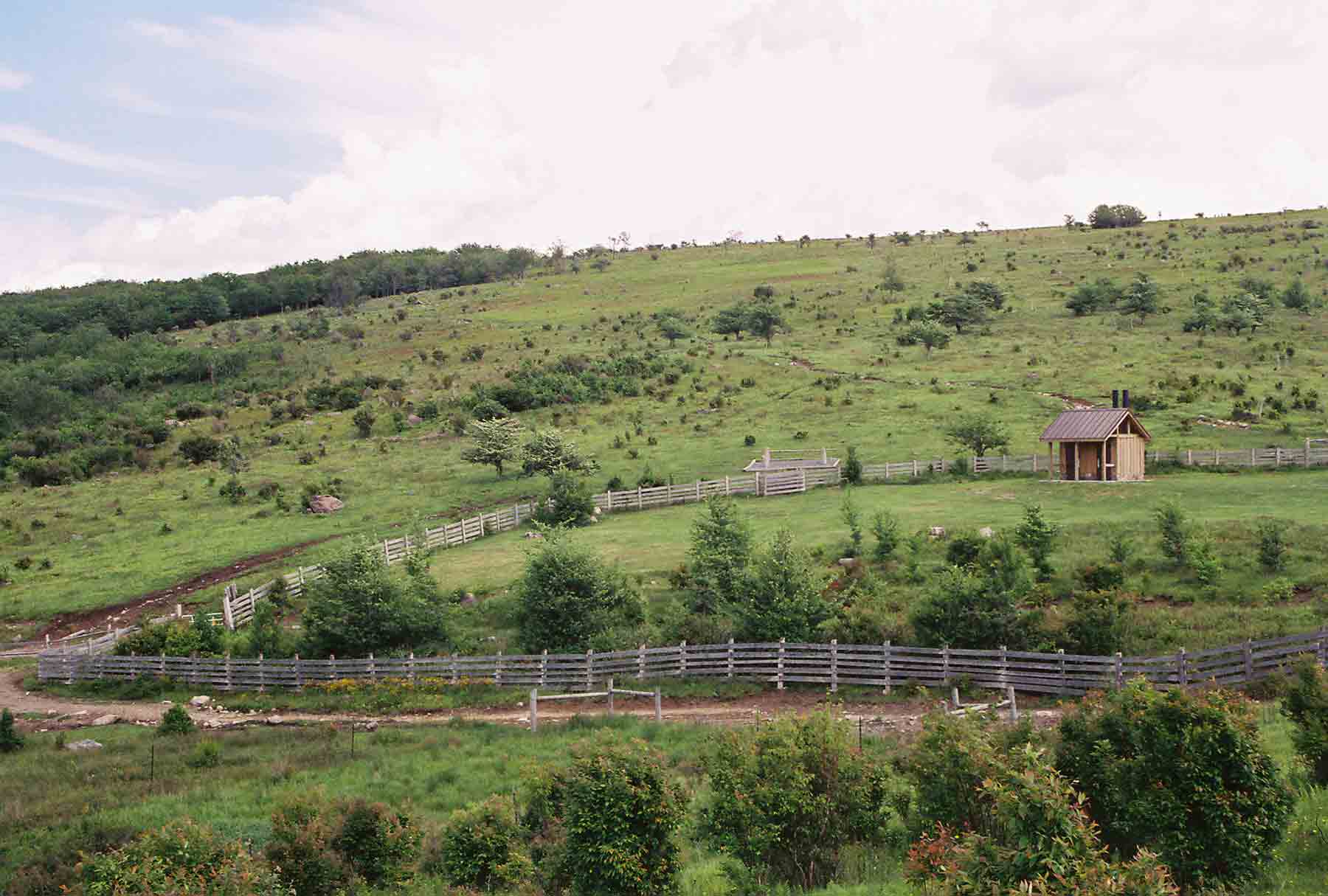
mm 4.8 - The Scales. Southbound AT crosses through corral and climbs to ridge of Stone Mt. in background. (May 2004).
Submitted by dlcul @ conncoll.edu
View along northbound AT from Stone Mountain towards the Scales. Taken at approx. MM 5.1.
Submitted by dlcul @ conncoll.edu
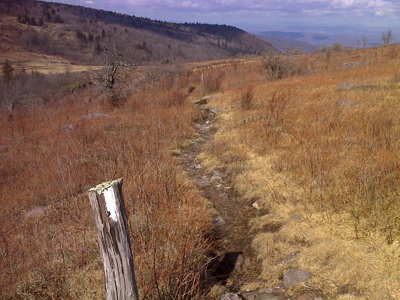
Vista looking north from AT near The Scales. GPS N36.6676 W81.4838
Submitted by pjwetzel @ gmail.com
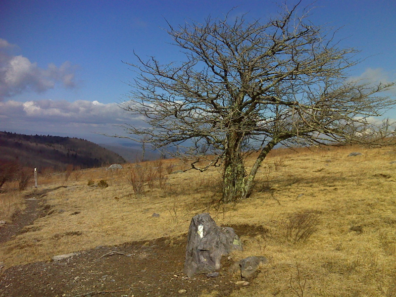
Picturesque tree on approach to The Scales, AT northbound. N36.6669 W81.4883
Submitted by pjwetzel @ gmail.com
AT along the open crest of Stone Mt. Taken at approx. MM 5.3.
Submitted by dlcul @ conncoll.edu
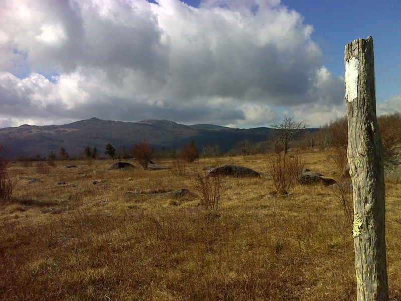
Rocky summit of Wilburn Ridge as viewed from AT near The Scales. GPS N36.6606 W81.4797
Submitted by pjwetzel @ gmail.com
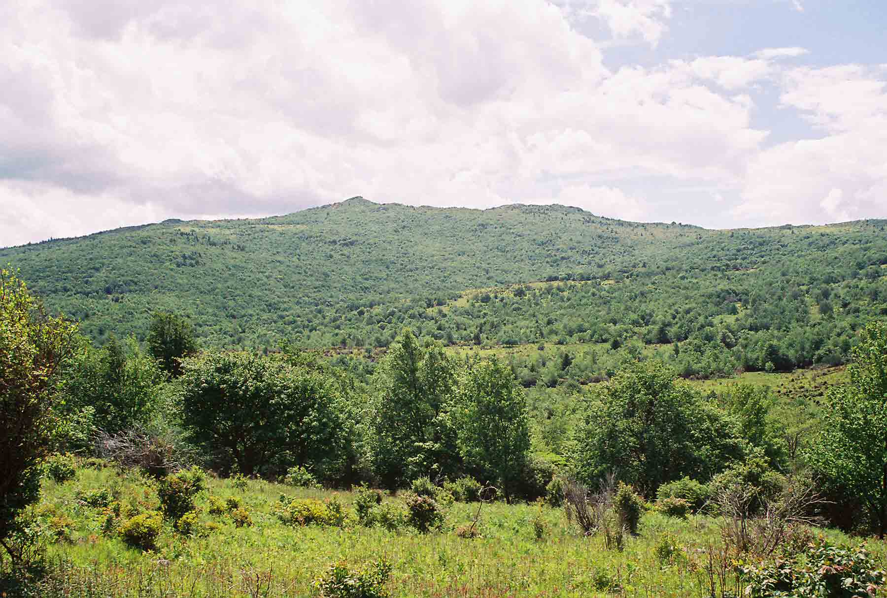
View west of the high country of Mt. Rogers National Recreation Area. Taken from Scales Trail north of the intersection with the AT at MM 7.3. AT makes a large semi-circle around this area. Southbound the AT eventually climbs Wilburn Ridge (in the distance in the picture). May 2004.
Submitted by dlcul @ conncoll.edu
Wilburn Ridge from crest of Stone Mt. Taken at approx. MM 5.8.
Submitted by dlcul @ conncoll.edu