VA Section 43 Pictures - Milemarker 5.8 - 9.2
Stone Mt. - Backpackers Spur Trail.
Move your mouse across the pictures for more information.
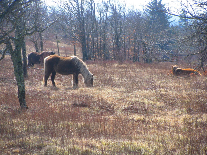
Winter-hardy wild ponies grazing the high meadows. GPS N36.6636 W81.4816
Submitted by pjwetzel @ gmail.com
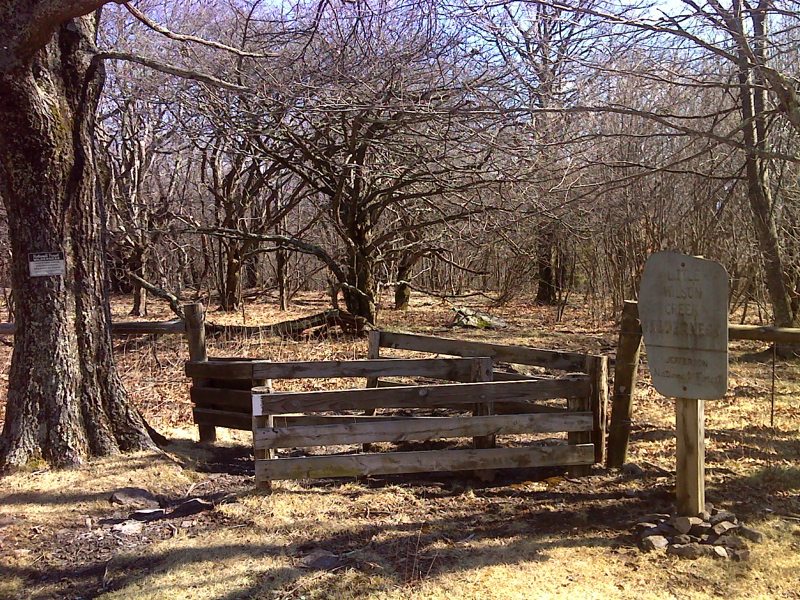
mm 6.0 AT southbound leaves extensive open meadow and briefly enters Little Wilson Creek Wilderness.
Submitted by pjwetzel @ gmail.com
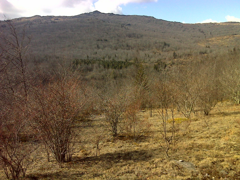
View of Wilburn Ridge from AT within Little Wilson Creek Wilderness. GPS N36.6565 W81.4795
Submitted by pjwetzel @ gmail.com
mm 7.5 - Bridge over east fork of Big Wilson Creek.
Submitted by dlcul @ conncoll.edu
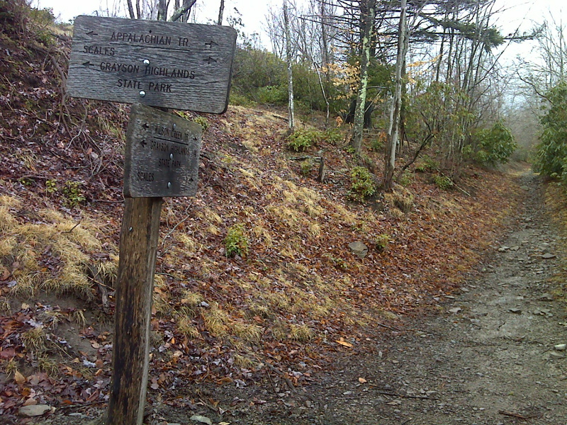
The AT intersects with the Wilson Creek Trail. To the south (the opposite direction of the view in this picture), the Wilson Creek Trail becomes a dirt road (normally closed to traffic) which leads 1.7 miles to a parking area at the entrance to the campground in Grayson Highlands State Park.
Submitted by pjwetzel @ gmail.com
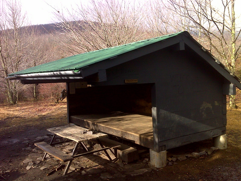
mm 7.6 Wise Shelter. The trail here is in Grayson Highlands State Park.
Submitted by pjwetzel @ gmail.com
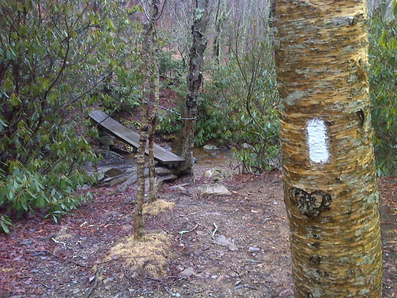
Footbridge across a tributary of Quebec Branch. GPS N36.6449 W81.506
Submitted by pjwetzel @ gmail.com
mm 9.2 - Junction of AT with Backpackers Spur Trail to overnight parking area near Massie Gap. This junction is just before the northbound AT starts to descend towards Wise Shelter and Big Wilson Creek.
Submitted by dlcul @ conncoll.edu