VA Section 43 Pictures - Milemarker 9.2 - 10.3
Backpackers Overnight Parking Lot- Boundary Mt. Rogers NRA and Grayson Highlands SP
Move your mouse across the pictures for more information.
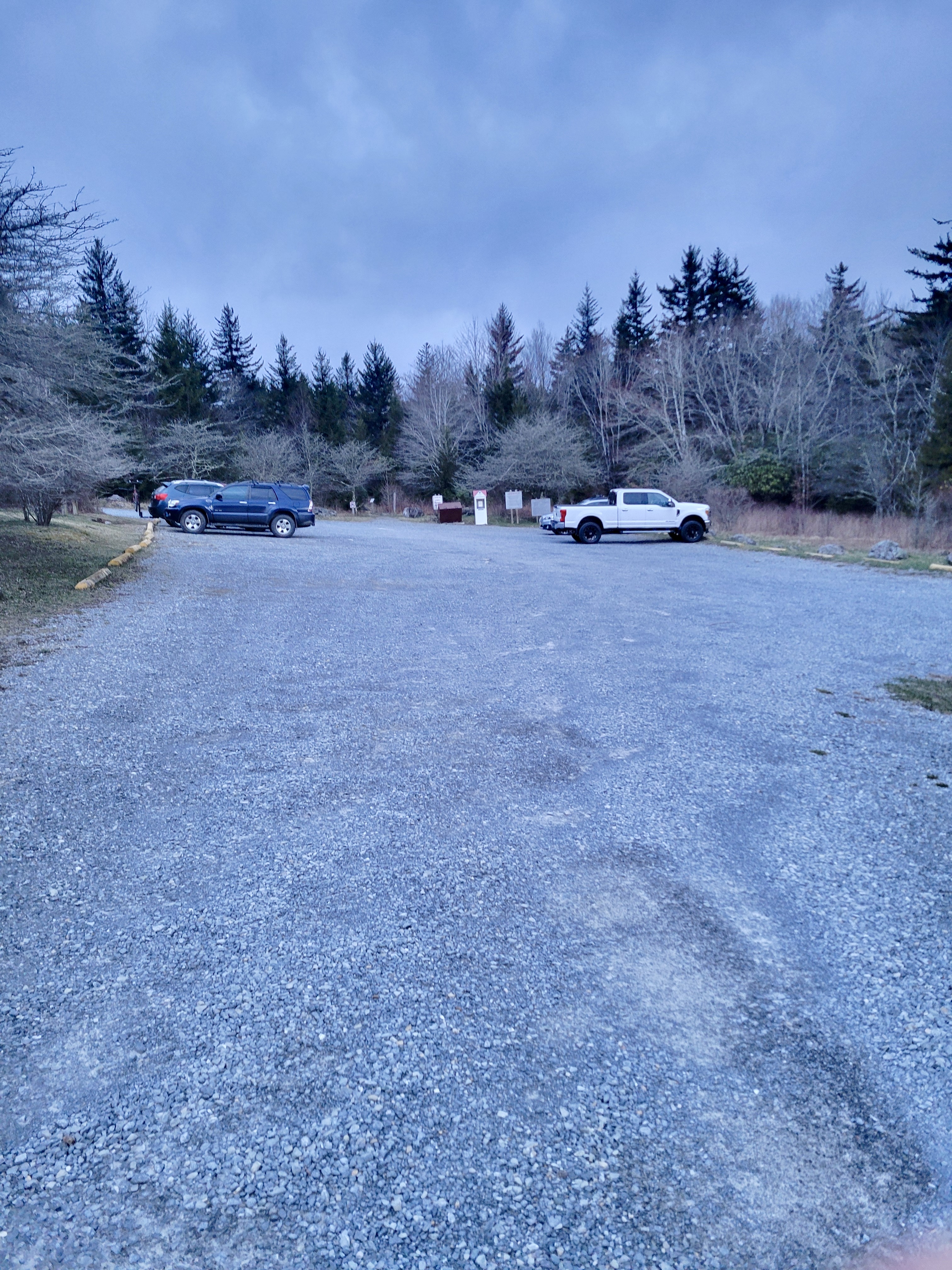
mm 9.2 Backpacker and Spur Trail Parking
Submitted by cabincellars@yahoo.com
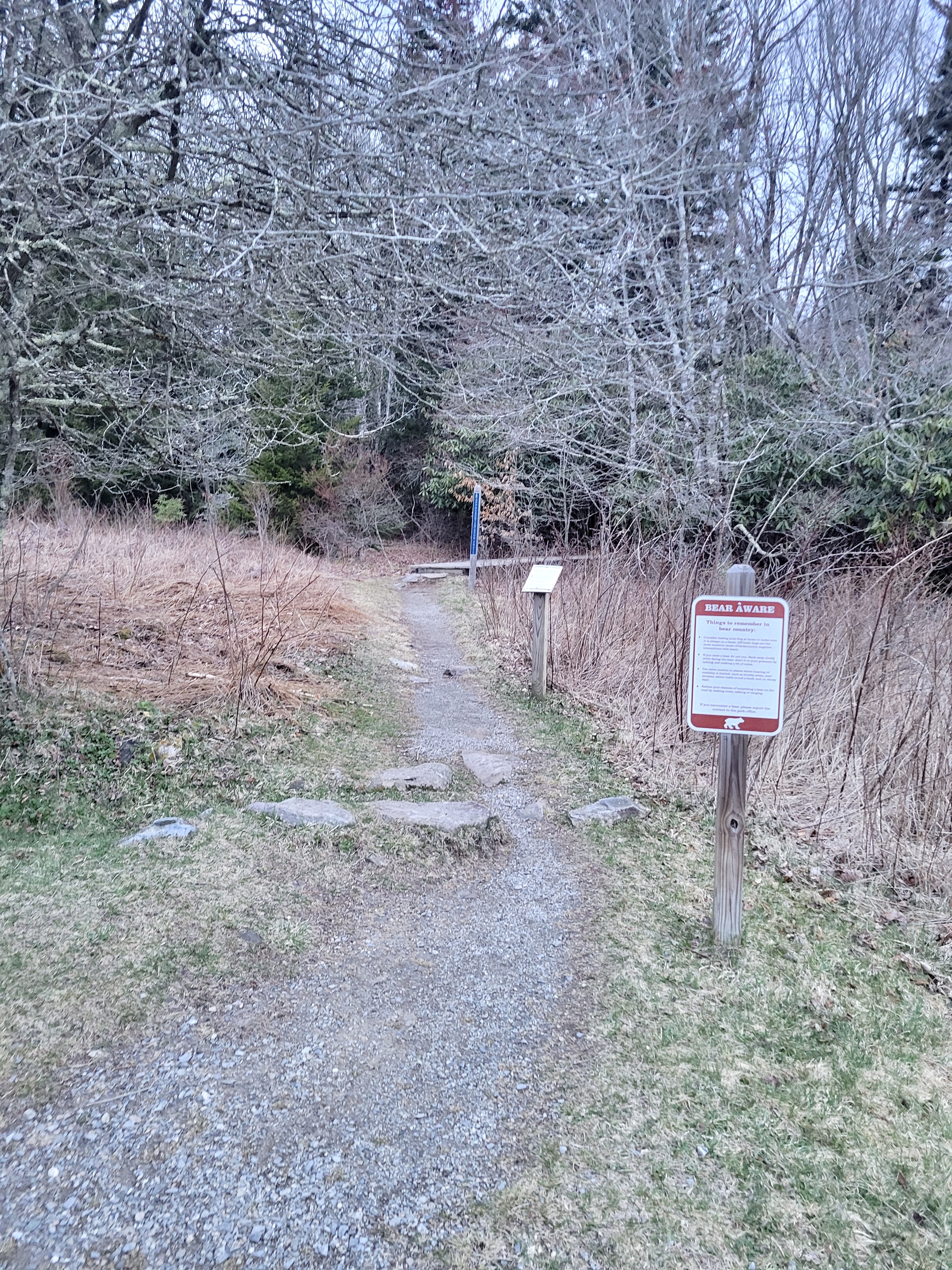
mm 9.2 Spur trail leaves the back of the parking area. Zoom in to see blue signage indicating Appalachian Spur Trail.
Submitted by cabincellars@yahoo.com
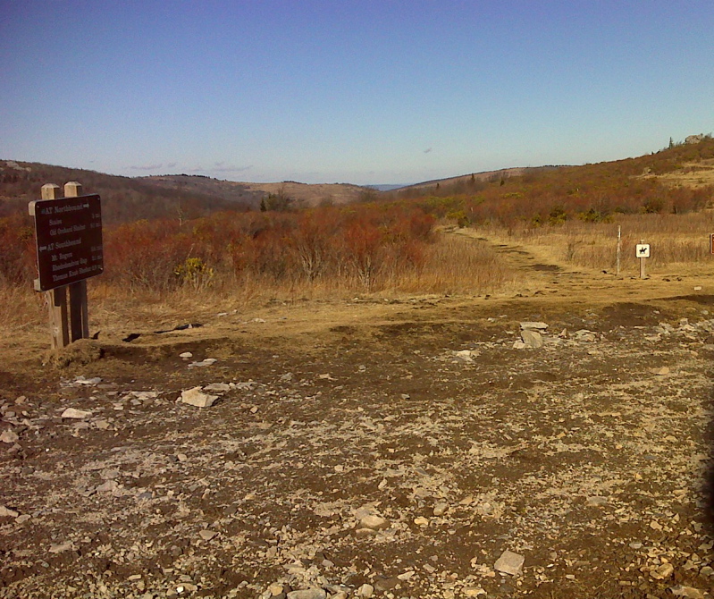
mm 9.8 AT crossing of horse trail and Rhododendron Trail (foot Trail) from Massie Gap.
Submitted by pjwetzel @ gmail.com
mm 9.8 - Looking east from near the junction of the AT and the Rhododenron Trail to Massie Gap. The northbound AT climgs to near the rocky point, passes the junction with the Backpackers Spur Trail, then descends to Big Wilson Creek.
Submitted by dlcul @ conncoll.edu
Massie Gap as seen from the Rhododendron Trail which meets the AT at MM 9.8. Some of the parking area can be seen on the left.
Submitted by dlcul @ conncoll.edu
Looking back towards the Rhododendron Trail and Wilburn Ridge from Massie Gap in Grayson Highlands State Park. Once the top of the hill seen in the picture is reached, the views of the Crest Zone become dramatic. The Rhododendron Trail meets the AT at MM 9.8.
Submitted by dlcul @ conncoll.edu
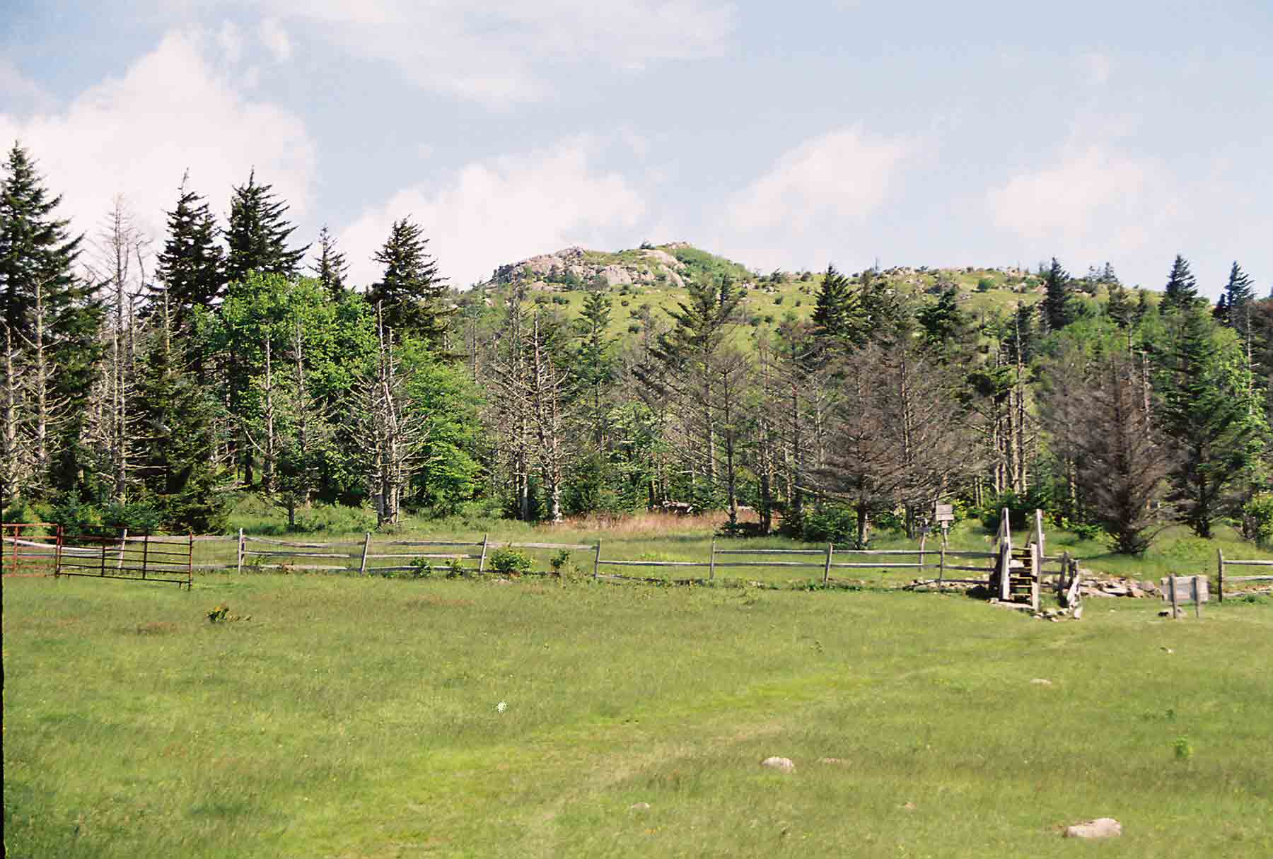
mm 10.3 - Boundary fence between Mt. Rogers NRA and Grayson Highlands State Park. Wilburn Ridge begins in background. The AT crosses the fence on a stile, and starts to climb ridge. This picture was taken in May 2004.
Submitted by dlcul @ conncoll.edu
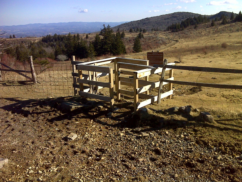
mm 10.3 Stile at State park boundary where AT southbound begins ascent to Wilburn Ridge. Taken in February 2012.
Submitted by pjwetzel @ gmail.com