VA Section 43 Pictures - Milemarker 10.6 - 11.4
Lower End Wilburn Ridge Trail - Upper End Wilburn Ridge Trail
Move your mouse across the pictures for more information.
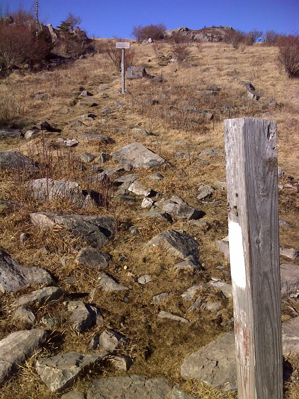
mm 10.6 AT intersection with lower end of Wilburn Ridge trail.
Submitted by pjwetzel @ gmail.com
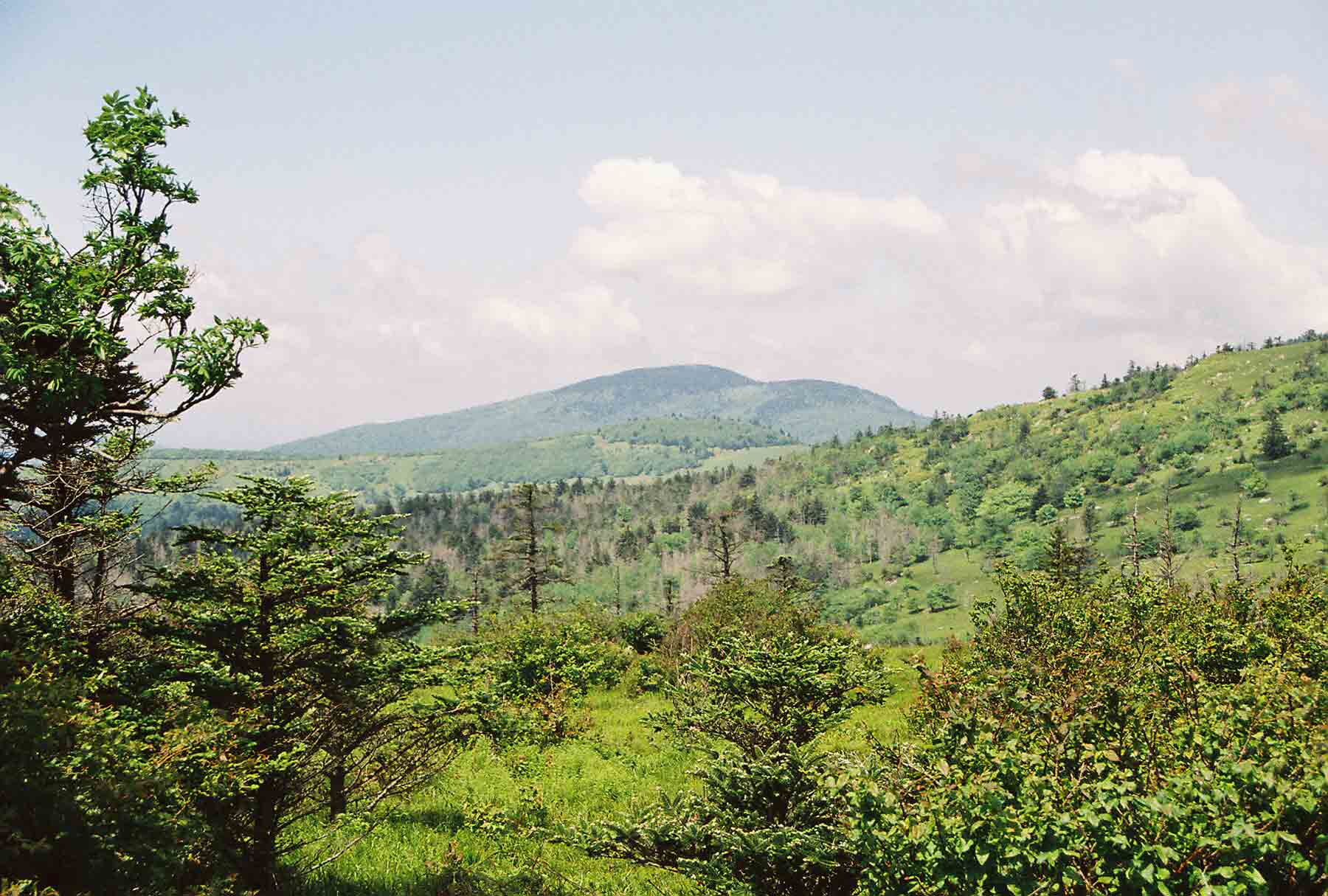
Looking West from Wilburn Ridge. Whitetop Mt. in distance. (May 2004).
Submitted by dlcul @ conncoll.edu
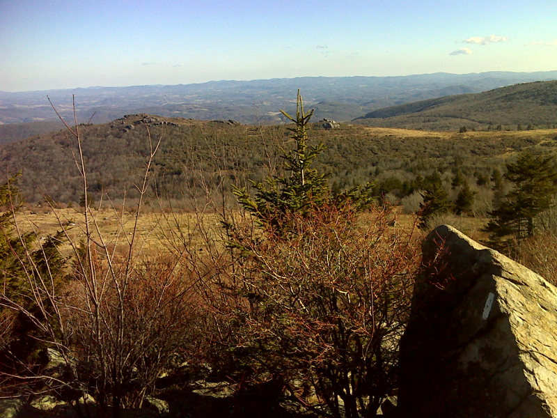
View southeast from flanks of Wilburn Ridge. GPS N36.647 W 81.5151
Submitted by pjwetzel @ gmail.com
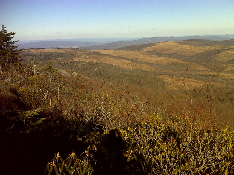
View toward The Scales and vicinity from flanks of Wilburn Ridge.
Submitted by pjwetzel @ gmail.com
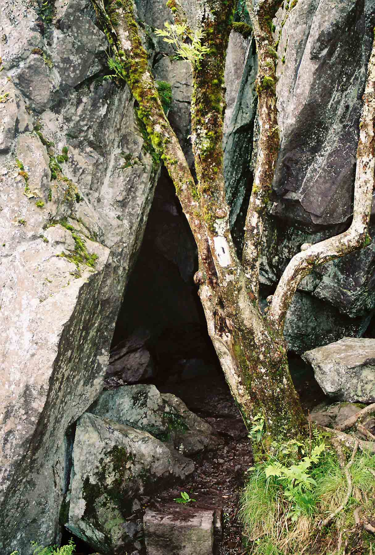
mm 11.3 - Fatman's Squeeze. The AT goes through this short natural tunnel. There is a bypass.
Submitted by dlcul @ conncoll.edu
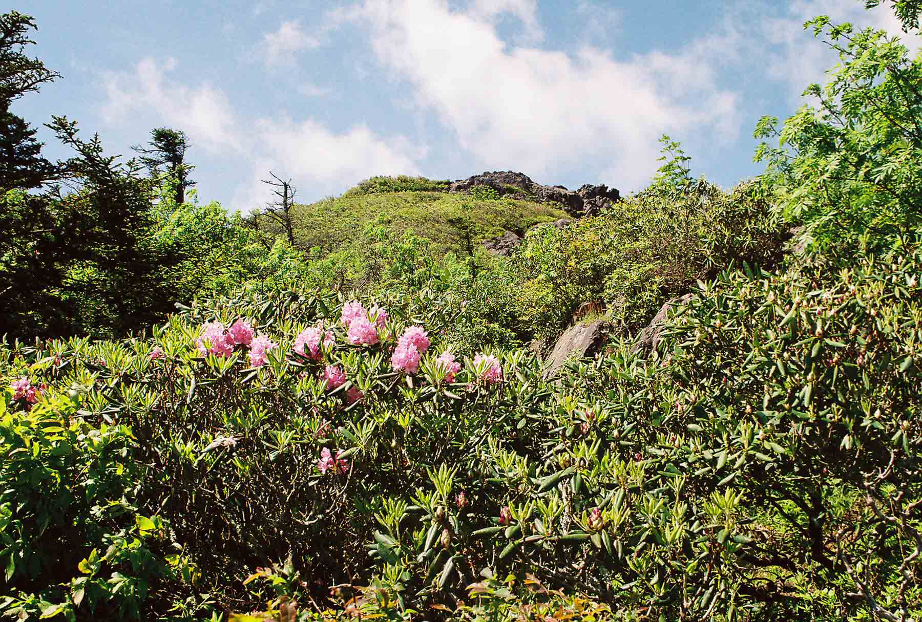
Rhododendron, Pine Mt. (May 2004). Taken at approx. MM 11.3.
Submitted by dlcul @ conncoll.edu
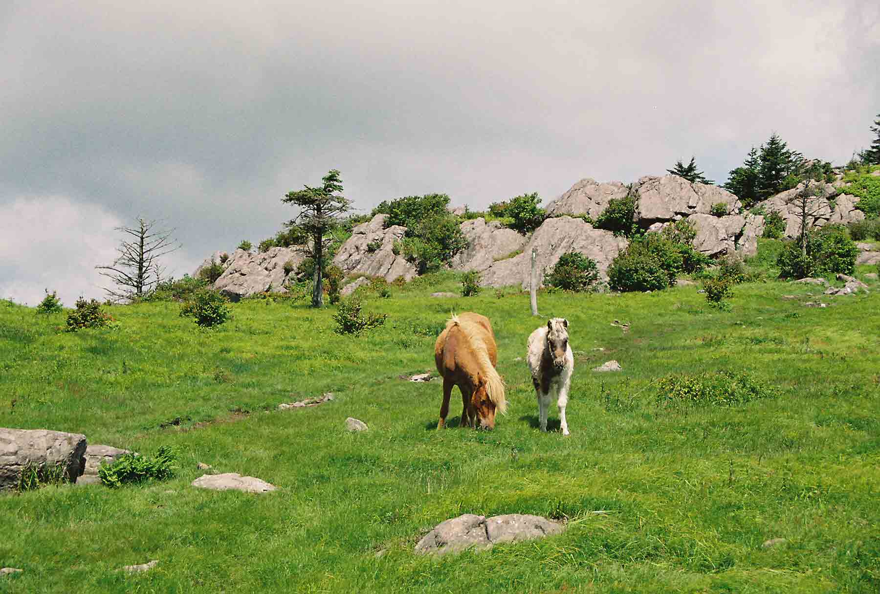
Two of the wild ponies of Mt. Rogers (May 2004). Taken at approx. MM 11.4.
Submitted by dlcul @ conncoll.edu
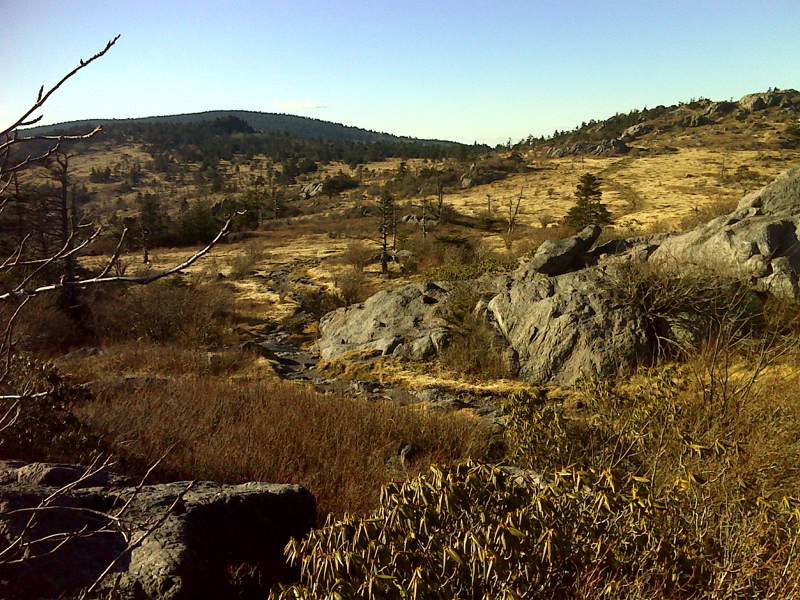
mm 11.4 AT southbound wends its way from Wilburn ridge toward Mt. Rogers (rounded high point in distance). Taken from near upper junction with the Wilburn Ridge Trail. GPS N36.6532 W81.5179
Submitted by pjwetzel @ gmail.com