VA Section 43 Pictures - Milemarker 12.2 - 16.9
Thomas Knob Shelter - Elk Garden
Move your mouse across the pictures for more information.
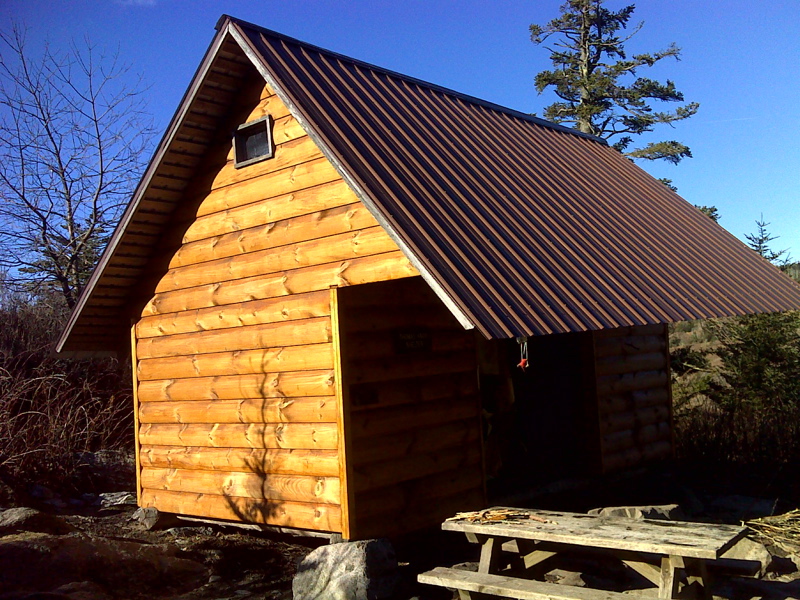
mm 12.7 Thomas Knob Shelter in February 2012. Note that it has been newly re-sided.
Submitted by pjwetzel @ gmail.com
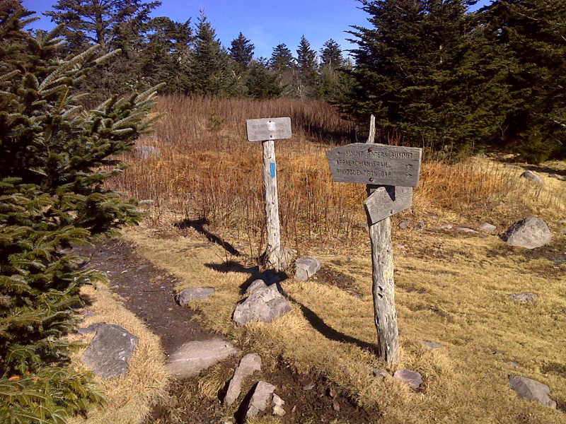
mm 13.1 Intersection with the spur trail to the summit of Mt. Rogers
Submitted by pjwetzel @ gmail.com
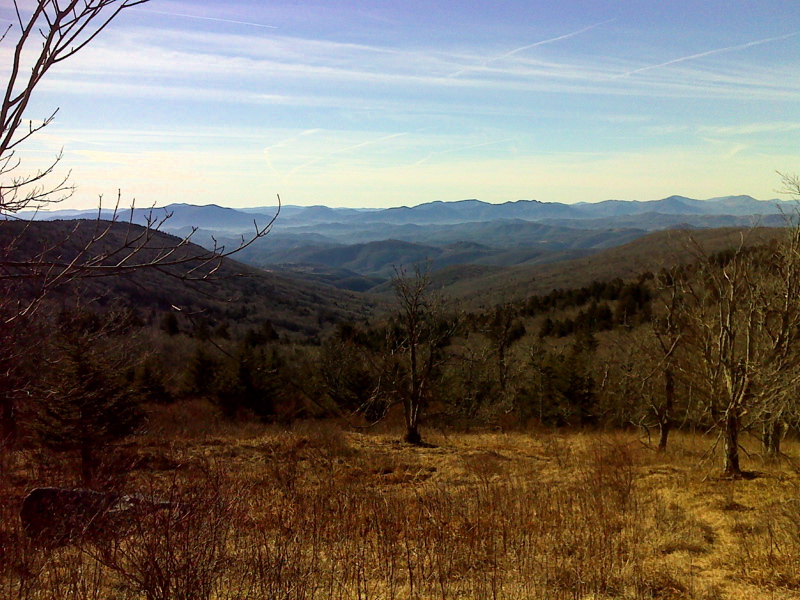
Vista from trail below Mt. Rogers. GPS N36.6567 W81.5392
Submitted by pjwetzel @ gmail.com
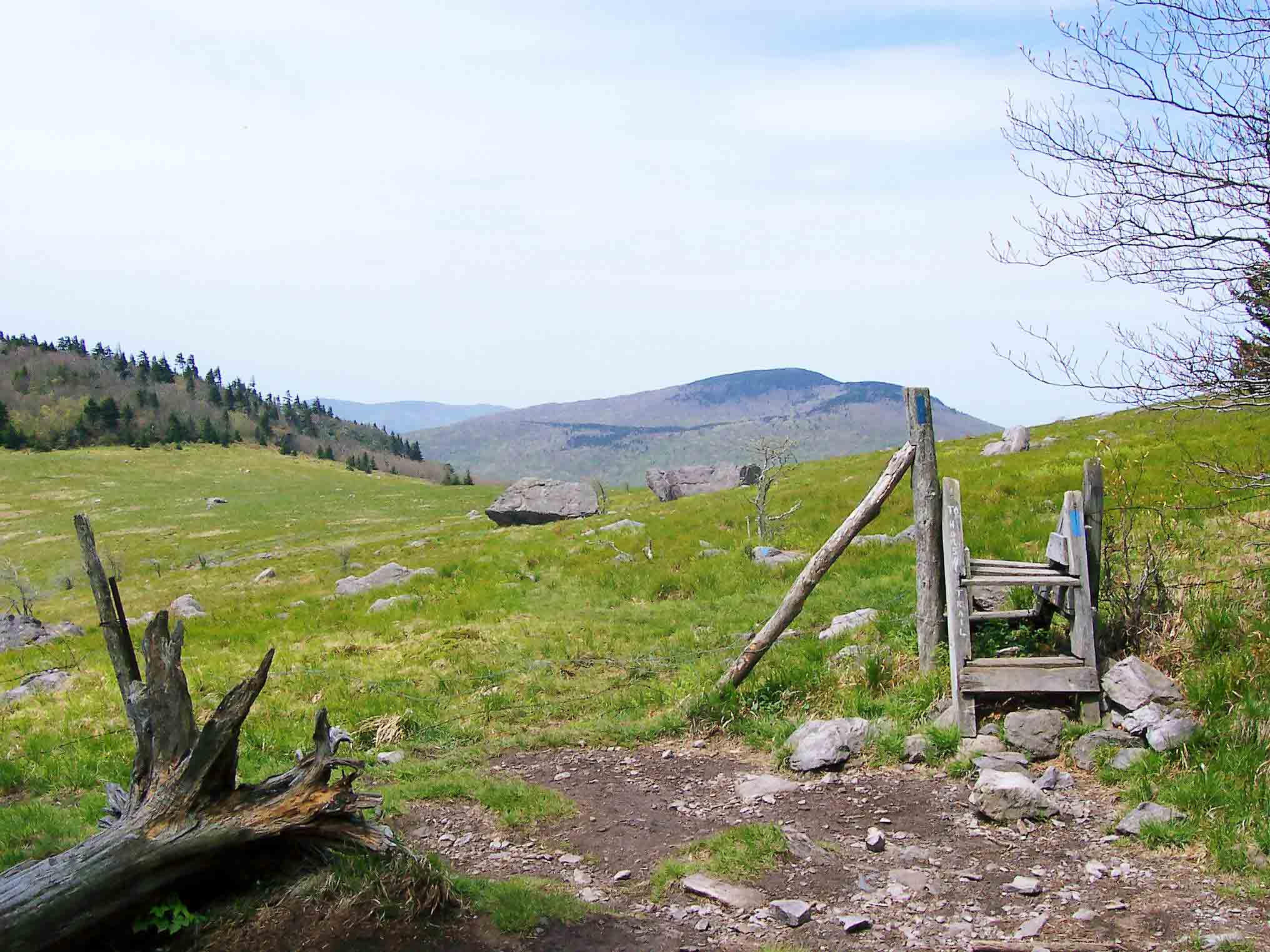
mm 14.2 - Whitetop Mt. as seen from Briar Ridge Saddle, approximately a mile north of Deep Gap.
Submitted by dlcul @ conncoll.edu
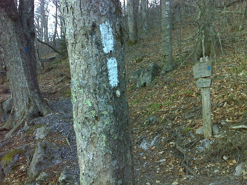
mm 14.8 Junction with the Mt. Rogers Trail. This descends to Grindstone Campground and VA 603.
Submitted by pjwetzel @ gmail.com
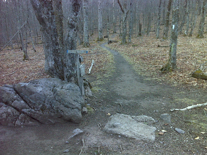
mm 14.9 Deep Gap. The blue-blazed trail leads to the Virginia Highlands Horse trail and a spring. No camping is allowed here. There are campsing sites about 0.1 miles trail south.
Submitted by pjwetzel @ gmail.com
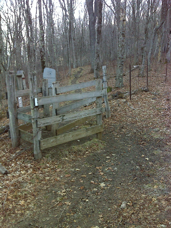
mm 16.3 Stile at boundary of Lewis Fork Wilderness
Submitted by pjwetzel @ gmail.com
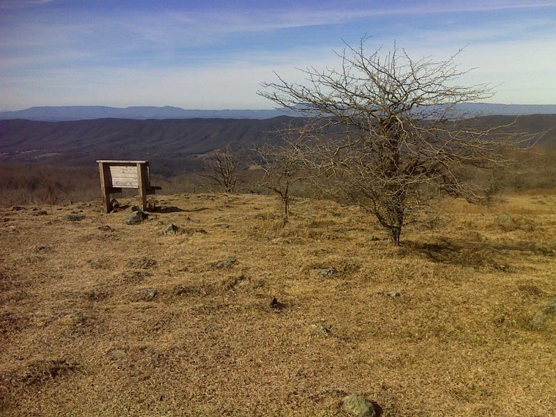
Chuck Hudson Memorial Bench in Elk Garden. GPS 36.6485 81.5791
Submitted by pjwetzel @ gmail.com
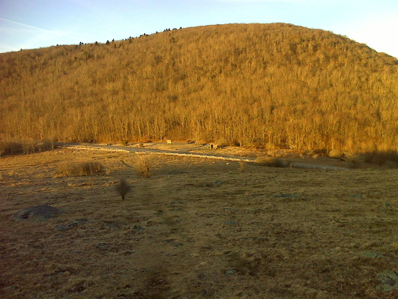
View as the southbound trail descends through pastures to Elk Garden. The AT parking lot on VA 600 can be seen. Taken at approx. mm 16.7
Submitted by pjwetzel @ gmail.com
picture taken 13 Nov 2016 just north of Elk Garden - parking area and privy to right.
Submitted by usnowds @ gmail.com