VA Section 44 Pictures - Milemarker 5.8 - 6.9
Trail South of VA 601 - US 58
Move your mouse across the pictures for more information.
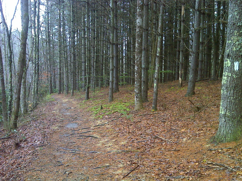
mm 5.8 View to south west (trail south) of VA 601.
Submitted by dlcul @ conncoll.edu
Fall color on the trail between VA 601 and US 58 at Summit cut. This colors in this picture, taken at approx. mm 5.8, are somewhat muted since it was a cloudy day.
Submitted by dlcul @ conncoll.edu

Pine plantation near Summit Cut, US 58. GPS N36.6385 W81.6471
Submitted by pjwetzel @ gmail.com
mm 6.9 Trail on east side of US 58 at Summit Cut.
Submitted by dlcul @ conncoll.edu