VA Section 45 Pictures - Milemarker 0.0 - 3.0
Star Hill Branch - Hassinger Bridge
Move your mouse across the pictures for more information.
mm 0.0 Trail crosses Star Hill Branch just west of US 58 crossing at Summit Cut.
Submitted by dlcul @ conncoll.edu
mm 1.1 Trail sign at intersection with trail to Lost Mountain Shelter.
Submitted by dlcul @ conncoll.edu
mm 1.1 Lost Mountain Shelter.
Submitted by dlcul @ conncoll.edu

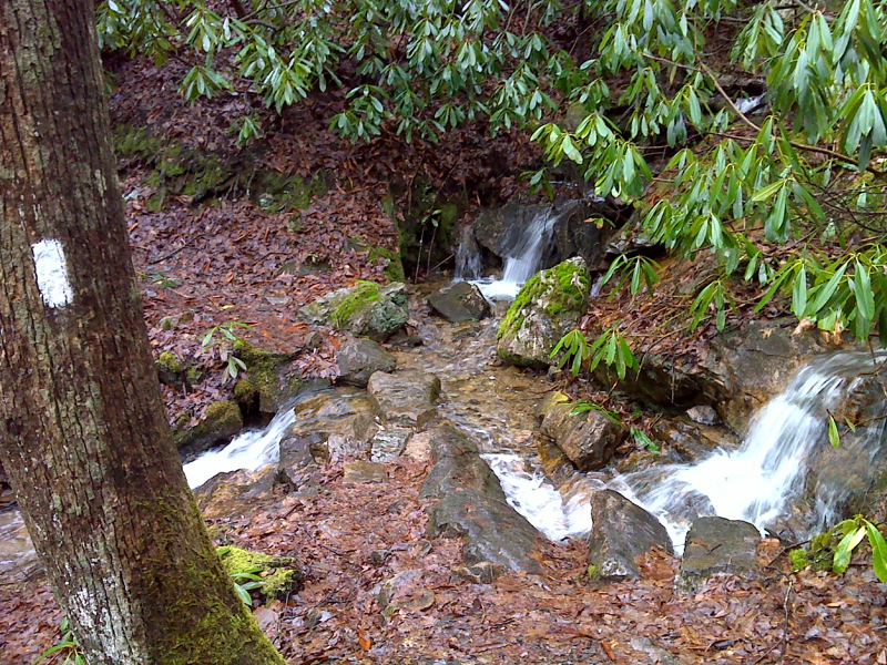
Cascades at stream crossing near VA 859. GPS N36.6484 W81.6629
Submitted by pjwetzel @ gmail.com
mm 2.3 Southbound trail meets VAS 859 (Grassy Ridge Road).
Submitted by dlcul @ conncoll.edu
mm 2.3 Looking north on VAS 859 (Grassy Ridge Road) from trail crossing.
Submitted by dlcul @ conncoll.edu
mm 2.9 Looking west across the Luther Hassinger Memorial Bridge. This was an old railroad trestle. For about half a mile in this area, the AT and the multi-use Virginia Creeper Trail (an old railroad grade) coincide. This was taken from where the southbound AT first meets the "Creeper".
Submitted by dlcul @ conncoll.edu
Looking east across the Luther Hassinger Memorial Bridge. This was taken at approx. mm 3.0.
Submitted by dlcul @ conncoll.edu