VA Section 45 Pictures - Milemarker 3.1 - 5.1
Virginia Creeper Trail - Pond
Move your mouse across the pictures for more information.
Fall view along the Virginia Creeper/ AT. This was taken at approx. mm 3.1.
Submitted by dlcul @ conncoll.edu
mm 3.4 Looking west (trail south) at Creek Junction. In the old days the route of the Virignia Creeper Trail split here. Today the southbound Virginia Creeper/AT comes in along the right fork and continues straight ahead. The fork to the left leads about half a mile to a parking area at the end of VA 728.
Submitted by dlcul @ conncoll.edu
mm 3.4 Whitetop Laurel Creek near Creek Junction. While I saw no other hikers on this day in October 2008, the Creeper trail was loaded with bicyclists including several families. The creek was very placid then. See next picture for a different personality of this creek.
Submitted by dlcul @ conncoll.edu

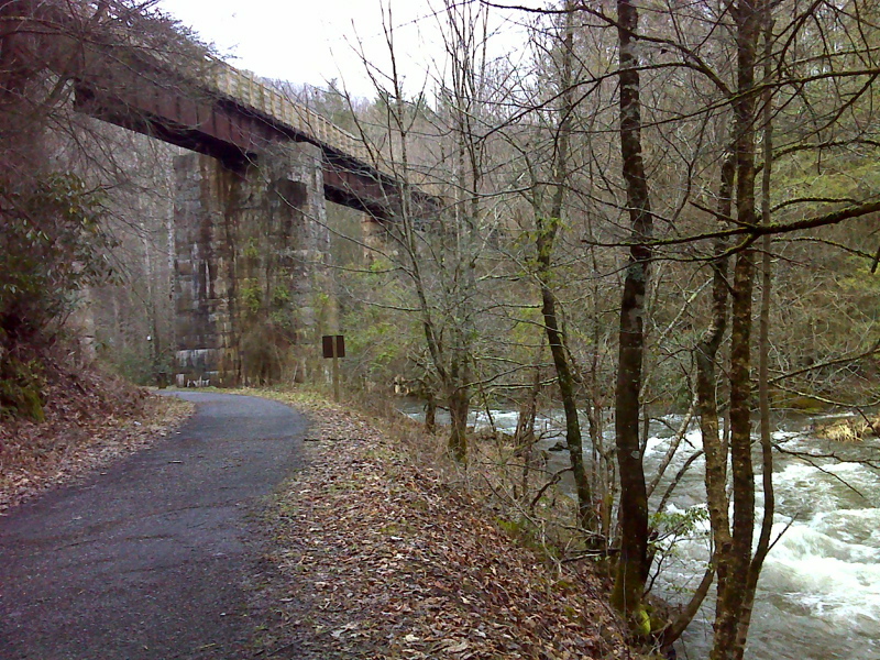
mm 3.4 The Luther Hassinger Memorial Bridge as seen from the access trail from the parking area on VA728. The Appalachian Trail and the Virginia Creeper Trail use this bridge. The access trail, also an old railroad bed, meets the AT/ VA Creeper Trail at Creek Junction. Note the raging rain swollen Whitetop Laurel Creek on the right. Picture taken in February 2012.
Submitted by pjwetzel @ gmail.com

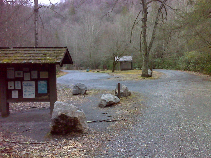
mm 3.4 Huge parking area on VA 728 (Creek Junction Road). From here an access trail leads about half a mile to meet the AT/Virginia Creeper Trail at Creek Junction.
Submitted by pjwetzel @ gmail.com

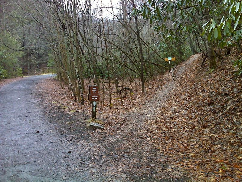
mm 3.5 The southbound AT leaves the Virginia Creeper Trail here and starts to climb. Northbound the two trails coincide for 0.6 miles.
Submitted by pjwetzel @ gmail.com
Fall view along southbound trail as it climbs from the Virginia Creeper Trail to Beartree Gap. Taken at approx. mm 4.0
Submitted by dlcul @ conncoll.edu

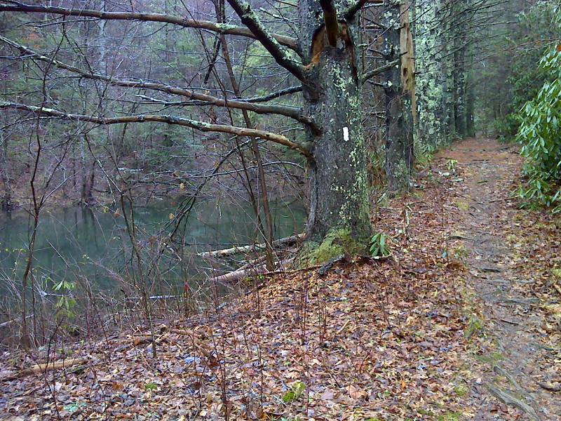
mm 5.1 Pond and line of big white pines on AT near Beartree Gap. GPS N36.6518 W.81.688
Submitted by pjwetzel @ gmail.com