VA Section 45 Pictures - Milemarker 5.2 - 9.3
Beartree Gap Trail - Virginia Creeper Connector
Move your mouse across the pictures for more information.
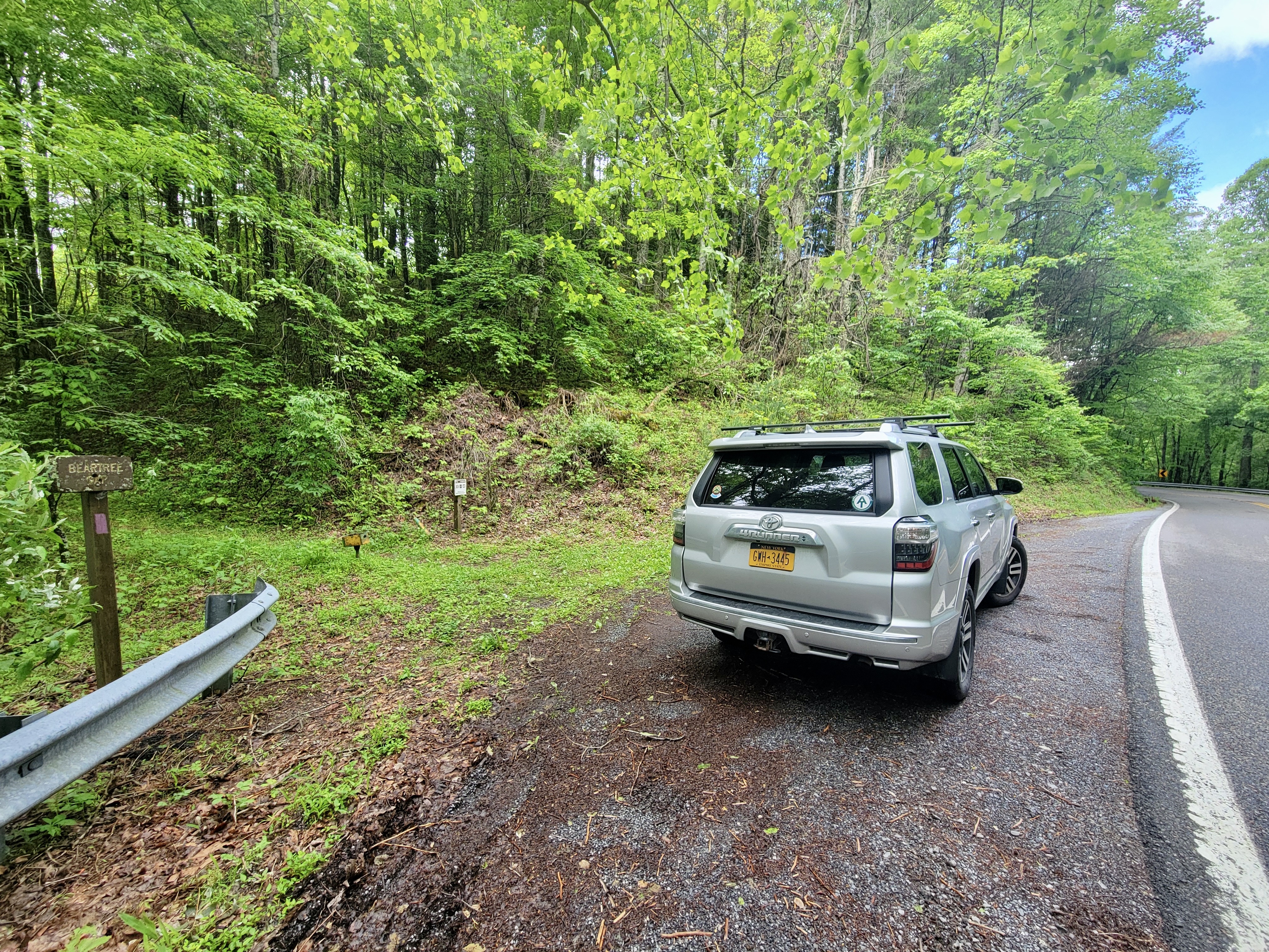
MM 5.2 Junction with Beartree Gap Trail. A violet-blazed side trail leads 0.2 miles to US 58 and another 0,3 miles to a parking area.
Submitted by dlcul @ conncoll.edu

mm 5.2 US 58 pull-off parking and violet blaze of Beartree Gap Trail
Submitted by cabincellars@yahoo.com
mm 5.2 View to the east from a clearing on the violet-blazed Beartree Gap Trail. This is about 0.1 miles north of the AT and about 0.2 miles south of US 58 in Beartree Gap. I believe the large mountain in the picture is Beech Mt.
Submitted by dlcul @ conncoll.edu
mm 7.5 North Junction of the AT with the blue-blazed loop trail to Saunders Shelter.From here it is 300 yards to the shelter.
Submitted by dlcul @ conncoll.edu

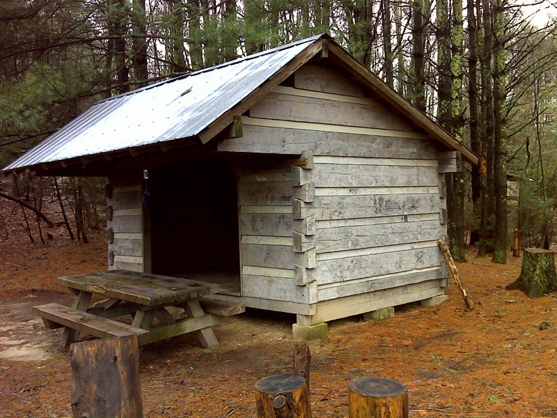
Saunders Shelter. A loop trail leads to this shelter from the AT at mm 7.5 and 7.9.
Submitted by pjwetzel @ gmail.com
mm 7.9 South Junction of the AT with the blue-blazed loop trail to Saunders Shelter. From here it is 0.2 miles to the shelter.
Submitted by dlcul @ conncoll.edu
View to west from a blowdown patch. This was taken at approx. MM 7.9 near the western (trail south) junction with the Saunders Shelter loop trail. From here the southbound trail begins a long descent to Whitetop Laurel Creek.
Submitted by dlcul @ conncoll.edu
MM 9.3 Junction with Connector to the Virginia Creeper Trail. It is only a short distance to the Creeper and then 0.2-0.3 miles to the community of Taylors Valley. This is near the bottom of the descent southbound from Straight Mt.
Submitted by dlcul @ conncoll.edu