VA Section 45 Pictures - Milemarker 11.3 -15.8
Feathercamp Branch- N. Jct. US 58 and Virginia Creeper Trail
Move your mouse across the pictures for more information.

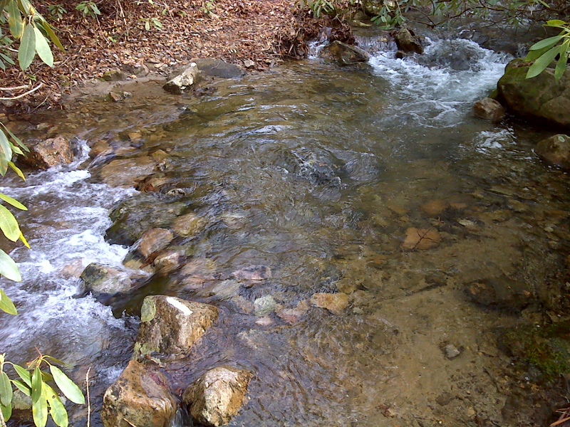
mm 11.4 Ford, clearly blazed, wading required, at Feathercamp Branch. There used to be a bridge nearby. The footings are still visible. Picture taken February 2012. GPS N36.6456 W81.7361
Submitted by pjwetzel @ gmail.com

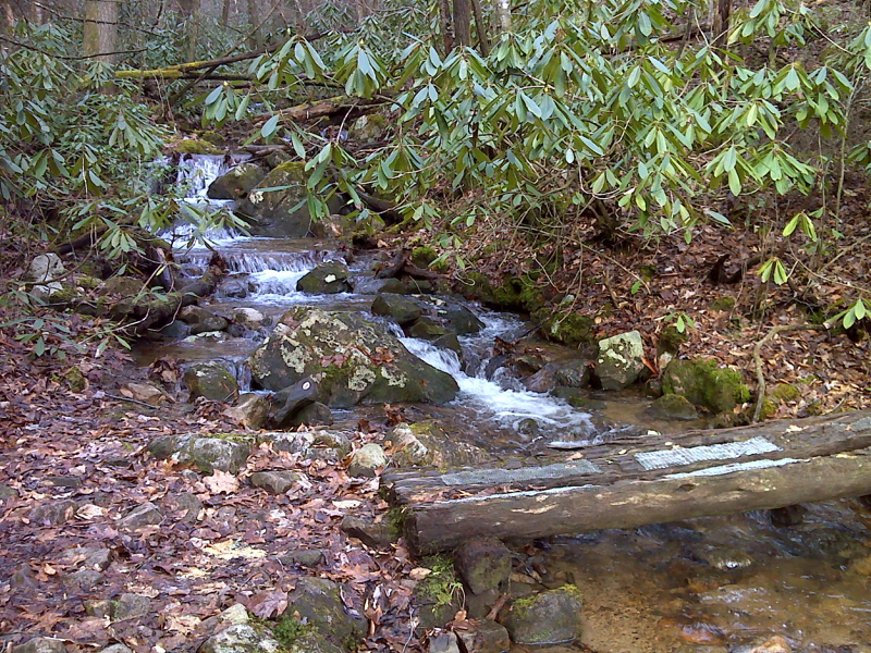
Stream crossing above Straight Branch parking area. GPS N36.6469 W81.7414
Submitted by pjwetzel @ gmail.com
Swallowtail butterfly on a Flame Azalea. Taken at approx. MM 13.2.
Submitted by dlcul @ conncoll.edu
mm 13.4 Junction with the blue-blazed connector to the Iron Mt. Trail.
Submitted by dlcul @ conncoll.edu
View to east. The mountain is probably Straight Mt. The AT runs along the ridge for some distance. Taken at approx. MM 13.6.
Submitted by dlcul @ conncoll.edu
View to south east. Taken at approx. MM 13.6.
Submitted by dlcul @ conncoll.edu
MM 14.1 Saddle in ridge near Cuckoo Knob. This is highest elevation of the trail between Straight Branch and Damascus.
Submitted by dlcul @ conncoll.edu

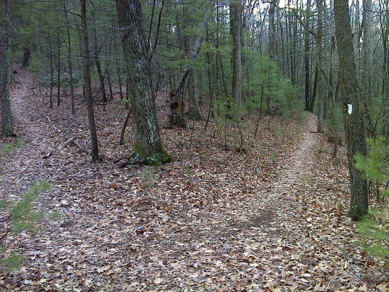
Switchback where trail levels off between US 58 and Cuckoo Knob. GPS N36.6338 W81.7756
Submitted by pjwetzel @ gmail.com