VA Section 5 Pictures - Milemarker 0.0 - 1.9
VA 55 - VA 638
Move your mouse across the pictures for more information.

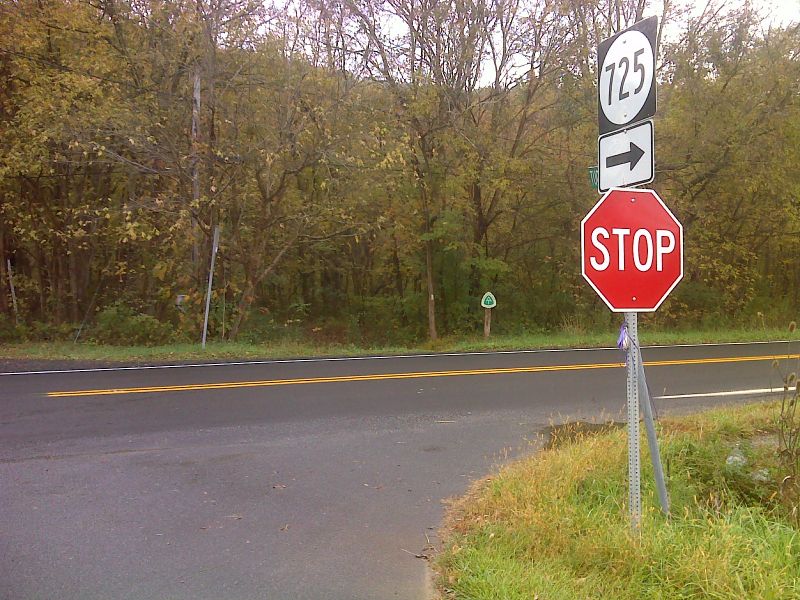
mm 0.0 Crossing of VA 55 in Manassas Gap. The southbound trail goes into the woods on the other side of the road. GPS N38.9094 W78.0534
Submitted by pjwetzel @ gmail.com
Trail proceeds next to Goose Creek upon entering woods after crossing VA 55. (mile 0.0)
Submitted by ideanna656 @ aol.com
Sign marking territory of Confederate Col. Mosby. (mile 0.3)
Submitted by ideanna656 @ aol.com
Boardwalk crossing channels of Goose Creek. (mile 0.2)
Submitted by ideanna656 @ aol.com
Black snake next to trail at switchbacks around mile 0.6
Submitted by ideanna656 @ aol.com

Apple tree and bench at the open summit between VA 55 and VA 638. In this area the trail passes through what was once a farm. GPS N38.8993 W78.0621
Submitted by pjwetzel @ gmail.com
Looking north along trail crossing pasture at mile 1.8
Submitted by ideanna656 @ aol.com
Stile exiting former farm at mile 1.9
Submitted by ideanna656 @ aol.com