VA Section 5 Pictures - Milemarker 1.9 - 4.6
VA 638 - Stone Wall
Move your mouse across the pictures for more information.

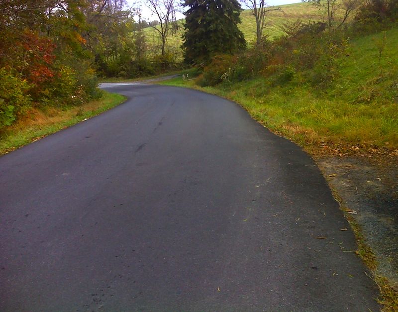
mm 1.9 There is a short road walk along VA 638. This view is looking northbound, The trail north towards VA 55 goes to the right near the curve in the picture. There is possible parking on the right for perhaps one car. GPS N38.8972 W78.0718
Submitted by pjwetzel @ gmail.com
Denton Shelter and fire pit at mile 3.0
Submitted by ideanna656 @ aol.com
Side view of Denton Shelter showing covered picnic area. (mile 3.0)
Submitted by ideanna656 @ aol.com
Shower at Denton Shelter. (mile 3.0)
Submitted by ideanna656 @ aol.com
Trail passing under fallen tree. (mile 3.8)
Submitted by ideanna656 @ aol.com

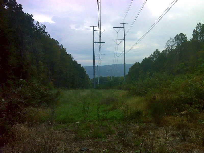
mm 3.9 Limited view along power line on a rainy day. GPS N38.8852 W78.0935
Submitted by pjwetzel @ gmail.com
Trail passing through mature trees at mile 4.0
Submitted by ideanna656 @ aol.com
Old stone wall adjacent to trail at mile 4.6
Submitted by ideanna656 @ aol.com