VA Section 6 Pictures - Milemarker 0.0 - 2.9
US 522 - Tom Floyd Wayside
Move your mouse across the pictures for more information.
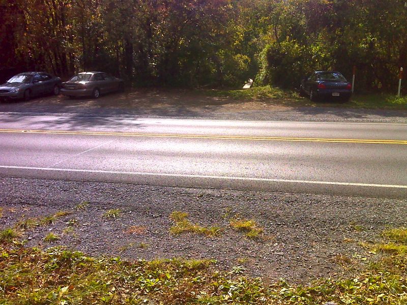
mm 0.0 Trail Crossing and parking at US 522 near Front Royal. GPS N38.8782 W78.1506
Submitted by pjwetzel @ gmail.com
View of AT from US 522 at mile 0.0
Submitted by ideanna656 @ aol.com
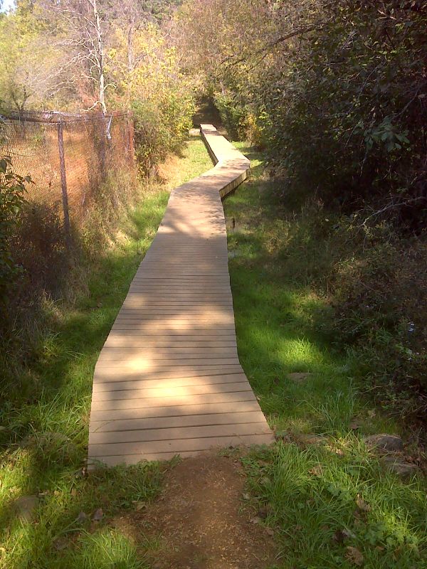
Boardwalk across swampy area just south of US 522. GPS N38.8771 W78.1513
Submitted by pjwetzel @ gmail.com
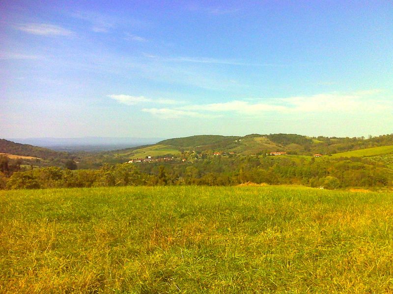
The AT follows the eastern boundary of the National Zoological Park for miles. GPS N38.8726 W78.1542
Submitted by pjwetzel @ gmail.com
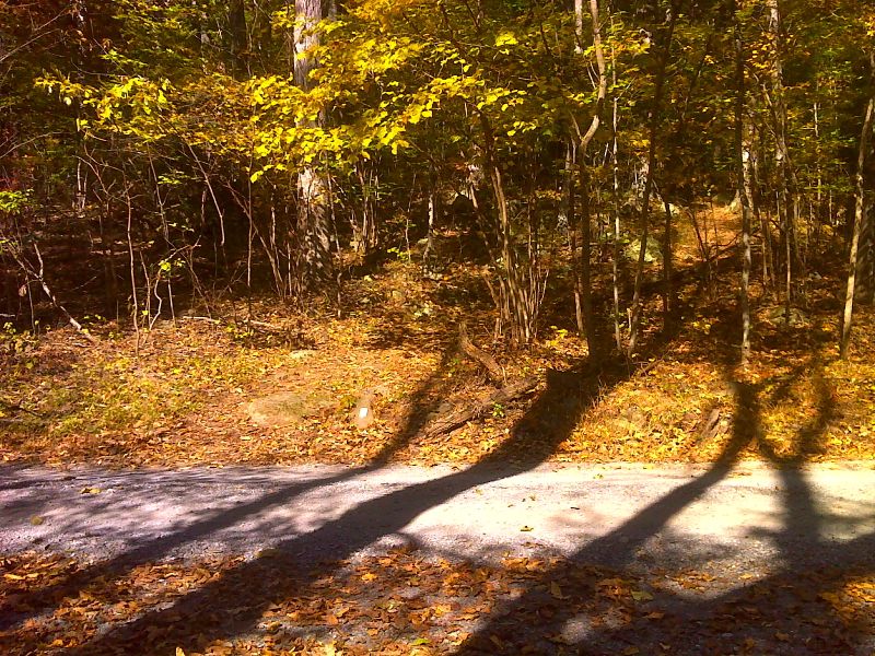
mm 1.4 AT crossing of VA 602. GPS N38.8640 W78.1626
Submitted by pjwetzel @ gmail.com
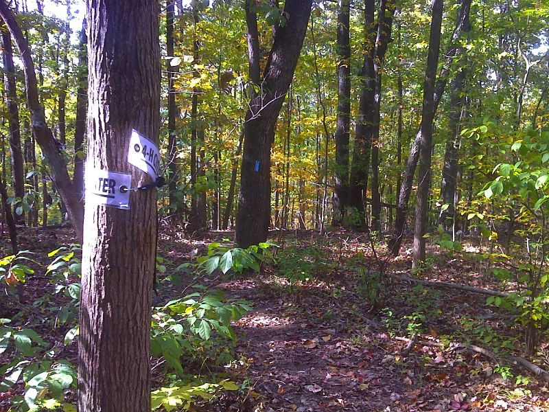
mm 2.0 Side Trail to Northern Virginia 4-H Center. GPS N38.8571 W78.1667
Submitted by pjwetzel @ gmail.com
Tom Floyd Wayside shelter at mile 2.9
Submitted by ideanna656 @ aol.com
Side view of Tom Floyd Wayside Shelter at Mile 2.9
Submitted by ideanna656 @ aol.com