VA Section 7 Pictures - Milemarker 6.5 - 12.0
Jeremy's Run Trail - Pass Mt. Viewpoint
Move your mouse across the pictures for more information.
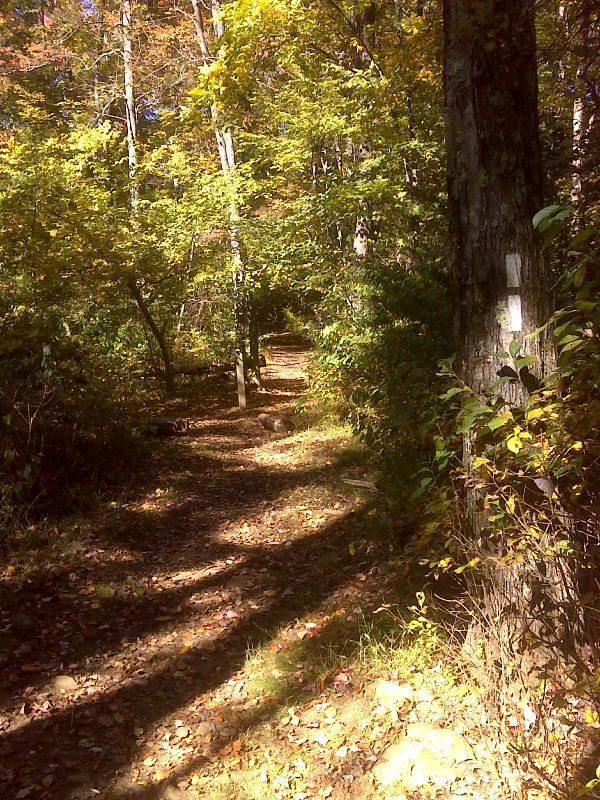
mm 6.5 Junction with the Jeremys Run Trail near the Elk Wallow Picnic Area. GPS N38.7437 W 78.3145
Submitted by pjwetzel @ gmail.com
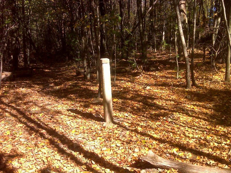
mm 8.7 Junction with the Thornton River Trail. This leads downhill 0.3 miles to Skyline Drive and a parking area (MP 25.4). GPS N38.7216 W 78.3242
Submitted by pjwetzel @ gmail.com
mm 9.8 Neighbor Mountain Parking Area is the starting point for a horse trail, but can also be used to get to the AT.
Submitted by MalteseCross @ Comcast.net
mm 9.8 Neighbor Mountain Parkinga Area. Trail to the AT is on the right.
Submitted by MalteseCross @ Comcast.net
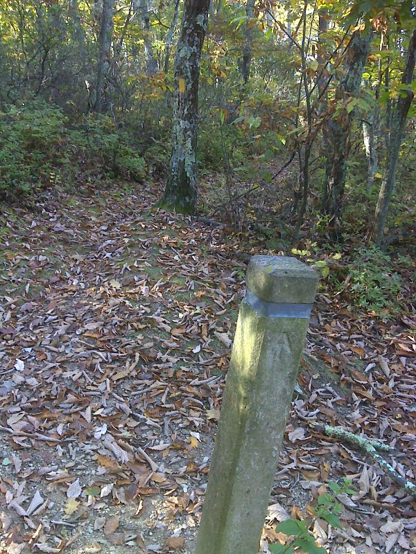
mm 10.1 Junction with the Neighbor Mountain Trail. GPS N38.7034 W 78.3321
Submitted by pjwetzel @ gmail.com
mm 11.1 Beahms Gap Overlook Parking Area
Submitted by MalteseCross @ Comcast.net
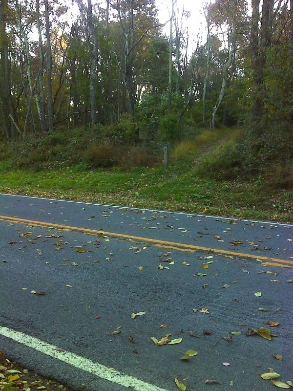
mm 11.4 AT crosses Skyline Drive just south of Beahms Gap parking area (MP 28.6) GPS N38.6940 W 78.3197
Submitted by pjwetzel @ gmail.com
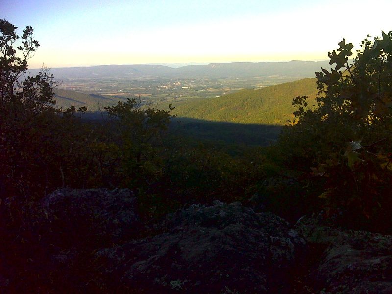
Pass Mountain viewpoint looking west. GPS N38.6870 W 78.3169
Submitted by pjwetzel @ gmail.com