VA Section 8 Pictures - Milemarker 0.0 - 1.9
Thornton Gap (US 211) - Mary's Rock
Move your mouse across the pictures for more information.
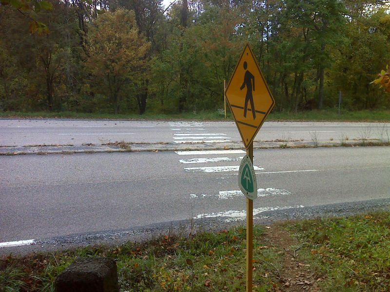
mm 0.0 Trail crossing of US 211 in Thornton Gap. GPS N38.6611 W78.3234
Submitted by pjwetzel @ gmail.com

About half of the lower lot at Thorton Gap, entered directly from U.S. Highway 211 with no need to get on Skyline Drive. The entrance to the upper lot is on Skyline Drive, just after entering the Park from Highway 211. The two lots are connected by a few stairs. There is no gate, station, or sign indicating a charge to park in this lower lot.
Submitted by maltesecross @ comcast.net
Parking at Panorama is just south of the entrance from US Highway 211. Restrooms and educational signs are at the entrance from Skyline Drive.
Submitted by MalteseCross @ Comcast.net
The spur trail, which is a short walk to the AT, is at the turn-around of the upper lot, on the side opposite to the entrance from Skyline Drive. It is shown by the red arrow added to this photo.
Submitted by MalteseCross @ Comcast.net

Looking southeast from slopes north of Marys Rock. GPS N38.6532 W78.3142
Submitted by pjwetzel @ gmail.com

mm 1.9 - View N from Mary's Rock at north end of Central Division of Shenandoah National Park.
Submitted by dlcul @ conncoll.edu

mm 1.9 - View North from Mary's Rock
Submitted by dlcul @ conncoll.edu

mm 1.9 - View West over Shenandoah Valley from Mary's Rock.
Submitted by dlcul @ conncoll.edu
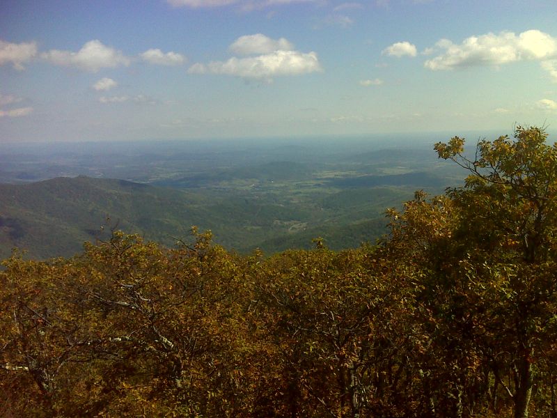
mm 1.9 View east from Marys Rock. GPS N38.6505 W78.3173
Submitted by pjwetzel @ gmail.com