VA Section 8 Pictures - Milemarker 1.9 - 4.1
Mary's Rock - Pinnacles
Move your mouse across the pictures for more information.

mm 1.9 Thornton Gap from Marys Rock. GPS N38.6504 W78.3174
Submitted by pjwetzel @ gmail.com
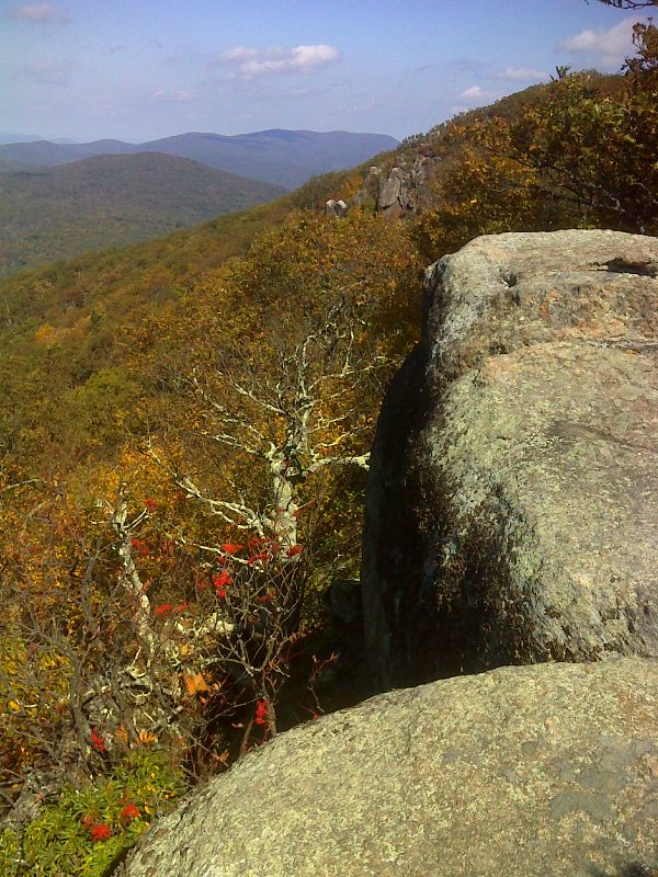
Looking towards Marys Rock from a viewpoint to its south. GPS N38.6474 W78.3196
Submitted by pjwetzel @ gmail.com

View South from near Mary's Rock. Taken at approx. MM 2.2
Submitted by dlcul @ conncoll.edu
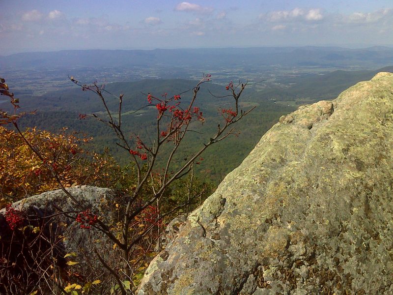
View with berries south of Marys Rock. Taken at approx. mm 2.6. GPS N38.6413 W78.3219
Submitted by pjwetzel @ gmail.com
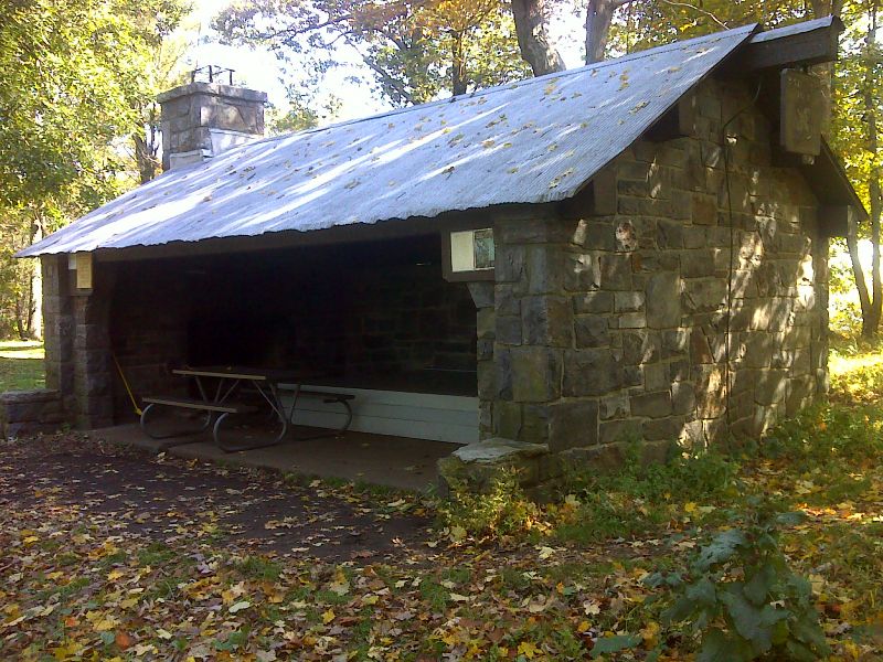
mm 3.2 Byrds Nest 3 shelter. GPS N38.6344 W78.3238
Submitted by pjwetzel @ gmail.com

View North along Ridge to Mary's Rock
Submitted by dlcul @ conncoll.edu
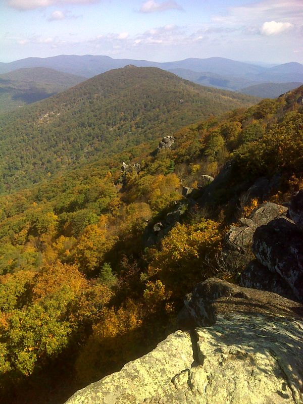
Fall shot along ridge towards Marys Rock from the Pinnacles summit viewpoint. GPS N38.6287 W78.3291
Submitted by pjwetzel @ gmail.com
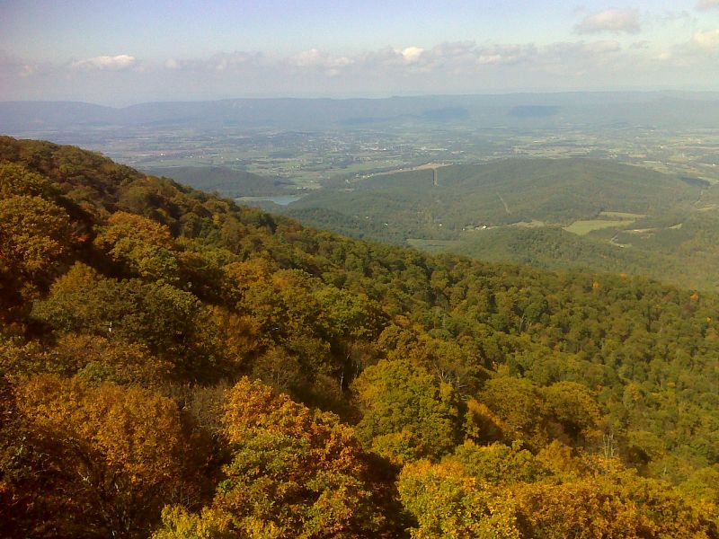
View to the west from the Pinnacles summit viewpoint. GPS N38.6287 W78.3291
Submitted by pjwetzel @ gmail.com