VA Section 8 Pictures - Milemarker 5.2 - 7.6
Jewell Hollow - South of Hughes Gap
Move your mouse across the pictures for more information.
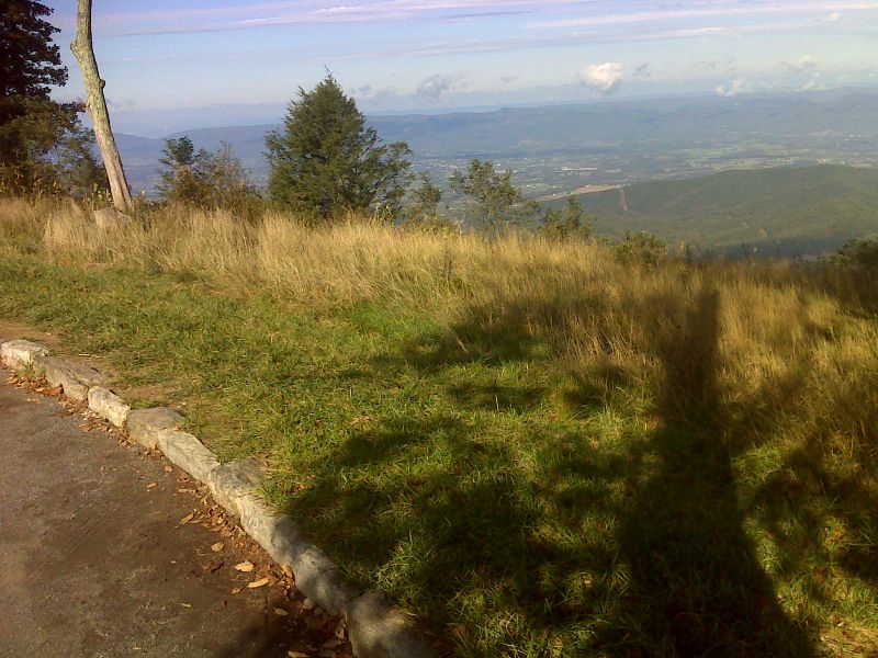
mm 5.2 View to the west from unmarked access trail at north end of Jewell Hollow Overlook GPS N38.6275 W78.3385
Submitted by pjwetzel @ gmail.com
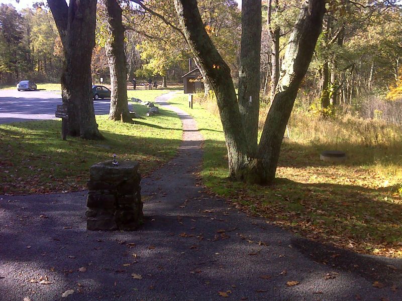
mm 5.4 Water fountain right on trail in Pinnacles Picnic Area. GPS N38.6240 W78.3434
Submitted by pjwetzel @ gmail.com
mm 5.4 - Parking at Pinnacles Picnic Ground. Sign at far left describes the AT paved section here. Cabin behind cars is restroom with flush toilets. Covered shelter on right has four fireplaces.
Submitted by MalteseCross @ Comcast.net
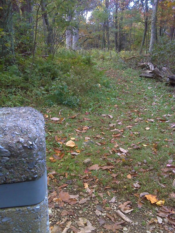
mm 6.4 A short access trail leads to the Corbins Cabin parking area on Skyline Drive. (MP 37.9). GPS N38.6160 W 78.3607
Submitted by pjwetzel @ gmail.com
mm 6.4 - Parking spaces at Corbin Cabin Trail
Submitted by MalteseCross @ Comcast.net
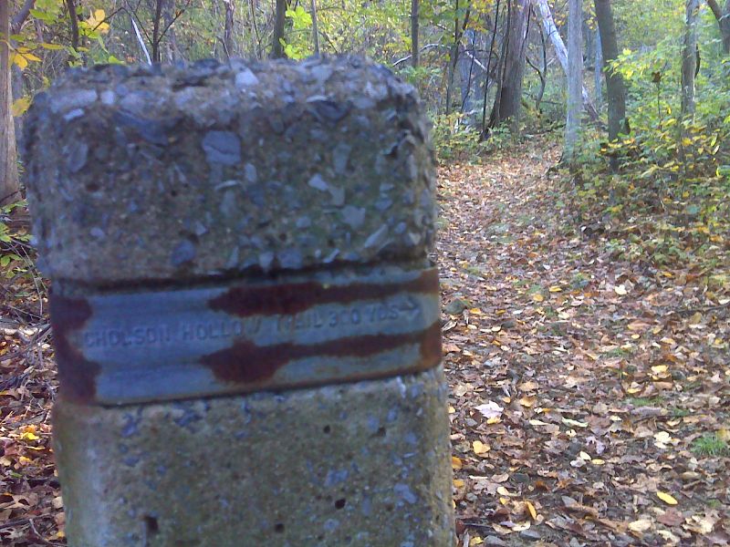
mm 7.1 Junction with the Nicholson Hollow Trail. GPS N38.6146 W78.3607
Submitted by pjwetzel @ gmail.com
mm 7.5 - Large parking lot for Stony Man Mountain Overlook. It is also known as Hughes River Gap.
Submitted by MalteseCross @ Comcast.net

mm 7.5 - Large parking lot for Stony Man Mountain Overlook. It is also known as Hughes River Gap.
Submitted by dlcul @ conncoll.edu