VA Section 8 Pictures - Milemarker 7.6 - 9.5
South of Hughes Gap - Stony Man Nature Trail Parking Area
Move your mouse across the pictures for more information.
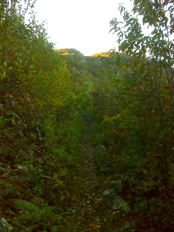
Stonyman and Little Stonyman from trail south of Hughes Gap. GPS N38.6075 W78.3666
Submitted by pjwetzel @ gmail.com
mm 7.9 - Parking area for trail to Little Stony Man Viewpoint, which is part of the AT. Sign in photo has out-dated map showing Passamaquoddy Trail as part of the AT - watch the blazes instead.
Submitted by MalteseCross @ Comcast.net
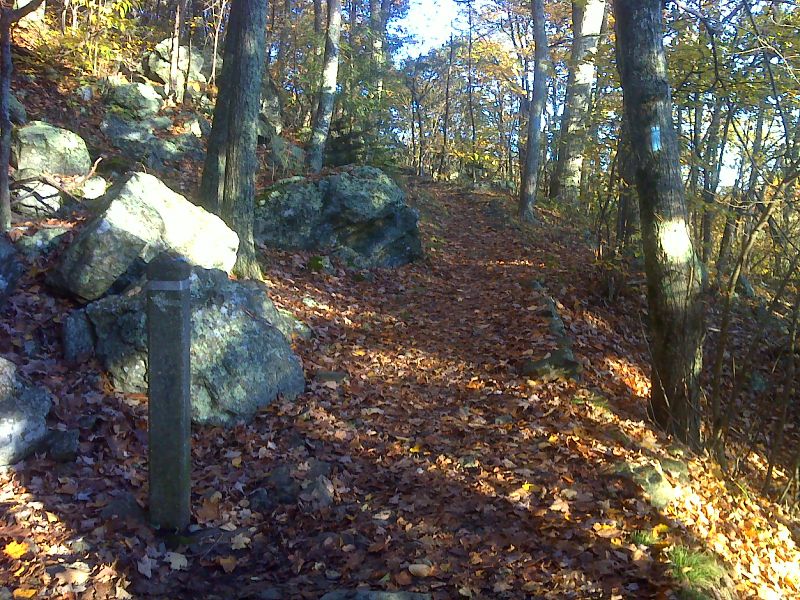
mm 8.2 Junction with the blue-blazed Passamaquoddy Trail. This blue-blazed trail leads south to Skyland in 1.4 miles. GPS N38.6031 W78.3663
Submitted by pjwetzel @ gmail.com
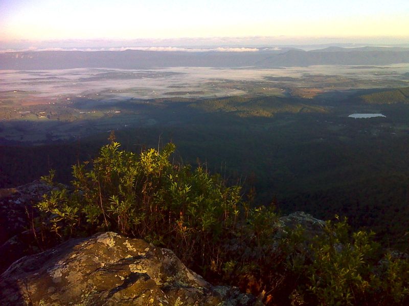
mm 8.4 Early morning view to the west from Little Stonyman. GPS N38.6033 W78.3676
Submitted by pjwetzel @gmail.com
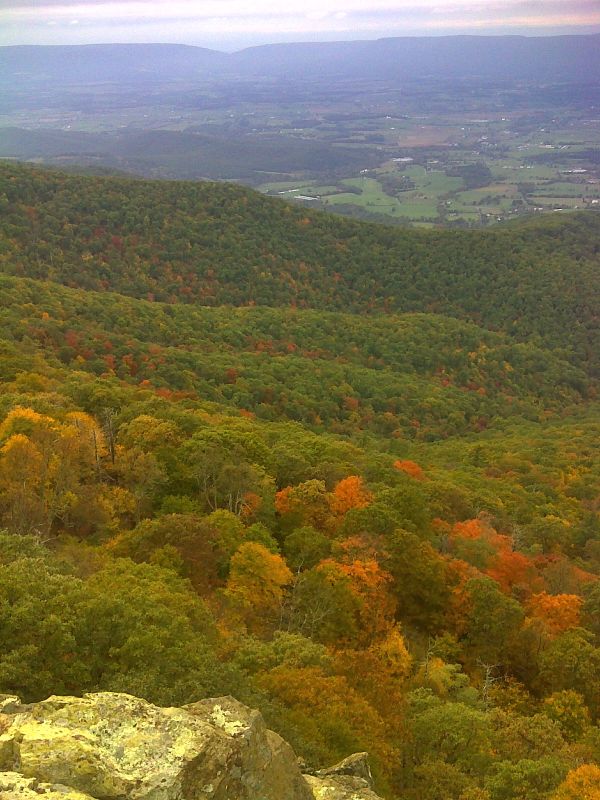
mm 8.4 View to the west from Little Stonyman. GPS N38.6031 W78.3681
Submitted by pjwetzel @ gmail.com
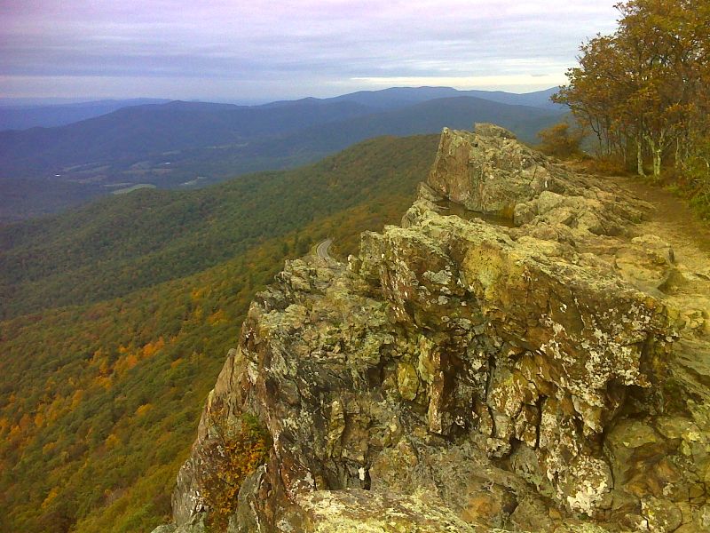
mm 8.4 View to the north from Little Stonyman. GPS N38.6031 W78.3681
Submitted by pjwetzel @ gmail.com
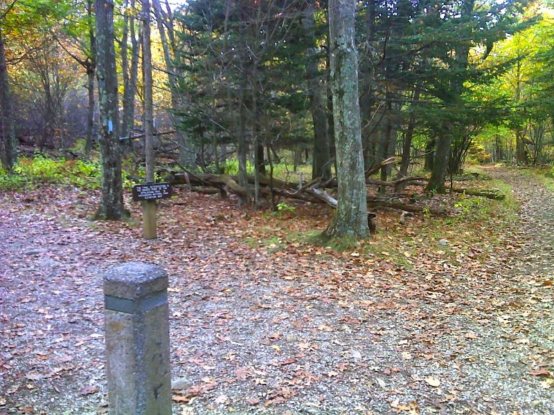
mm 9.1 Junction with the side trail to the summit of Stonyman. This junction is the highest point on the AT in Shenandoah National Park. GPS N38.5966 W78.3704
Submitted by pjwetzel @ gmail.com
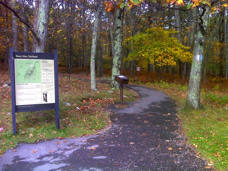
mm 9.5 The northbound AT leaves the parking lot for the Stonyman Nature Trail at the north end of Skyland. The AT and the Nature Trail coincide here. GPS N38.5932 W78.3756
Submitted by pjwetzel @ gmail.com