VA Section 9 Pictures - Milemarker 0.0 - 2.0
Skyland - Timber Hollow verlook
Move your mouse across the pictures for more information.
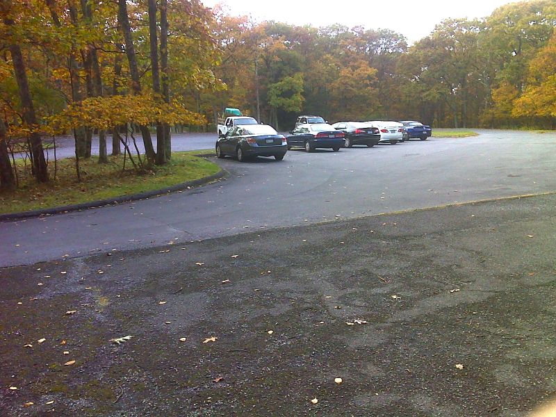
mm 0.0 Stonyman parking lot on north side of Skyland. GPS N38.5932 W78.3756
Submitted by pjwetzel @ gmail.con
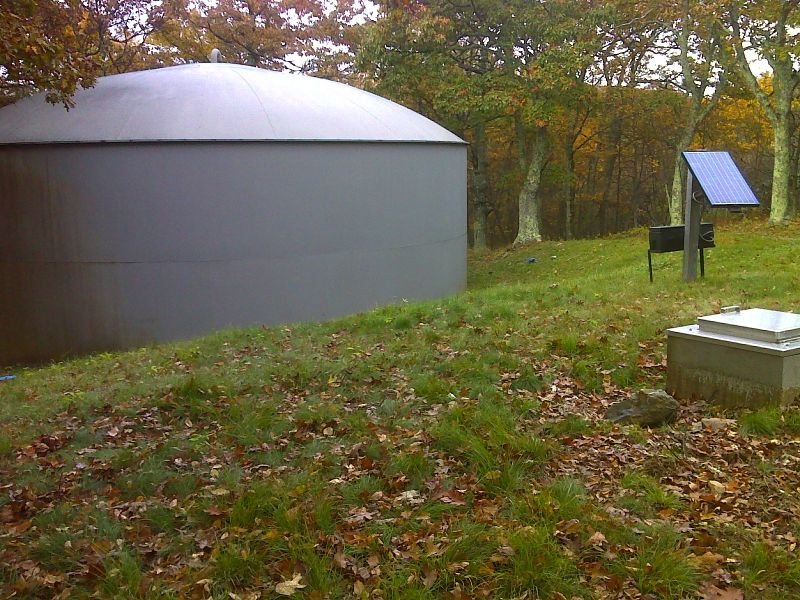
mm 0.0 Skyland water tank. GPS N38.5915 W78.3795
Submitted by pjwetzel @ gmail.con
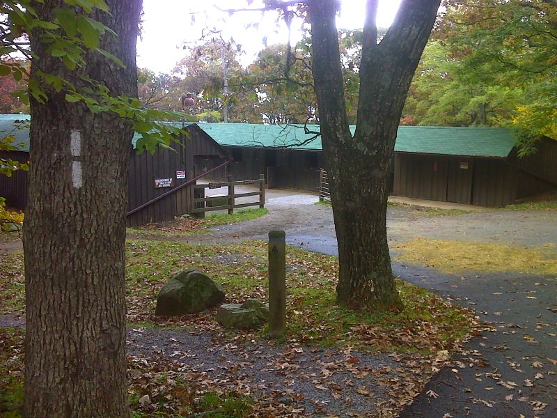
mm 0.8 The stables at Skyland are just to the west of the trail on the south entrance road. GPS N38.5874 W78.3841
Submitted by pjwetzel @ gmail.con
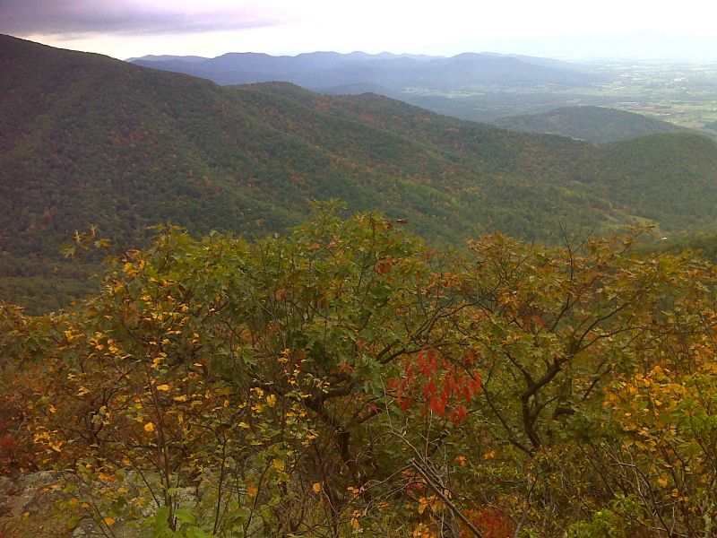
mm 1.1 View southwest from Pollock Knob. GPS N38.5787 W78.3853
Submitted by pjwetzel @ gmail.con
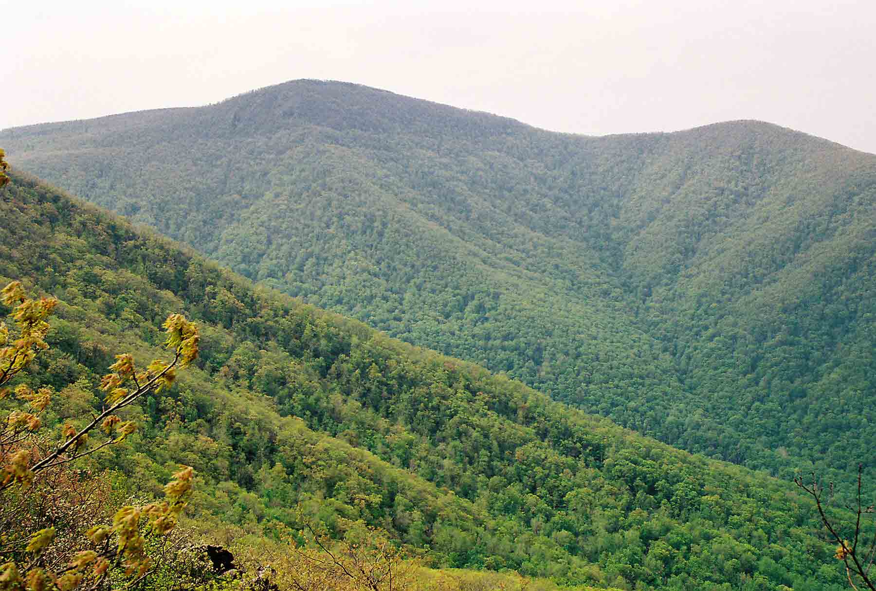
View of Hawksbill, highest mountain in Shenandoah National Park, from the north. The line of the AT can be seen as it traverses the side of Hawksbill from Hawksbill Gap on the far left of the picture to the col between Hawksbill and the peak to its right. Taken at approx. MM 1.3.
Submitted by dlcul @ conncoll.edu

Pollock Knob south of Skyland. Taken at approx. MM 1.3.
Submitted by dlcul @ conncoll.edu
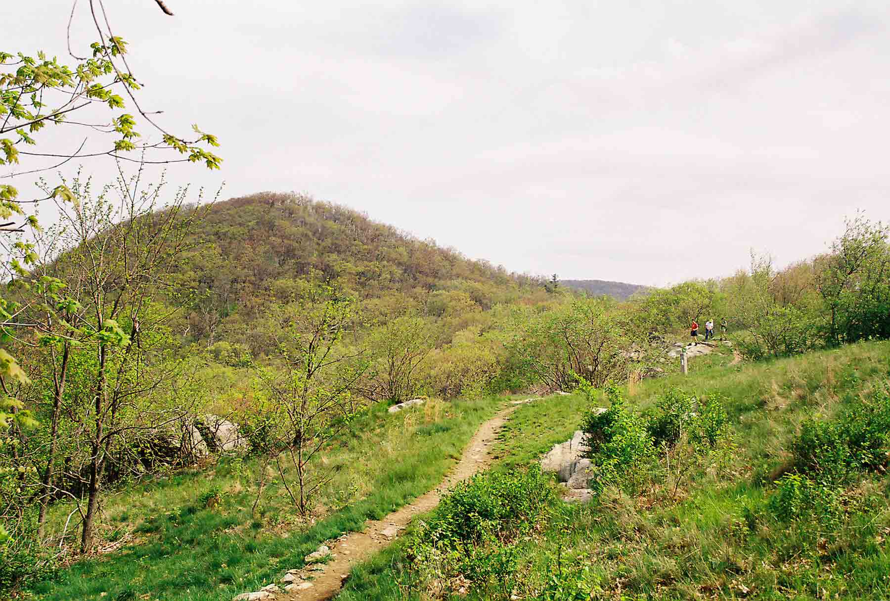
AT near Pollock Knob south of Skyland. Taken at approx. MM 1.3.
Submitted by dlcul @ conncoll.edu
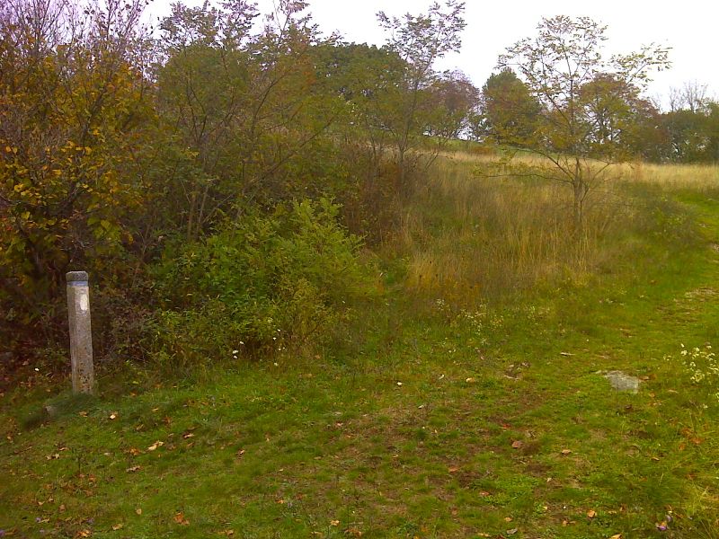
mm 2.0 Side trail to Timber Hollow Overlook. GPS N38.5748 W78.3846
Submitted by pjwetzel @ gmail.con