VA Section 9 Pictures - Milemarker 4.6 - 6.5
Rock Spring Hut - Fisher's Gap
Move your mouse across the pictures for more information.
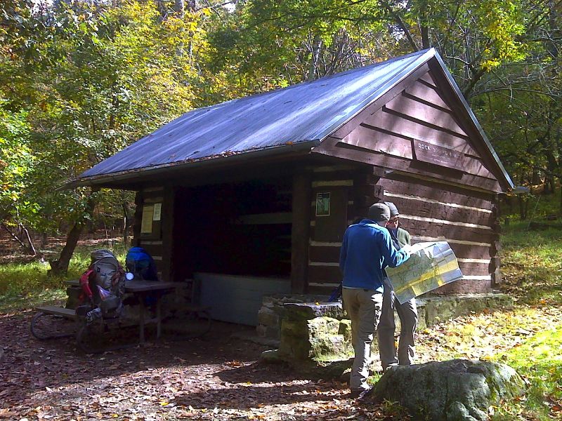
mm 4.6 Rock Spring Hut located 0.2 miles off the AT via a blue-blazed trail. GPS N38.5535 W78.4084
Submitted by pjwetzel @ gmail.com
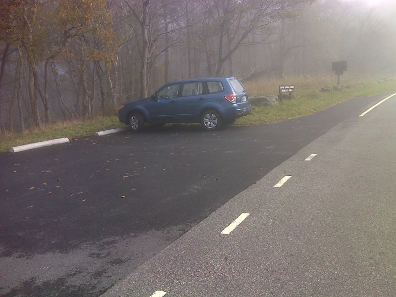
mm 5.2 Parking for Rock Springs Cabin. This is just north of the Spitler Knob Overlook. A short access trail leads to the AT. GPS N38.5535 W78.4084
Submitted by pjwetzel @ gmail.com

Maple in fog north of Fishers Gap. GPS N38.5397 W78.4187
Submitted by pjwetzel @ gmail.com

Foggy woods north of Fishers Gap. GPS N38.5395 W78.4189
Submitted by pjwetzel @ gmail.com
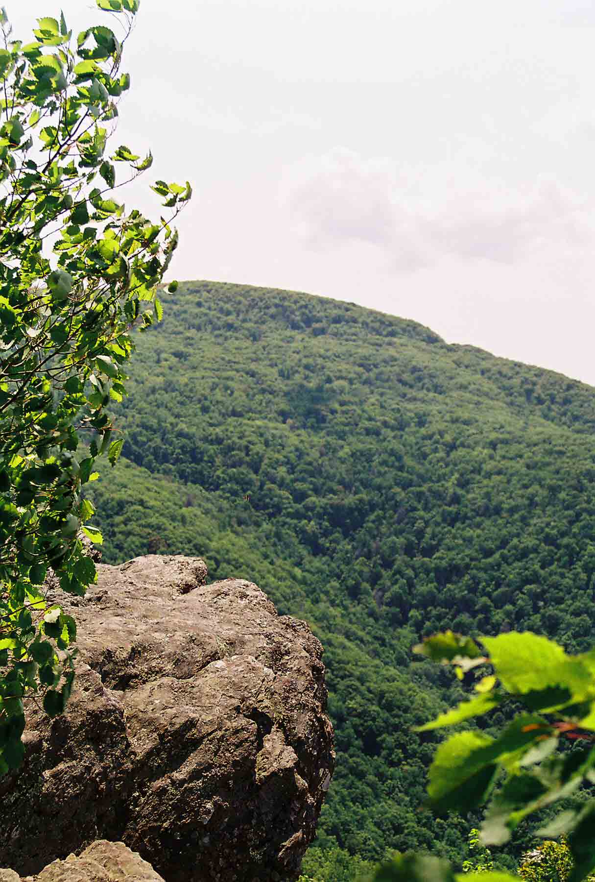
View south from AT north of Fisher's Gap. The Big Meadows developed area is at the top of the hill in picture.
Submitted by dlcul @ conncoll.edu