VT Section 1 Pictures - Milemarker 2.4 - 5.8
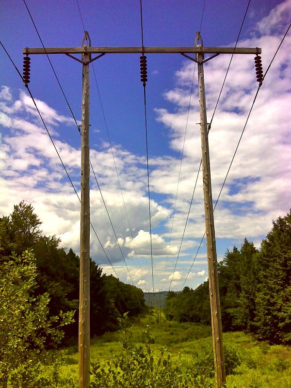
Power Line Crossing - High Point On Griggs Mt.
Move your mouse across the pictures for more information.

mm 2.4 Power line crossing 0.6 miles from Elm St. Trailhead. GPS N43.7068 W72.3295
Submitted by pjwetzel @ gmail.com
mm 5.1 Parking at the end of the town maintained section of Happy Hill Road. From here the blue-blazed Tucker trail leas 0.8 miles to the AT, mostly following a closed section of Happy Hill Road.
Submitted by dlcul @ conncoll.edu
mm 5.1. Trail sign at intersection of the AT and the Tucker Trail
Submitted by dlcul @ conncoll.edu
mm 5.1 Intersection of the Tucker Trail and the AT. The Tucker trail goes straight ahead on a closed section of Happy Hill Road. The northbound AT goes right. The southbound AT follows the old road for some distance.
Submitted by dlcul @ conncoll.edu
mm 5.3 Intersection of the AT with the side trail to Happy Hill Shelter
Submitted by dlcul @ conncoll.edu
mm 5.3 Happy Hill Shelter
Submitted by dlcul @ conncoll.edu
mm 5.3 Happy Hill Shelter. If you look carefully you can see the loft inside the shelter.
Submitted by dlcul @ conncoll.edu
mm 5.8. High point of the trail on Griggs Mt.
Submitted by dlcul @ conncoll.edu