VT Section 1 Pictures - Milemarker 6.1 - 9.3
Old Road - West Hartford
Move your mouse across the pictures for more information.
The trail follows the remnants of old road as evidenced by the maple trees lining the road. taken at approx. mm 6.1
Submitted by dlcul @ conncoll.edu
mm 6.2 In this field the AT intersects with another trail (signed). According to the AT guide this is a snowmobile trail.
Submitted by dlcul @ conncoll.edu
mm 7.8 The southbound trail crosses Podunk Brook shortly before it reaches Podunk Road.
Submitted by dlcul @ conncoll.edu
mm 7.9 Northern crossing of Podunk Road. Note there is a small-off suitable for parking on the right side. There are other similar spots in the vicinity, but parking in general is limited.
Submitted by dlcul @ conncoll.edu
Yes, there is really a Podunk or at least a road by that name. The AT crosses it twice just east (trail north) of West Hartford, VT. This sign is at the crossing at the intersection with Tigertown Road at mm 8.7.
Submitted by dlcul @ conncoll.edu
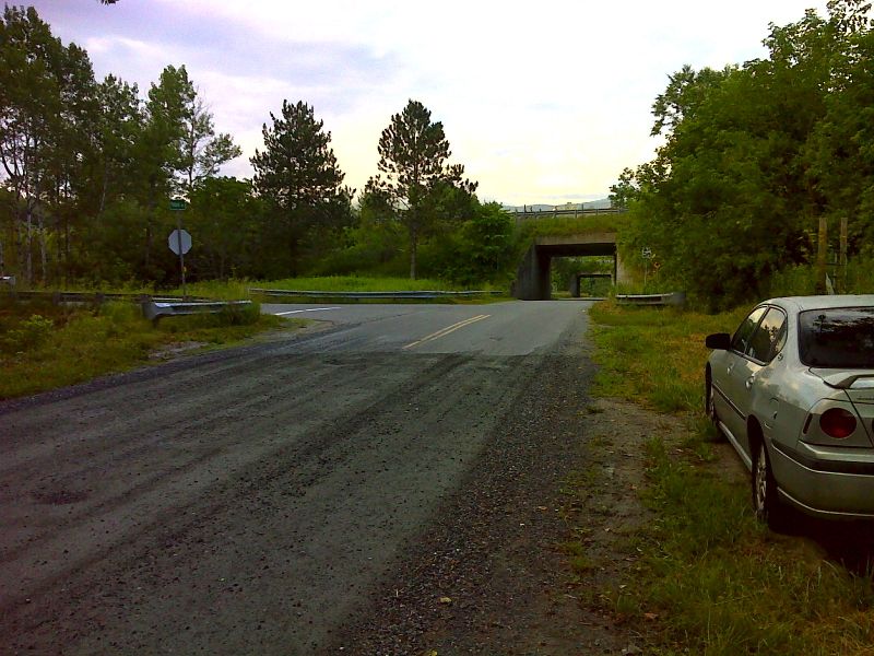
mm 8.7 Parking at the intersection of Podunk Road and Tigertown Road near West Hartford, VT. I-89 is in the background.
Submitted by dlcul @ conncoll.edu

mm 8.7 Junction of Podunk Road and Tigertown Road showing alternate roadside parking. GPS N43.7212 W72.4132
Submitted by pjwetzel @ gmail.com

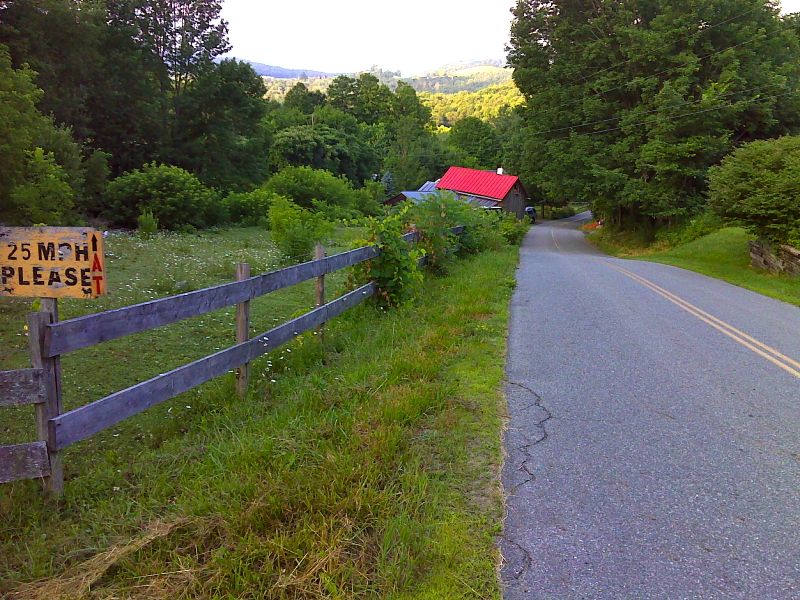
Road walk along Tigertown Road. GPS N43.7192 W72.4470
Submitted by pjwetzel @ gmail.com
'mm 9.3 Looking north along VT 14 in downtown West Hartford. The trail follows this road for about 0.3 miles.
Submitted by dlcul @ conncoll.edu