VT Section 2 Pictures - Milemarker 0.0 - 1.5
White River - Pastures South of West Hartford
Move your mouse across the pictures for more information.
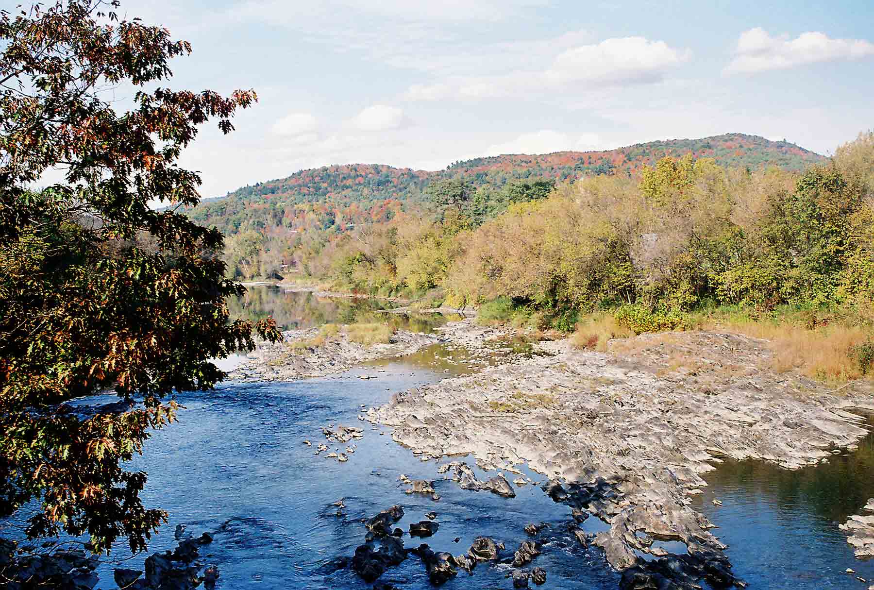
mm 0.0 - White River at West Hartford, VT.
Submitted by dlcul @ conncoll.edu
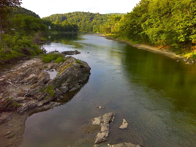
mm 0.0 Summer view of White River from bridge at West Hartford. GPS 43.7121 N72.4177
Submitted by pjwetzel @ gmail.com
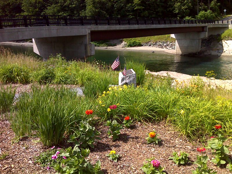
mm 0.1 Patriot Bridge across White River in West Hartford with memorial in foreground. GPS 43.7124 N72.4176
Submitted by pjwetzel @ gmail.com
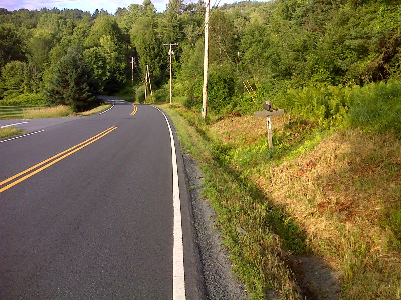
mm 0.3 After crossing the White River in West Hartford, the southbound trail follows the Quechee-West Hartford Road for 0.3 miles, then goes into the woods at this point. GPS 43.7107 N72.4228
Submitted by pjwetzel @ gmail.com
mm 1.0 - View East from the A.T., south of Route 14 in West Hartford
Submitted by lilmountaingirl @ gmail.com
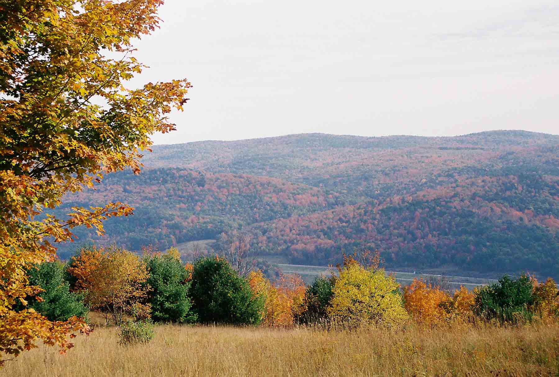
mm 1.0 - Looking east into White River Valley near West Hartford
Submitted by dlcul @ conncoll.edu
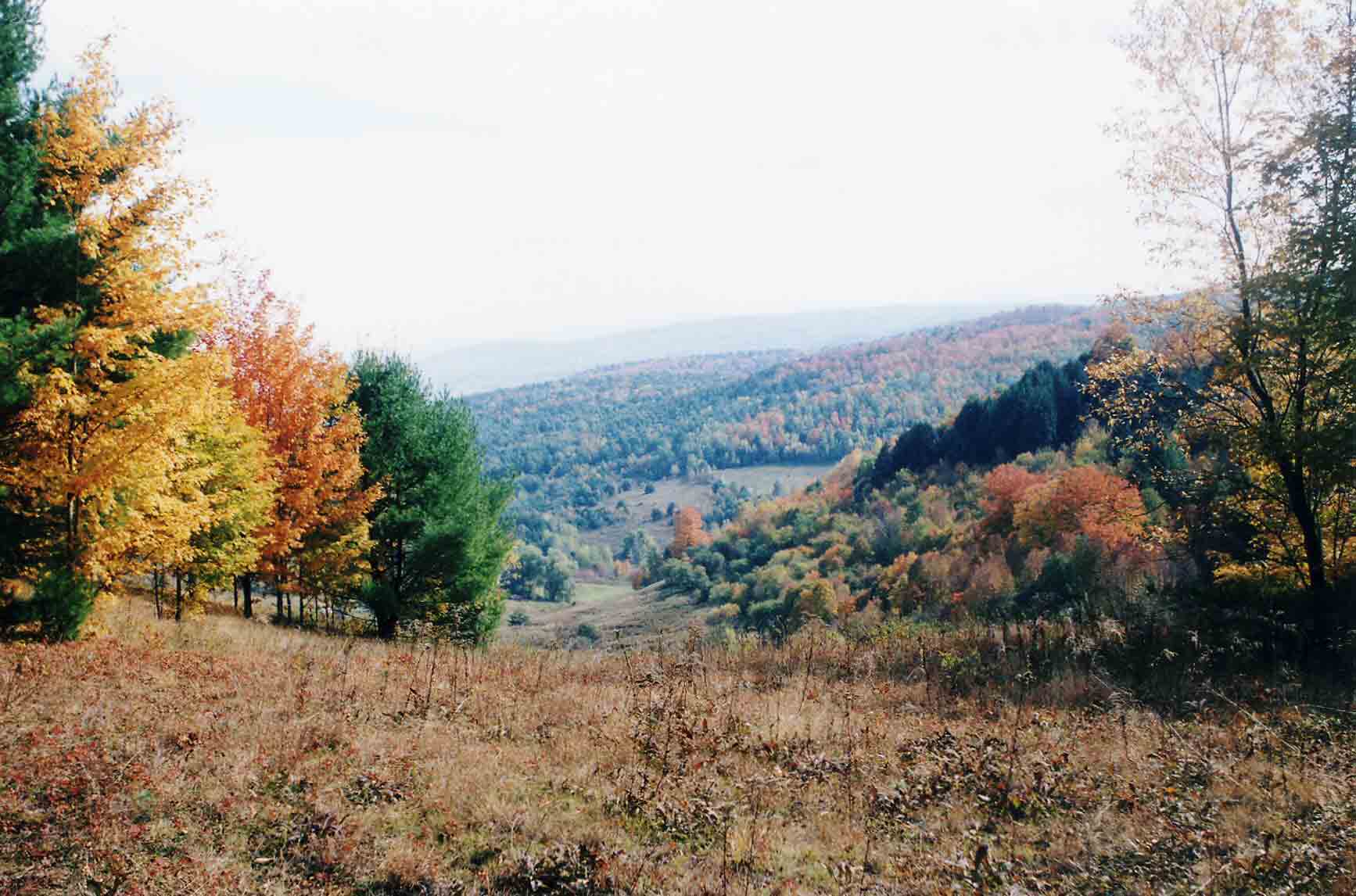
View from AT west (trail south) of West Hartford
Submitted by dlcul @ conncoll.edu
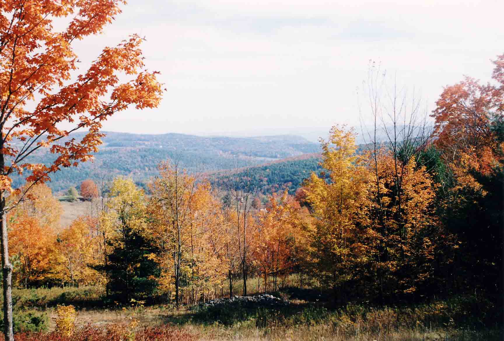
View down White River Valley
Submitted by dlcul @ conncoll.edu