VT Section 2 Pictures - Milemarker 5.3 - 7.5
Summit of Thistle Hill - Dupuis Hill
Move your mouse across the pictures for more information.
mm 5.3 Barry and Marsha at the summit of Thistle Hill (Elevation 1800 feet)
Submitted by dlcul @ conncoll.edu
mm 5.3 The trail passes through a pine grove at approx. mm 6.3.
Submitted by dlcul @ conncoll.edu
Cross power line right-of-way. The AT Guide says this is at mm 6.3, a mile from Cloudland Road, but I believe it is closer than that, perhaps at mm 6.6, a half mile from the road.
Submitted by dlcul @ conncoll.edu
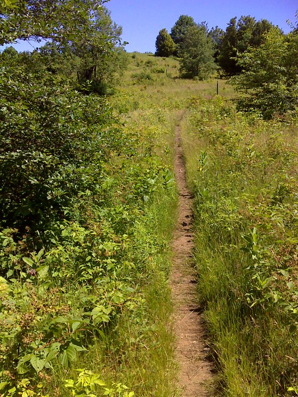
Dupuis Hill from field east (trail north) of Cloudland Road. Taken at approx. mm 6.8
Submitted by dlcul @ conncoll.edu
Field east (trail north) of Cloudland Road. Taken at approx. mm 7.0
Submitted by dlcul @ conncoll.edu
mm 7.1 Cloudland Road. Note roadside parking
Submitted by dlcul @ conncoll.edu
mm 7.1 Southbound trailhead at Cloudland Road
Submitted by dlcul @ conncoll.edu

Approaching the summit of Dupuis Hill. GPS N43.6849 W72.5101
Submitted by pjwetzel @ gmail.com