VT Section 2 Pictures - Milemarker 8.0 - 11.1
Old Road - Woodstock Stage Road
Move your mouse across the pictures for more information.
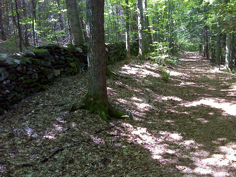
The AT follows this old road for 0.2 miles (from mm 8.0 - 8.2). This road is a remnant of the old Kings Highway. GPS N43.6804 W72.5141
Submitted by pjwetzel @ gmail.com
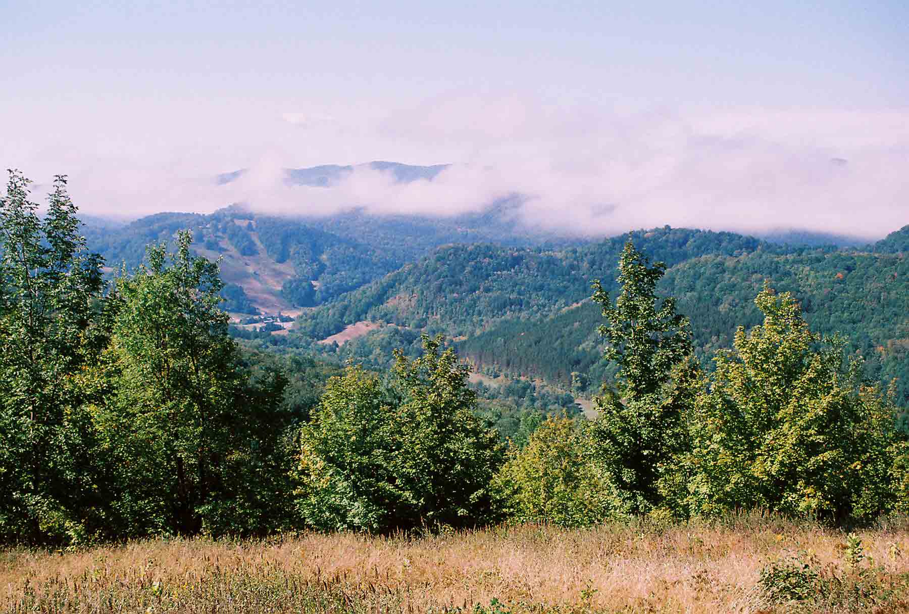
View from field between Cloudland Road and Pomfret-South Pomfret Road. View is valley is which South Pomfret is located. The ski area visible is the Suicide Six ski area. Taken at approx. Mile 8.3
Submitted by dlcul @ conncoll.edu
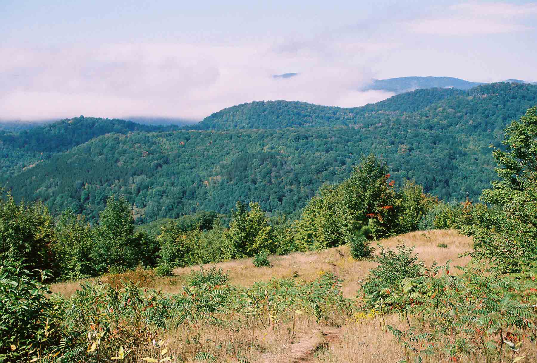
mm 8.3 - View west from field between Cloudland Road and Pomfret-South Pomfret Road
Submitted by dlcul @ conncoll.edu
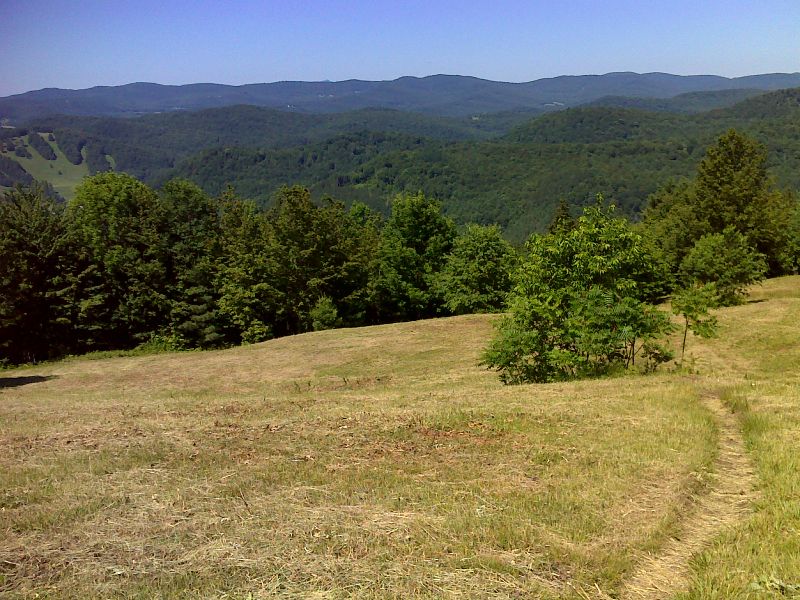
View from field just after the southbound trail leaves the old road. This view is similar to the previous photo but taken on a clearer day. Taken at mm 8.3. GPS N43.673 W72.5186
Submitted by pjwetzel @ gmail.com
mm 8.9 Pomfret-South Pomfret Road at the trail crossing. Notice parking pull-off on left (west) side of road.
Submitted by dlcul @ conncoll.edu
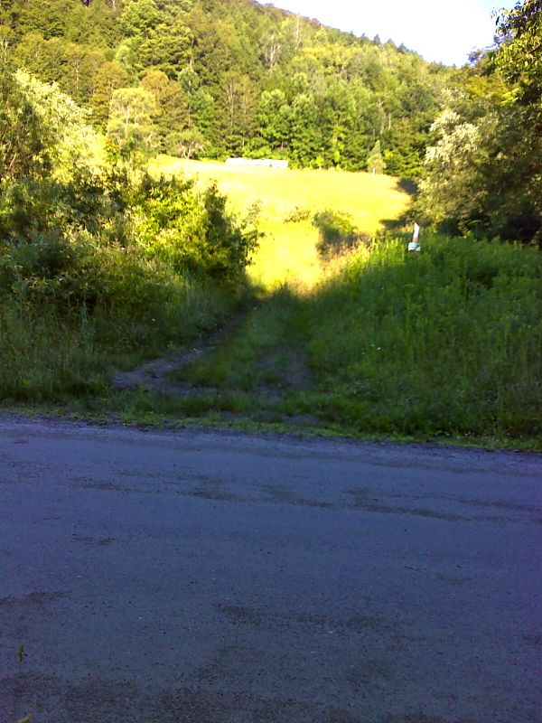
mm 9.6 The trail crosses Bartlett Brook Road. GPS N43.6850 W72.5348
Submitted by pjwetzel @ gmail.com
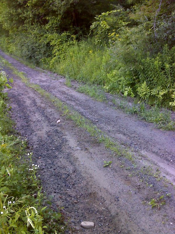
mm 10.3 Trail crosses narrow dirt Totman Road. GPS N43.6759 W72.5900
Submitted by pjwetzel @ gmail.com
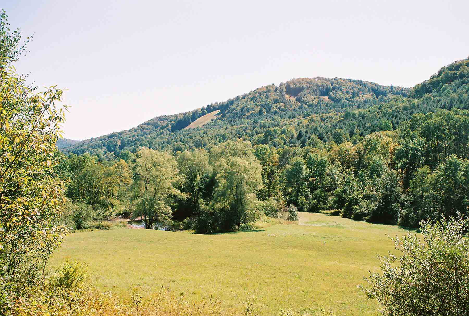
mm 11.1 - Just east of Woodstock Stage Road
Submitted by dlcul @ conncoll.edu