VT Section 2 Pictures - Milemarker 11.1 - 12.3
Woodstock Stage Road - Field on Dana Hill
Move your mouse across the pictures for more information.
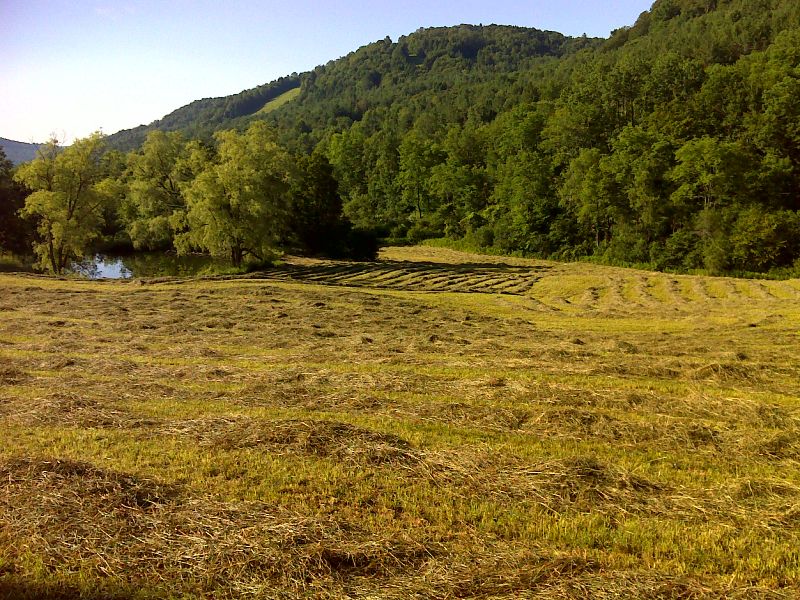
Hayfield just east (trail north) of Woodstock Stage Road. GPS N43.6730 W72.5531
Submitted by pjwetzel @ gmail.com
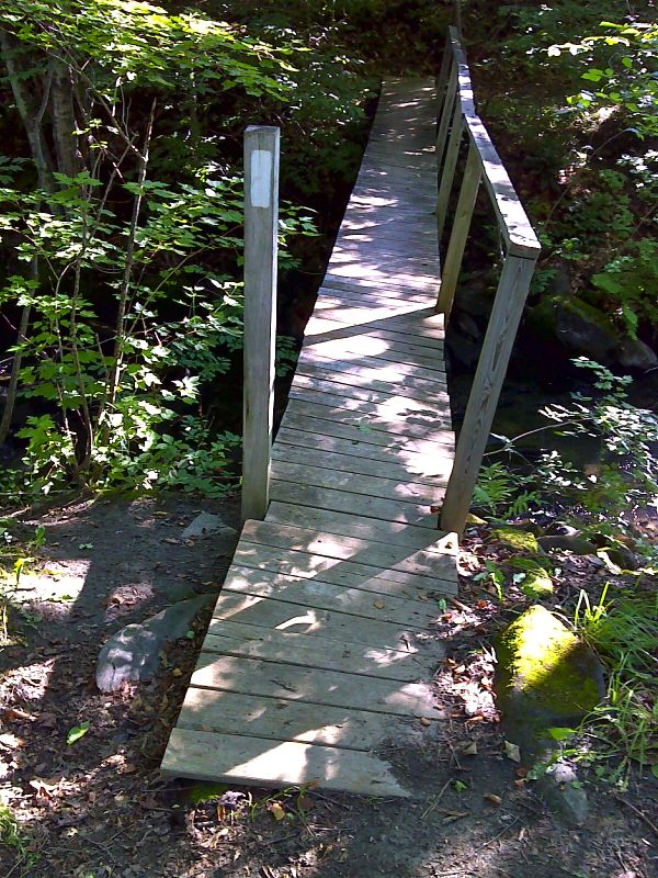
mm 11.1 Footbridge just east (trail north) of Woodstock Stage Road. GPS N43.6721 W72.5536
Submitted by pjwetzel @ gmail.com
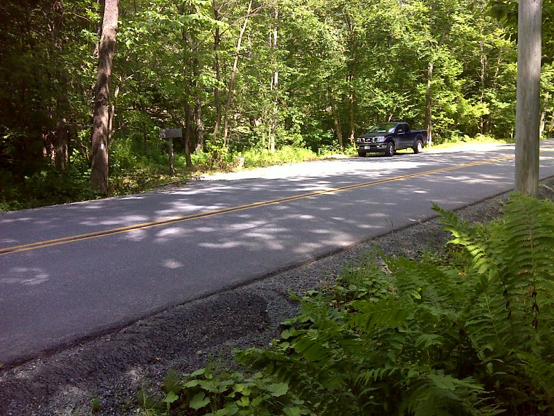
mm 11.1 Woodstock Stage Road. There is ample shoulder parking available. GPS N43.6719 W72.5542
Submitted by pjwetzel @ gmail.com
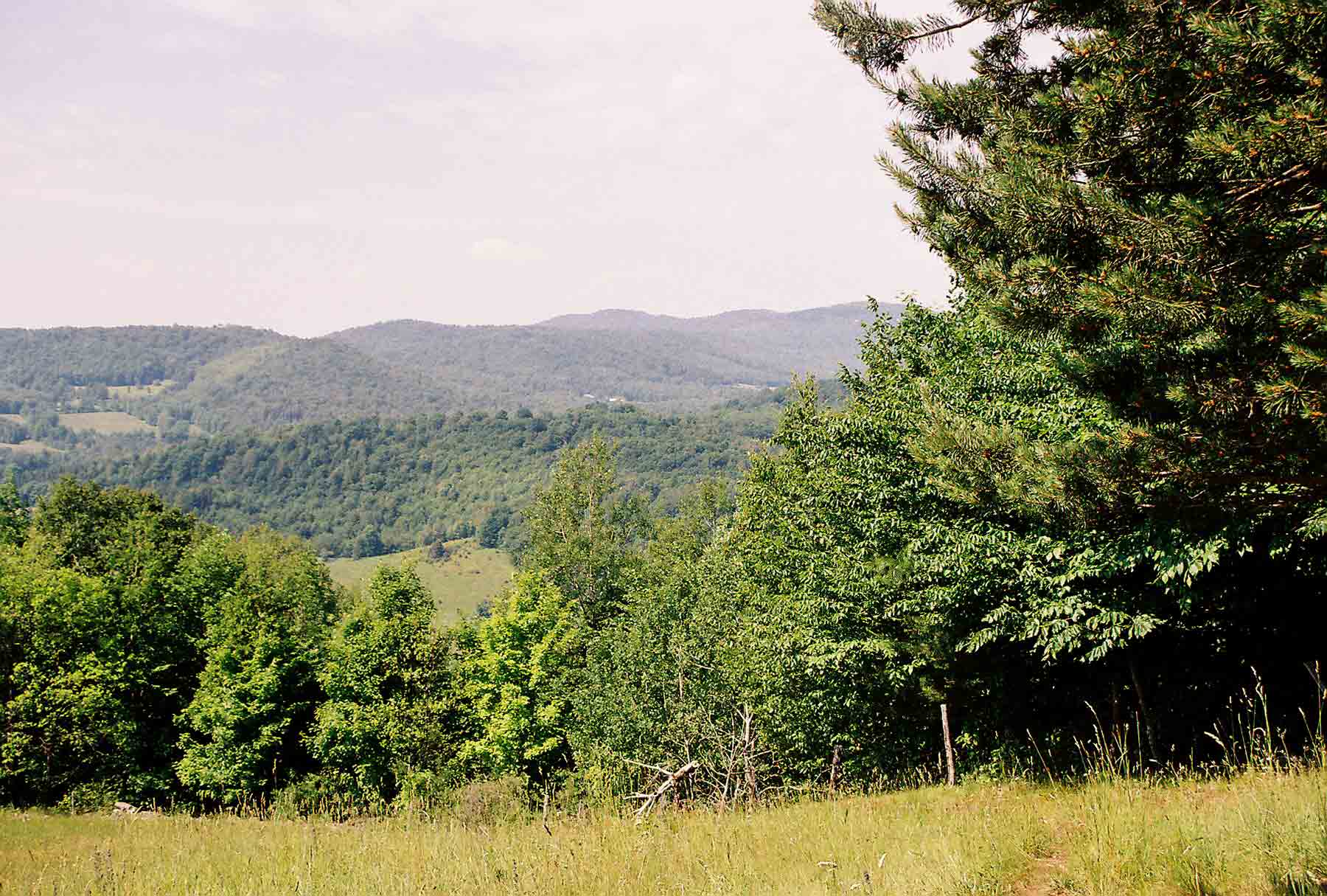
mm 12.3 - View west from pasture on side of Dana Hill
Submitted by dlcul @ conncoll.edu
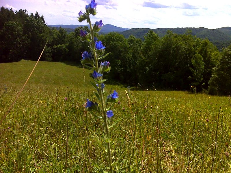
mm 12.3 High Meadow Vista from summit of Dana Hill. GPS N43.6719 W72.5542
Submitted by pjwetzel @ gmail.com