VT Section 3 Pictures - Milemarker 0.0 - 6.2
VT 12 - The Lookout
Move your mouse across the pictures for more information.
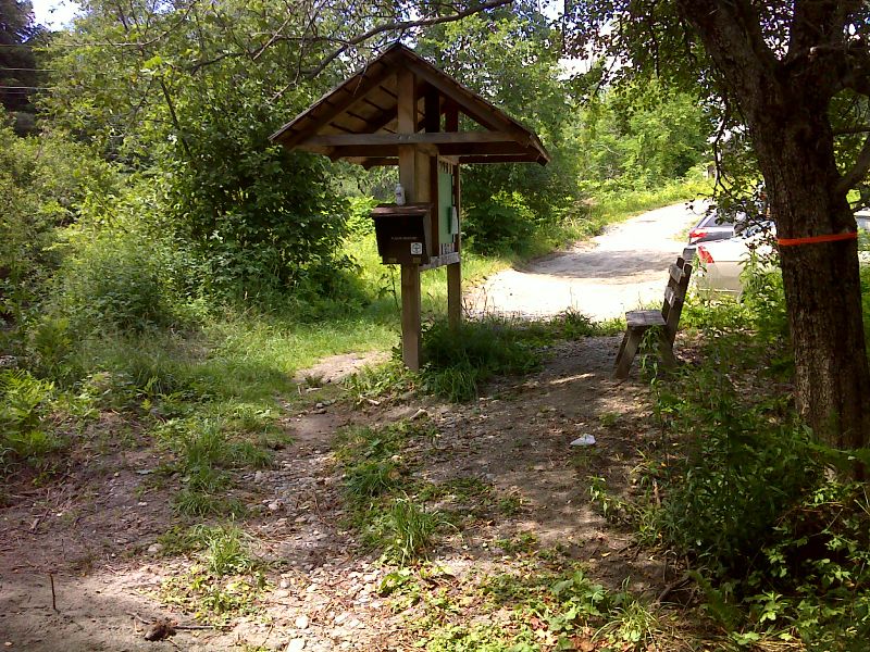
mm 0.0 Parking area and kiosk off VT 12. GPS N 43.6651 W72.5662
Submitted by pjwetzel @ gmail.com
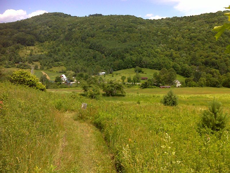
The northbound trail descends through a pasture towards VT 12. Taken at approx. mm 0.2. GPS N43.6548 W72.5721
Submitted by pjwetzel @ gmail.com
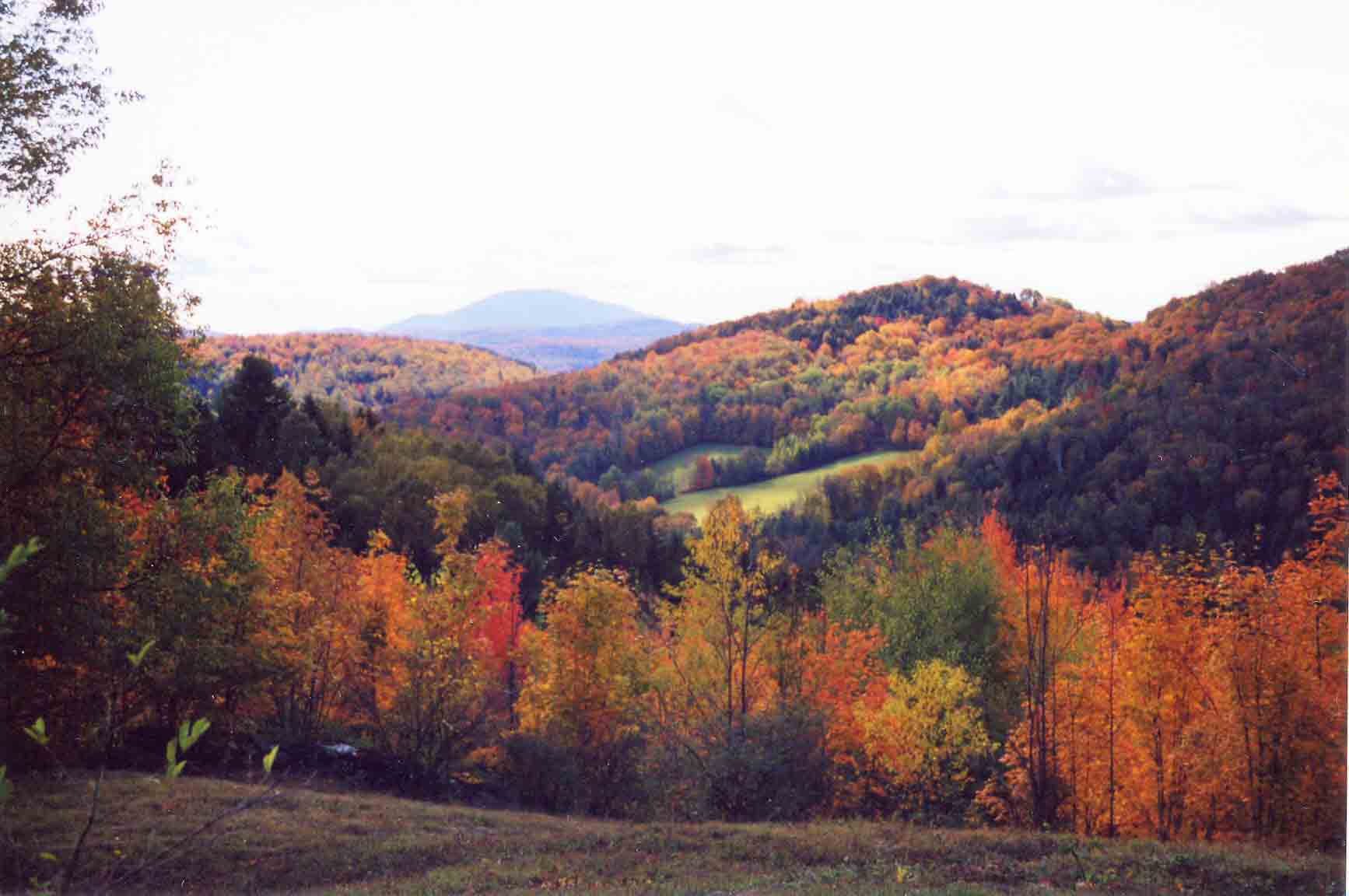
mm 1.2 - Fall view from AT west (trail south) of VT 12. Mountain in distance is Mt. Ascutney.
Submitted by dlcul @ conncoll.edu
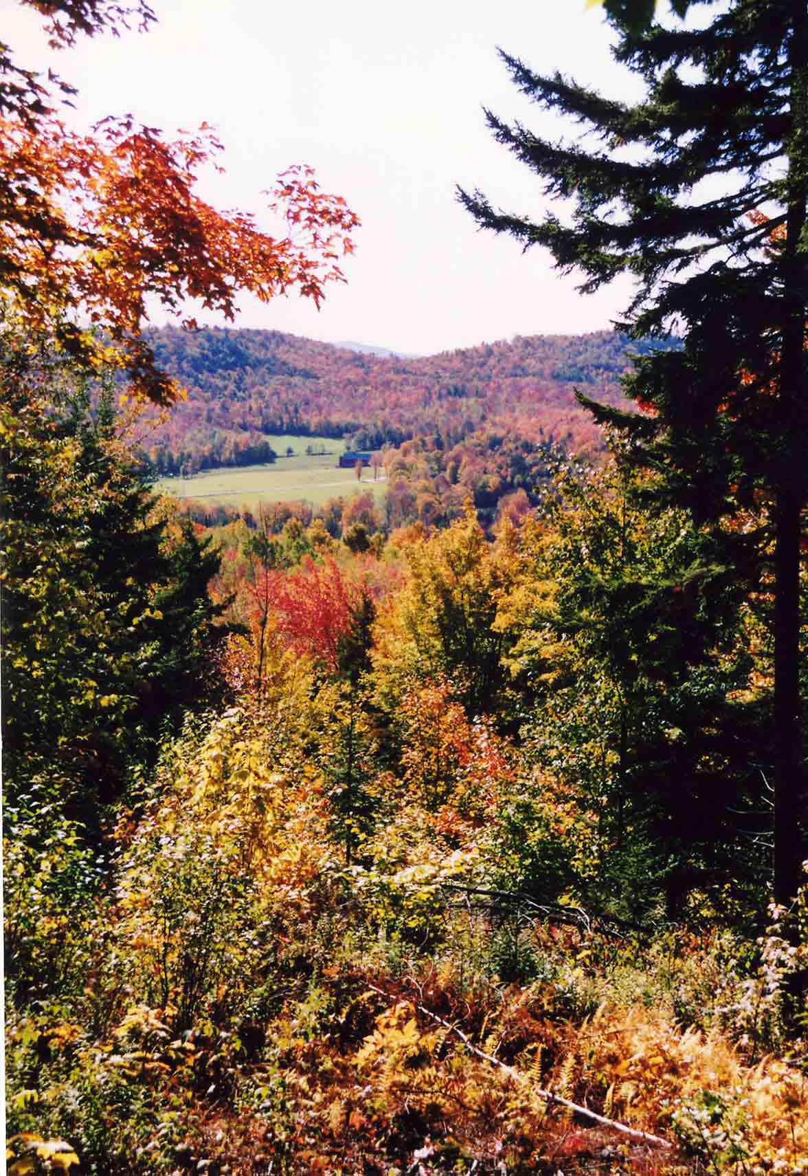
mm 2.8 - East (trail north) of Winturi Shelter, a short blue-blazed path goes south to a viewpoint from which this picture was taken.
Submitted by dlcul @ conncoll.edu
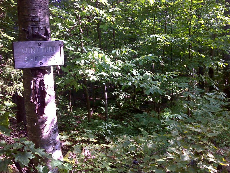
mm 3.8 Side trail to Wintturi Shelter. The shelter is 0.2 miles down this trail. GPS N43.6601 W72.6215
Submitted by pjwetzel @ gmail.com
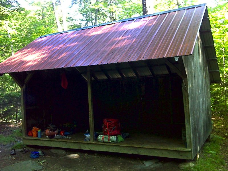
mm 3.8 Wintturi Shelter. GPS N43.6620 W72.6219
Submitted by pjwetzel @ gmail.com
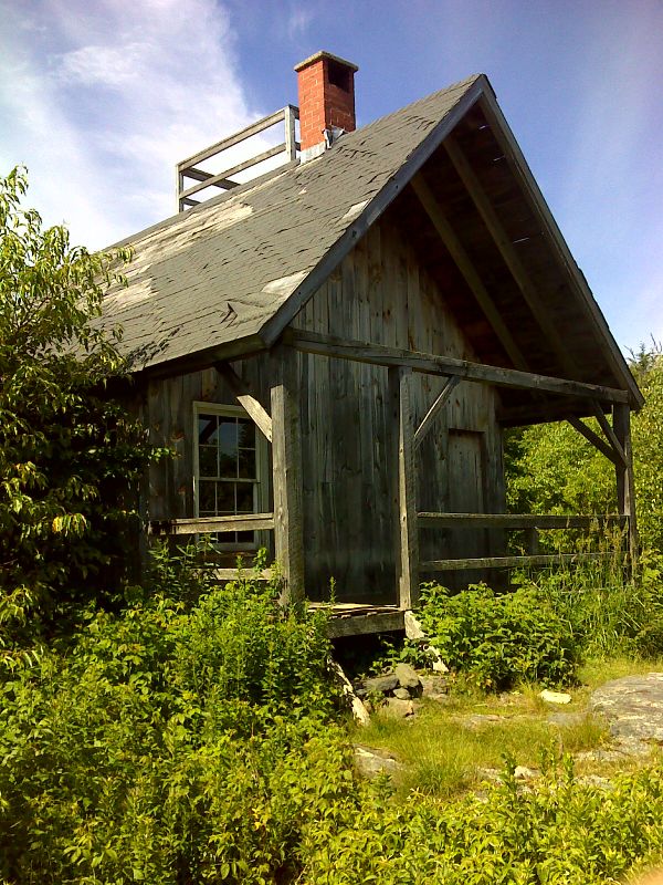
mm 6.2 The Lookout, a cabin on private property. One may climb to the roof for a spectacular view. GPS N43.6789 W72.6383
Submitted by pjwetzel @ gmail.com
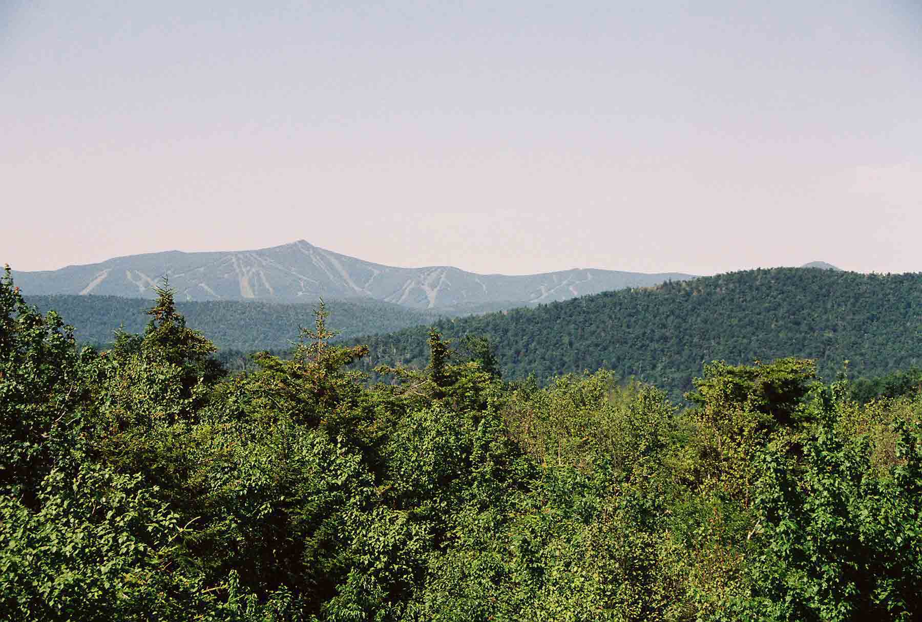
mm 6.2 - A side trail leads from the AT to the Lookout, a cabin which can be used by thru-hikers. There is a ladder to a platform on the roof from which there are 360 degree views. This shot is to the west towards Killington peak.
Submitted by dlcul @ conncoll.edu